| Author | whokrz |
| Year | 2008 |
| Trail Open | June - October (Depending on snow level) |
| Difficulty | Easy [2] |
| Description | One end of Fordyce Trail |
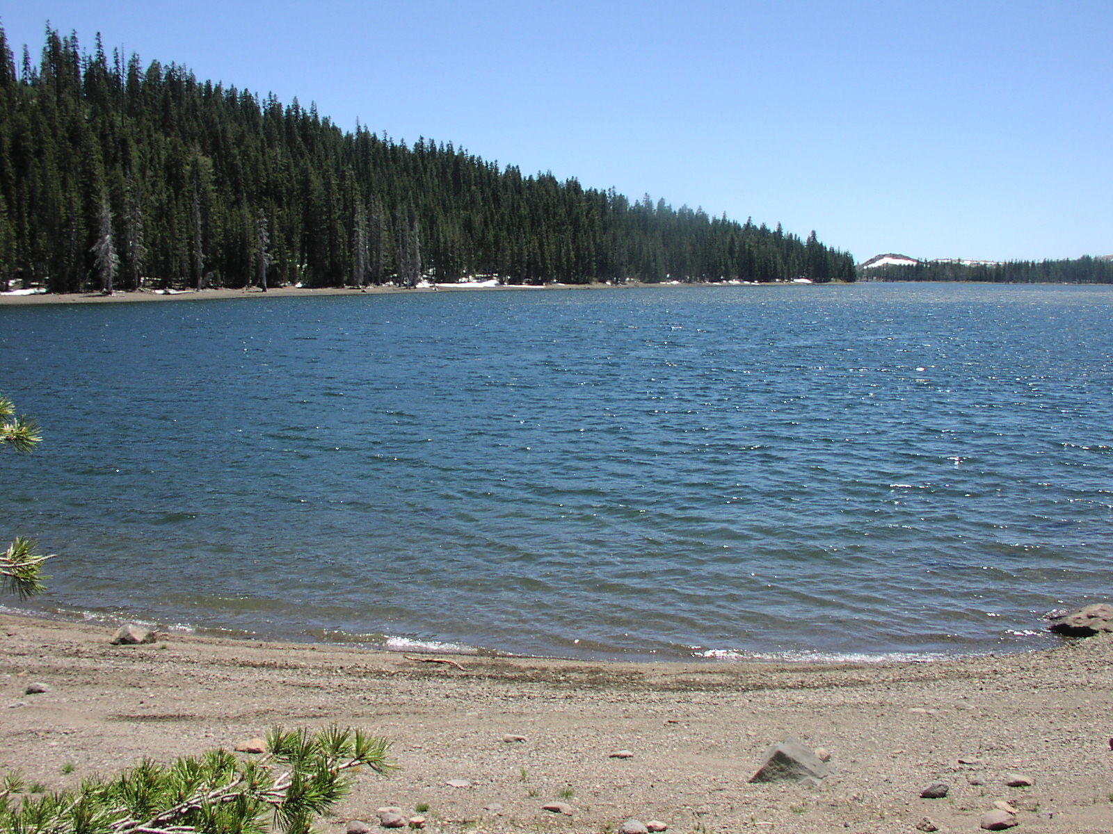
| Location | Tahoe National Forest near Webber Lake |
| Directions | Google Maps from Truckee |
| Fishing | I didn't fish |
| Camping | Few spots at the lake |
| Elevation | 7300 |
| Latitude | 39° 25' 10" N |
| Longitude | 120° 29' 16" W |
| Weather | National Weather Service |
| Map Index | D-7 (Tahoe National Forest) |
| Maps |
Small Map of Area Tahoe National Forest Map (9MB) |
View Larger Map


|