| Author | whokrz |
| Year | 2005, 2007 |
| Trail Open | June - October (Depending on snow level) |
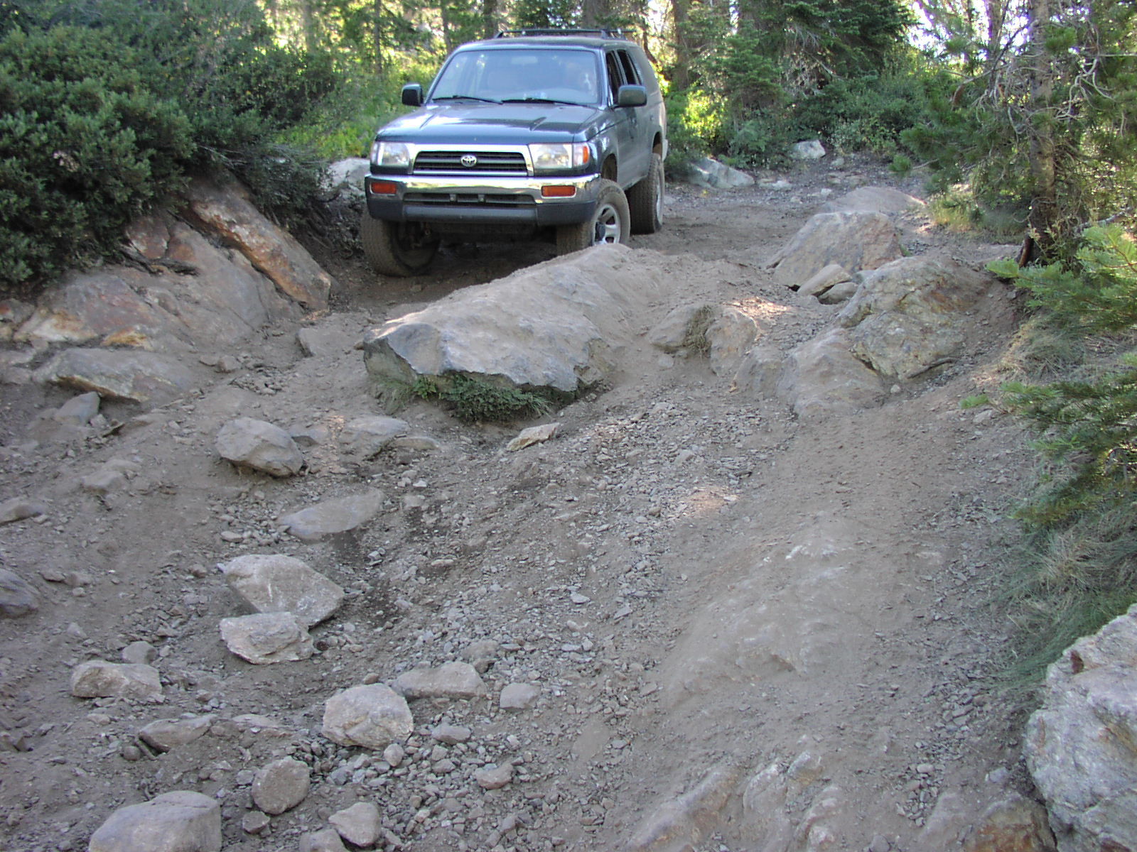
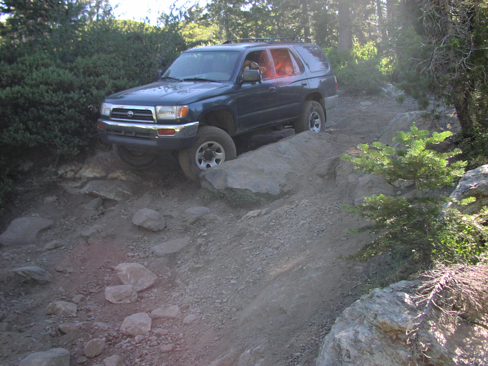
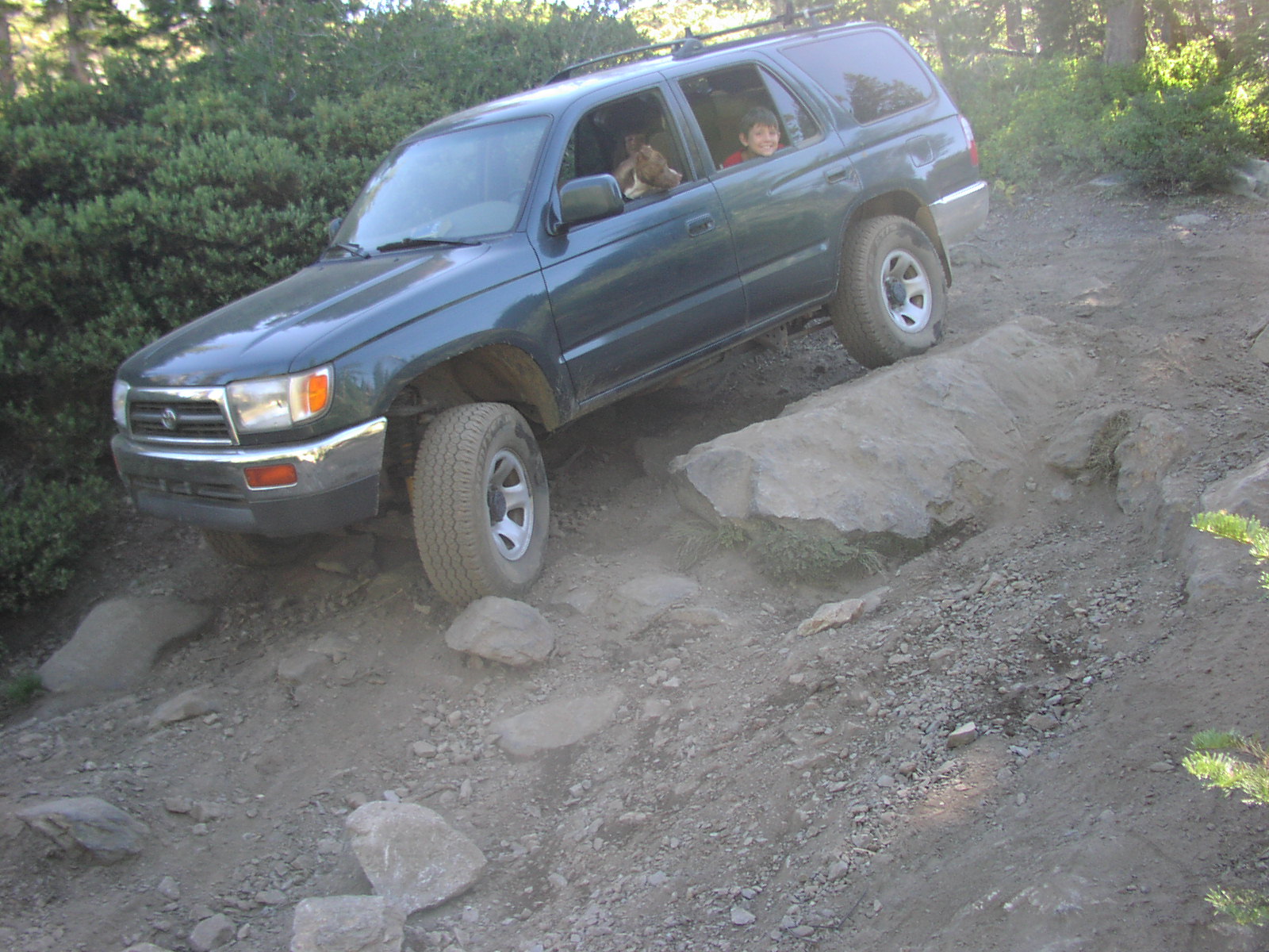
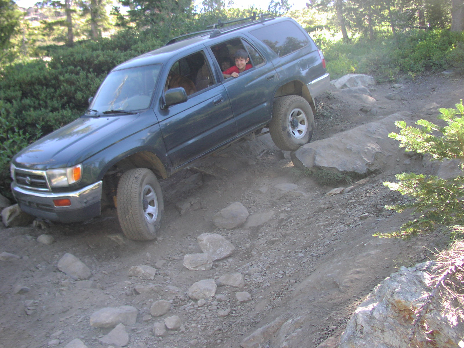
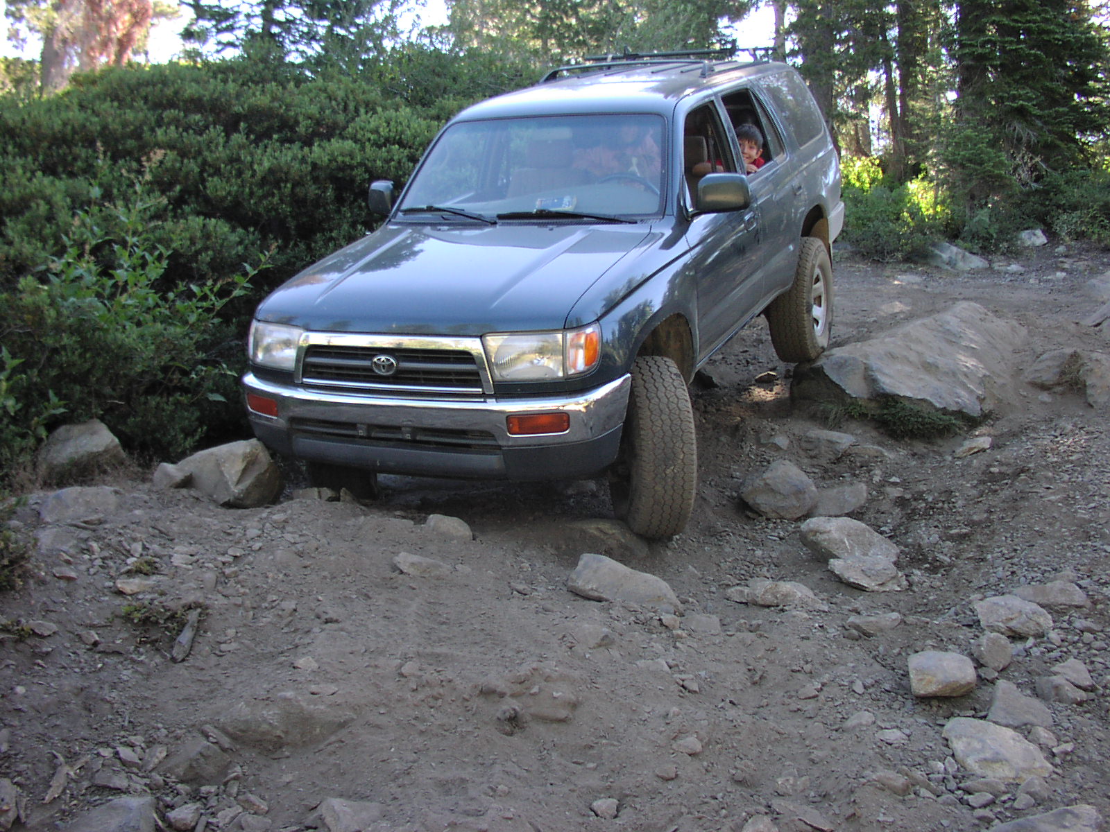
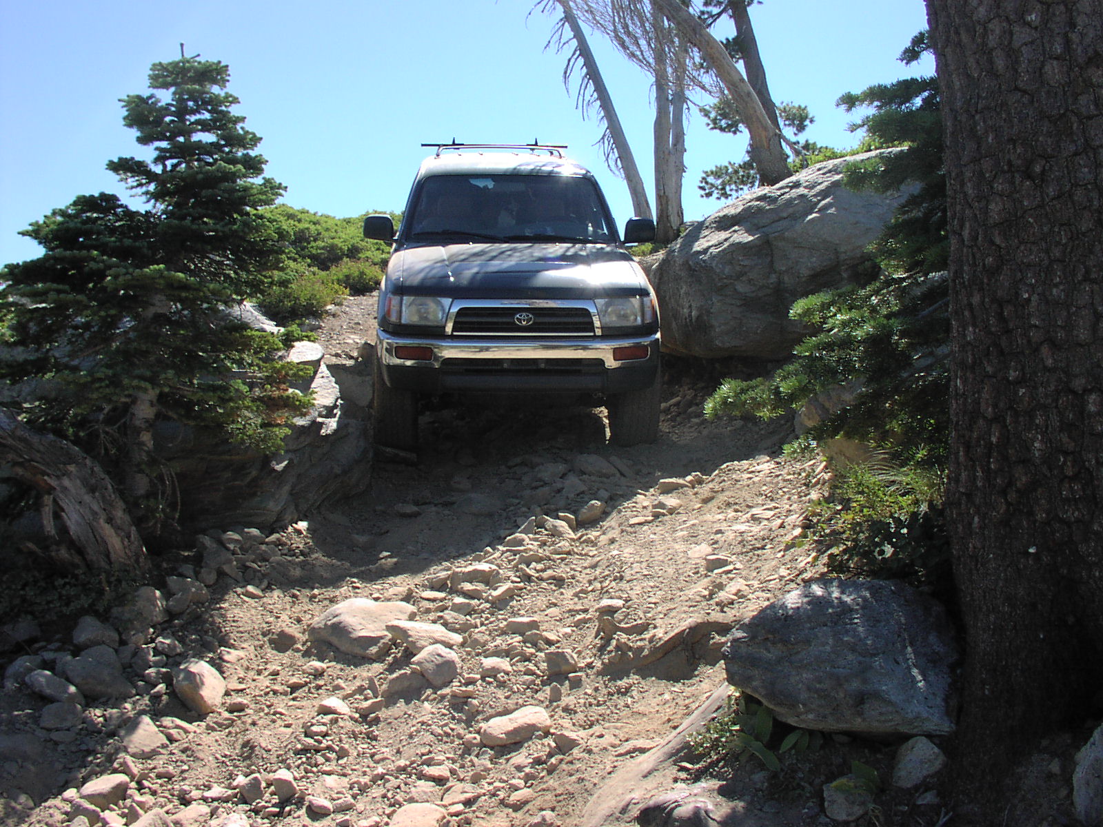
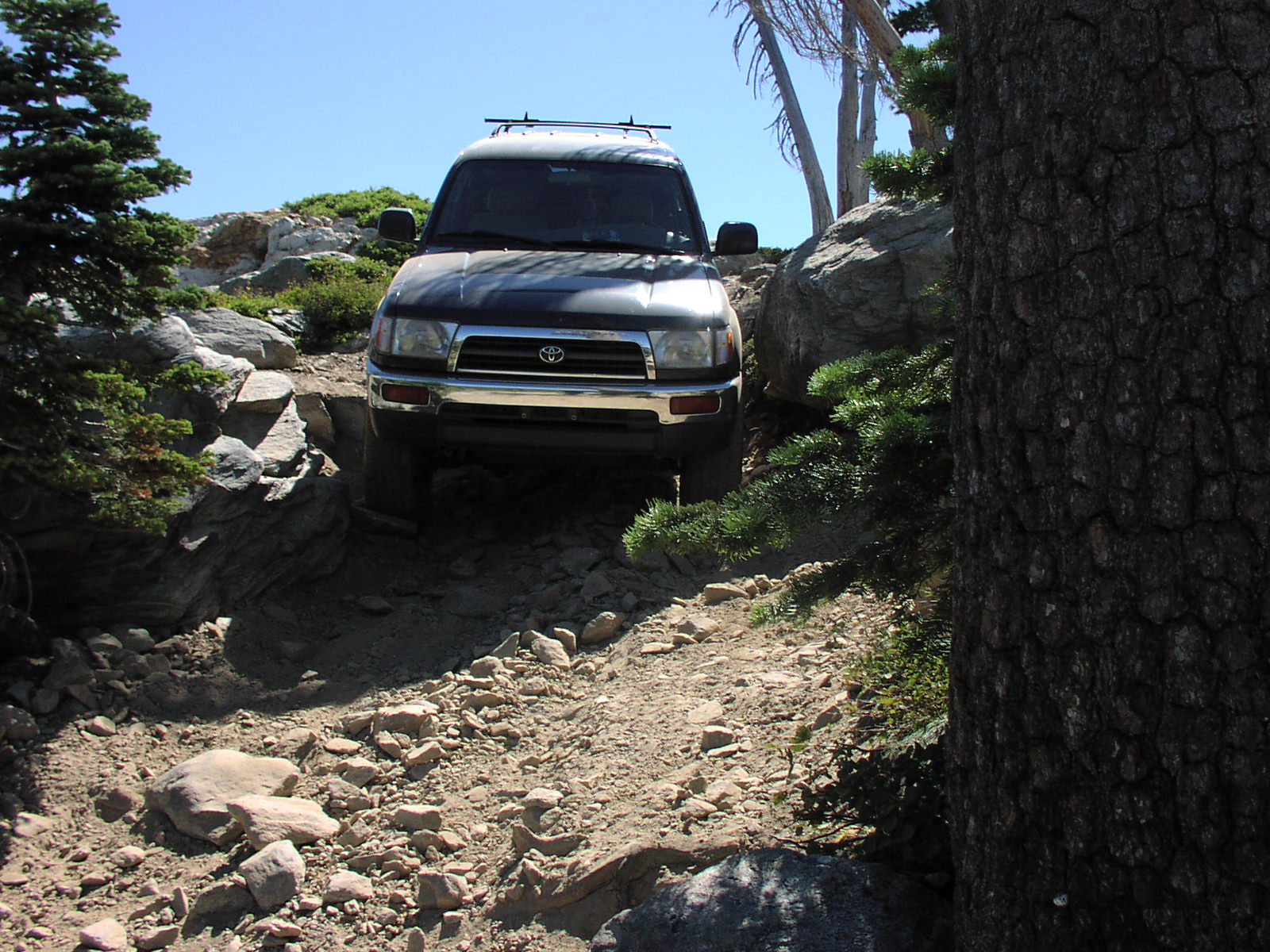
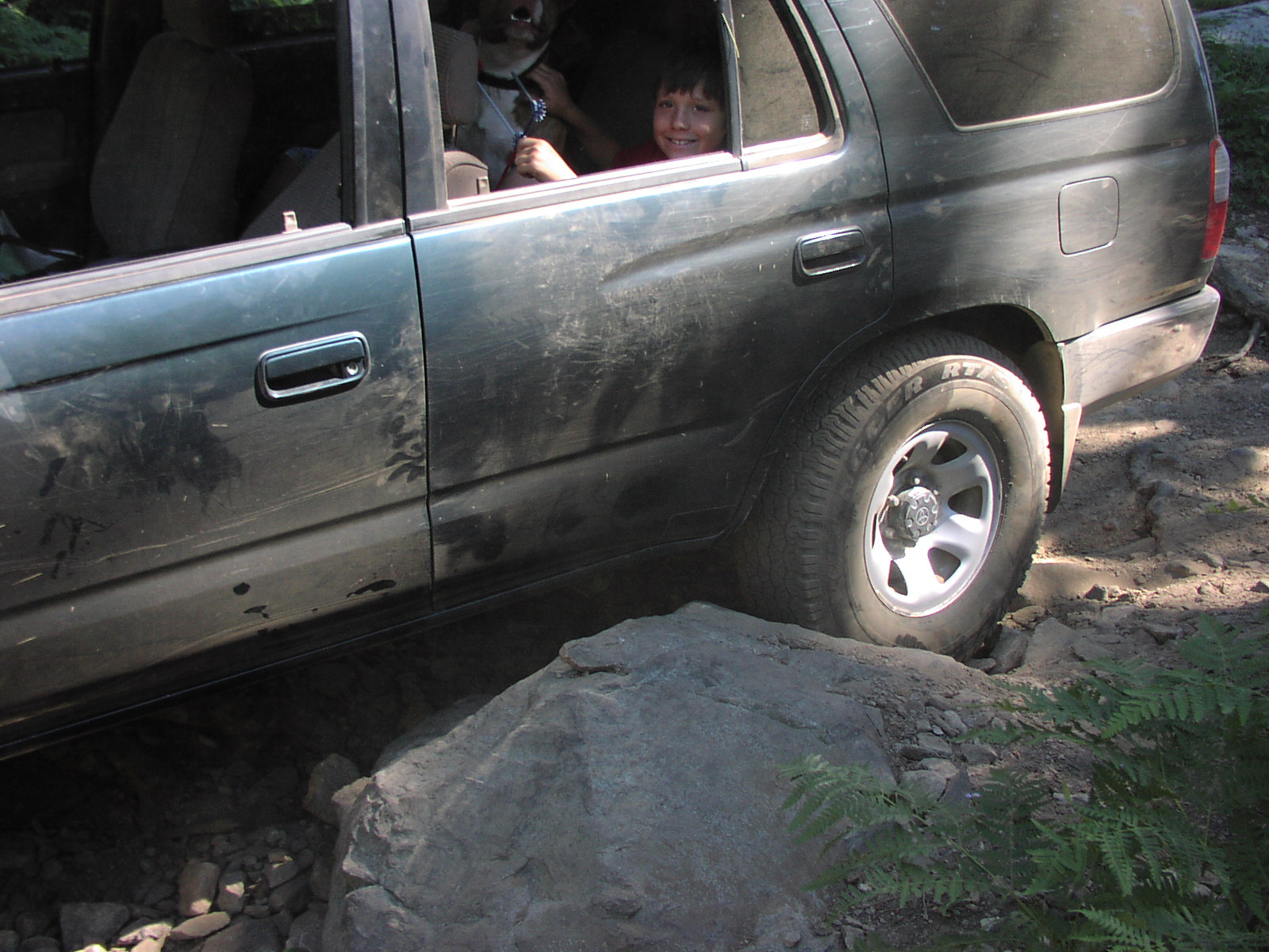
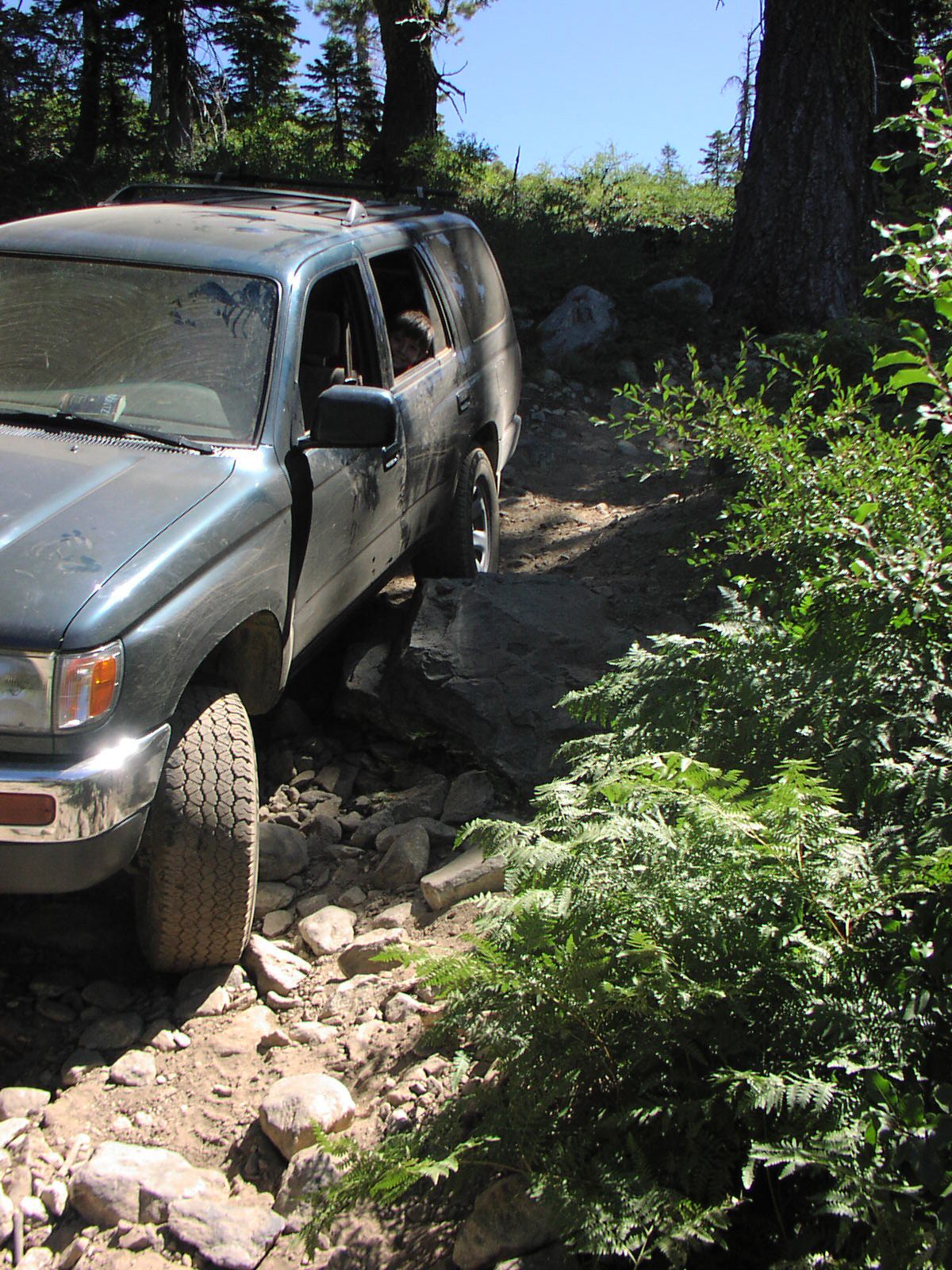
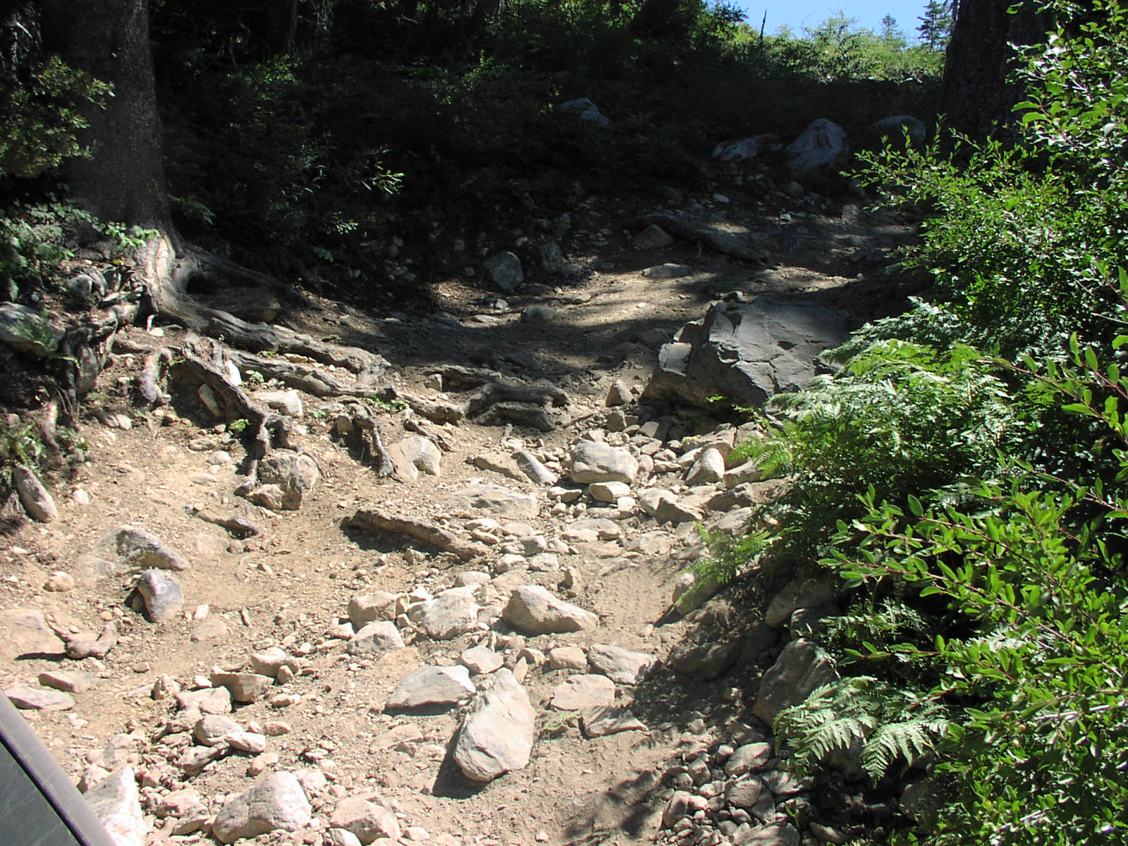
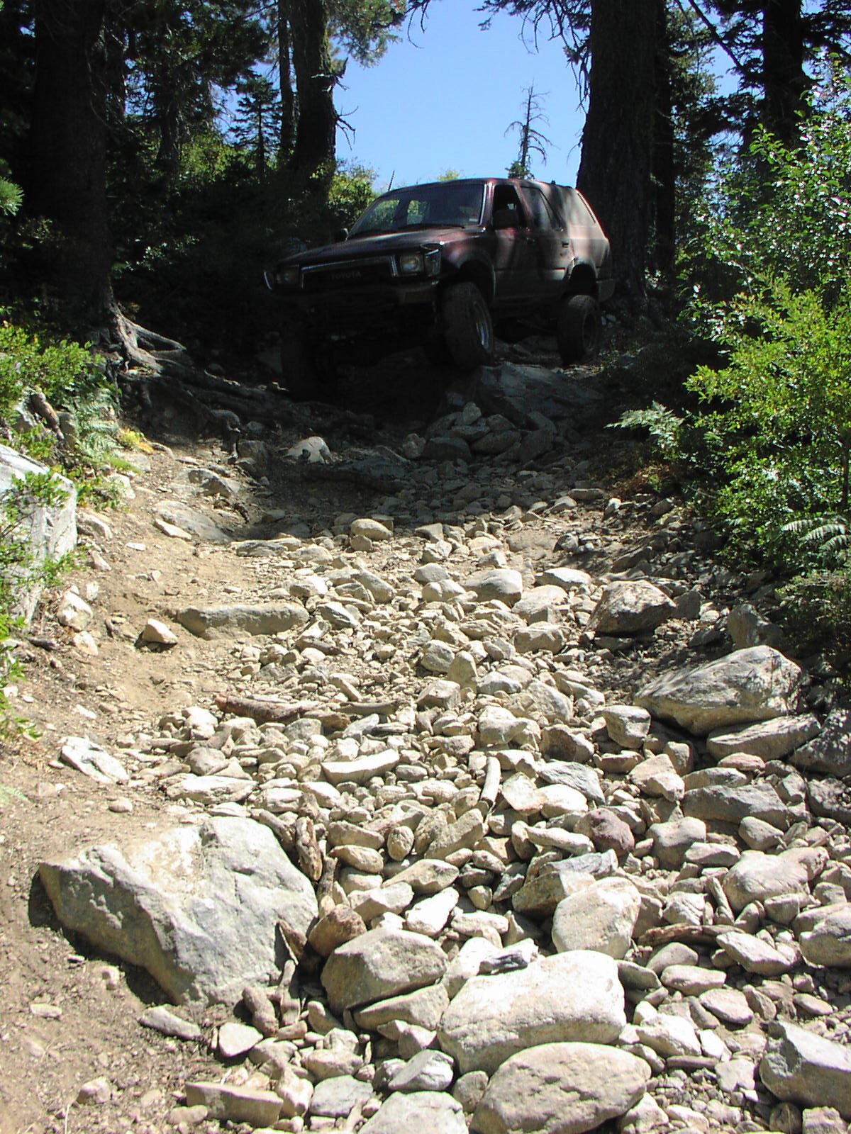
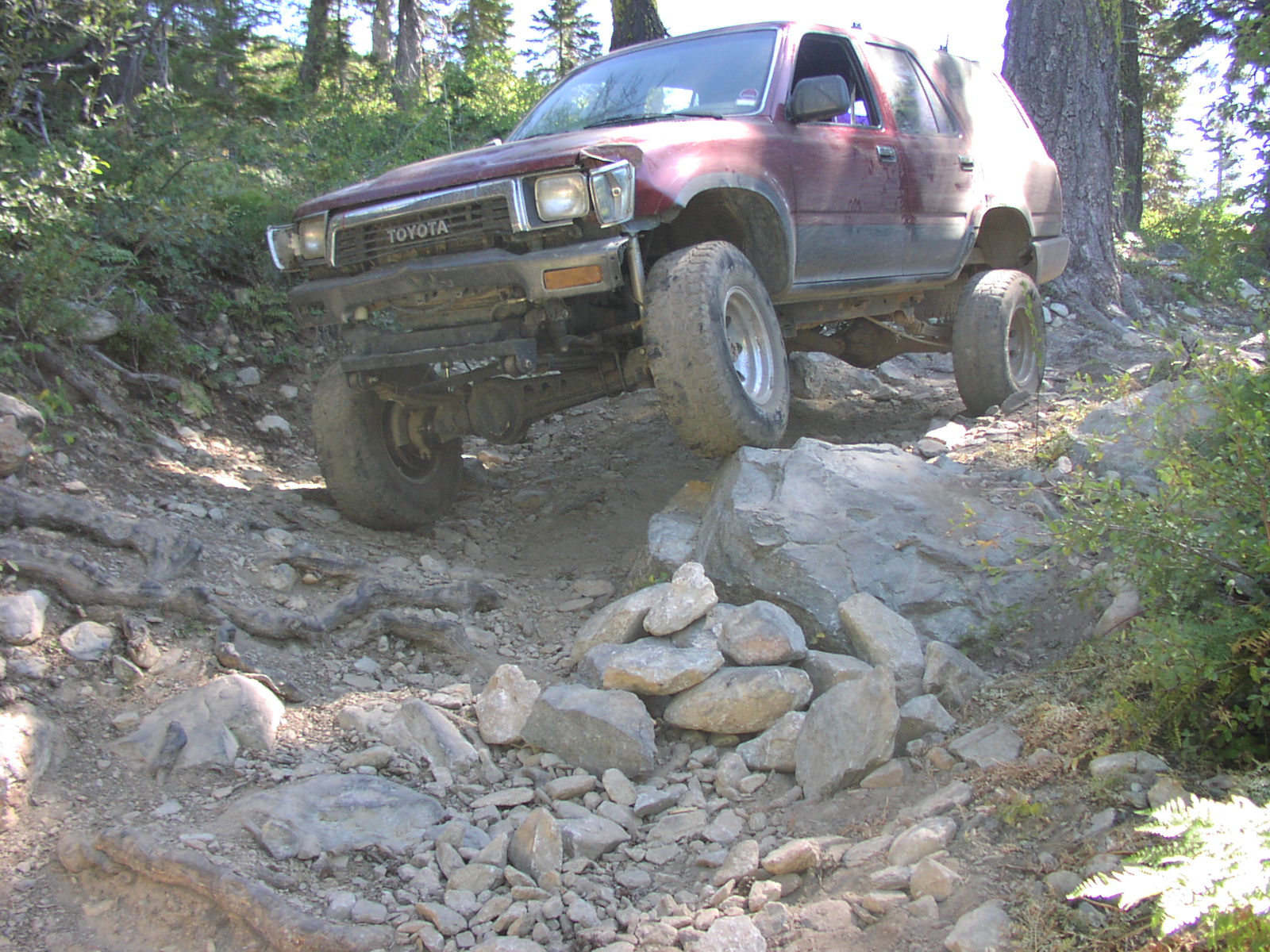
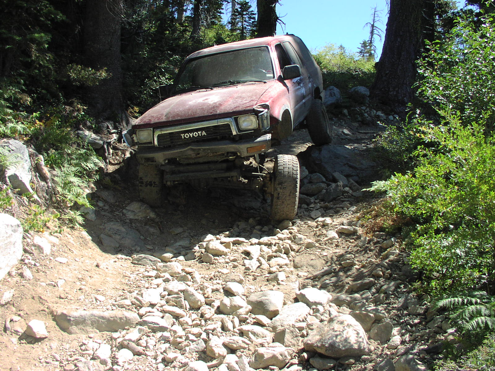
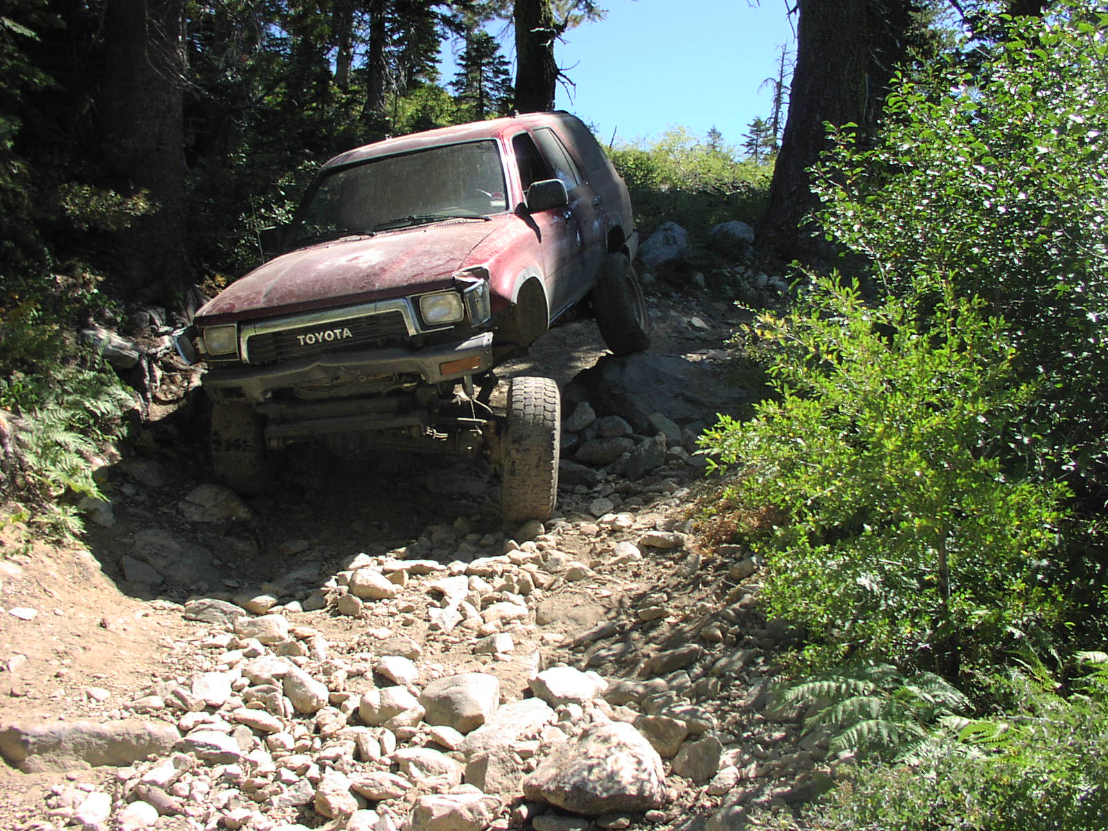
| Difficulty |
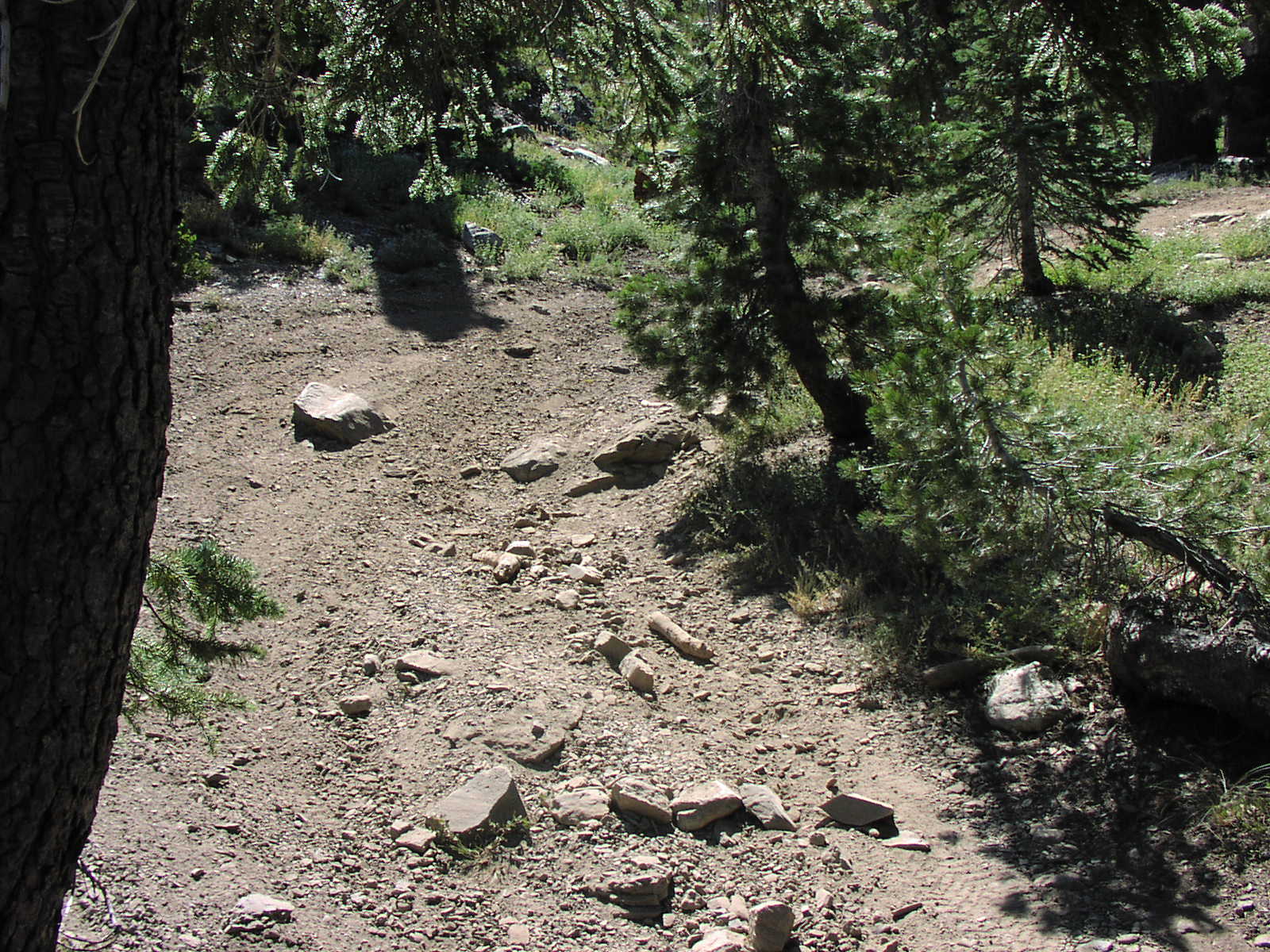
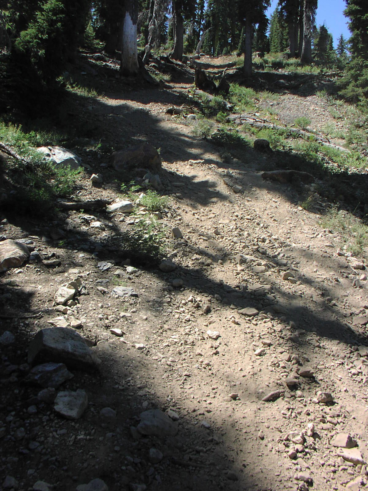
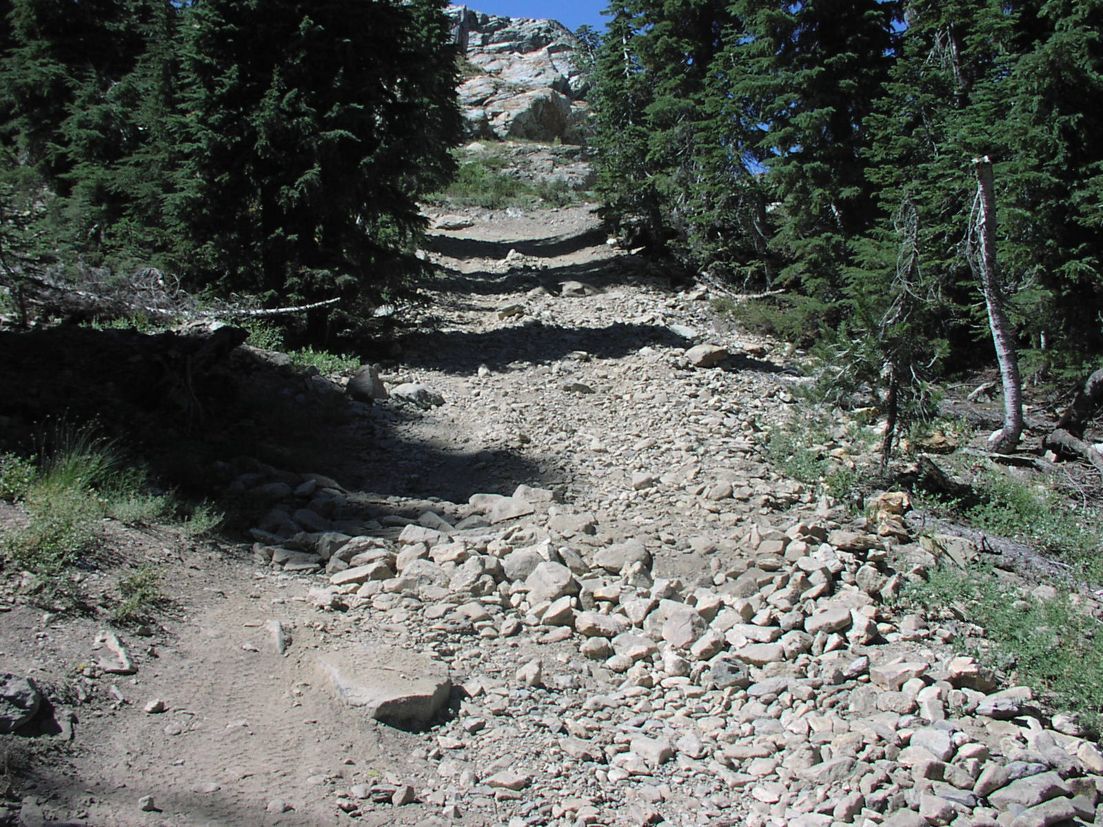
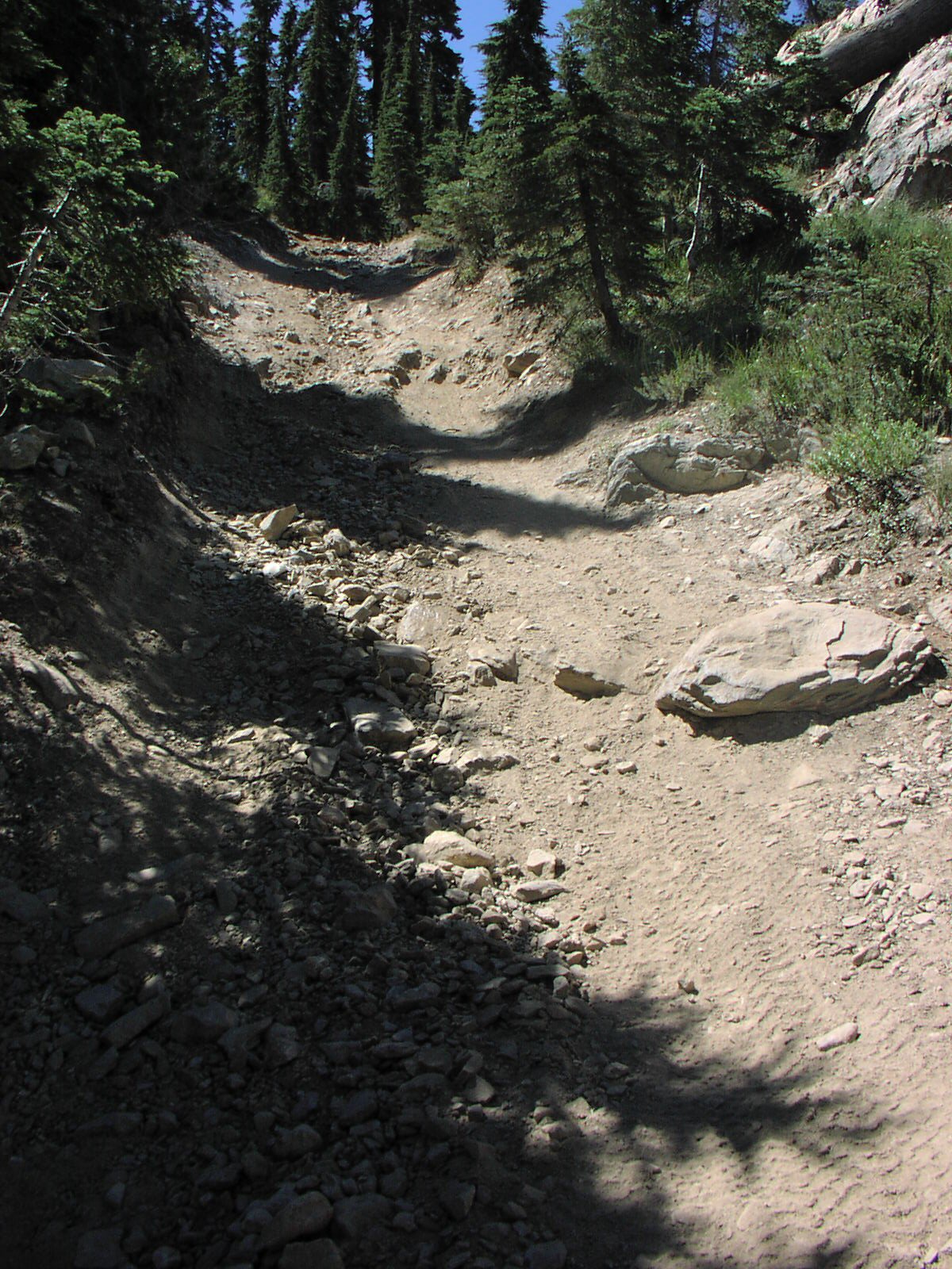
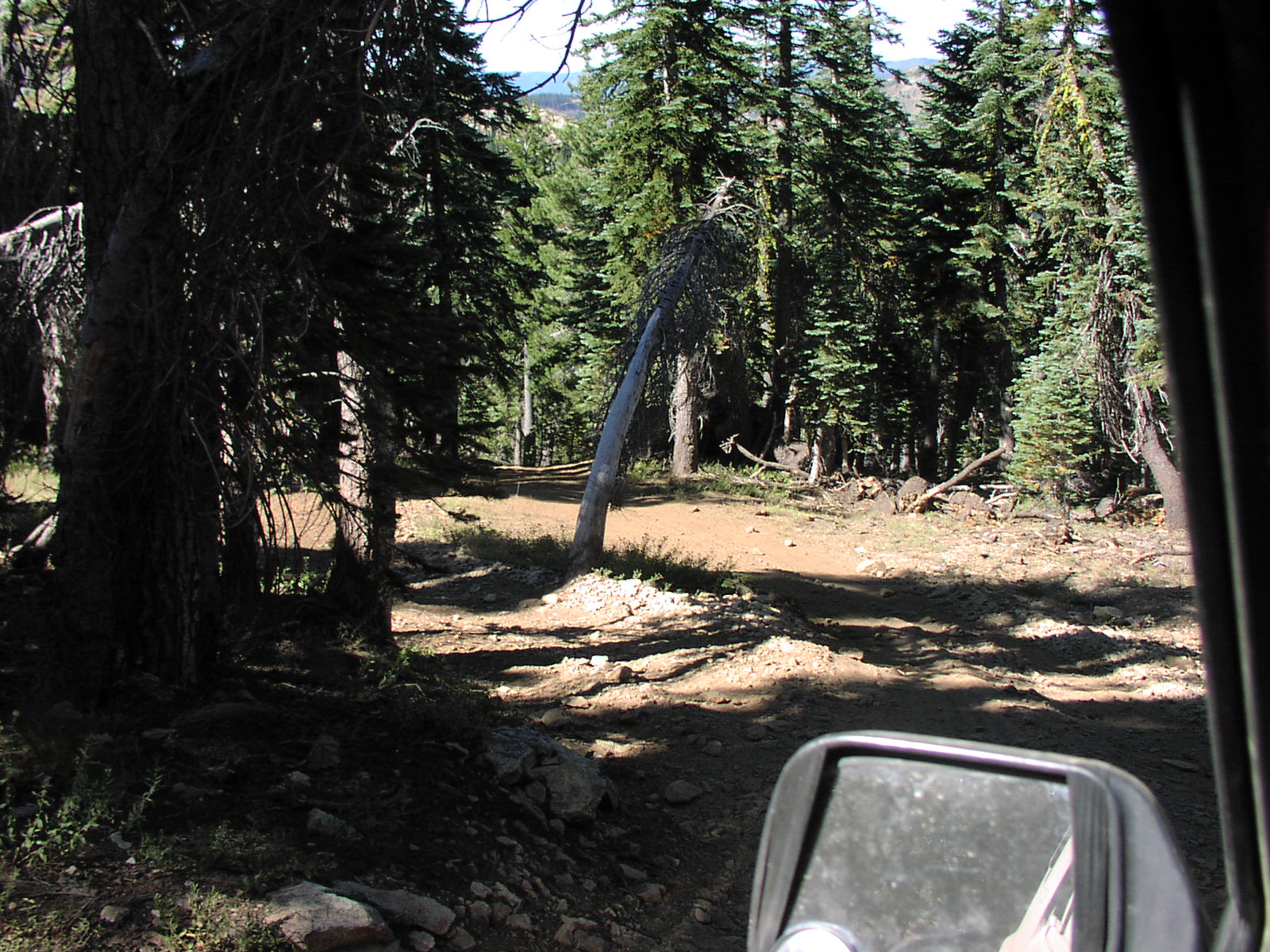
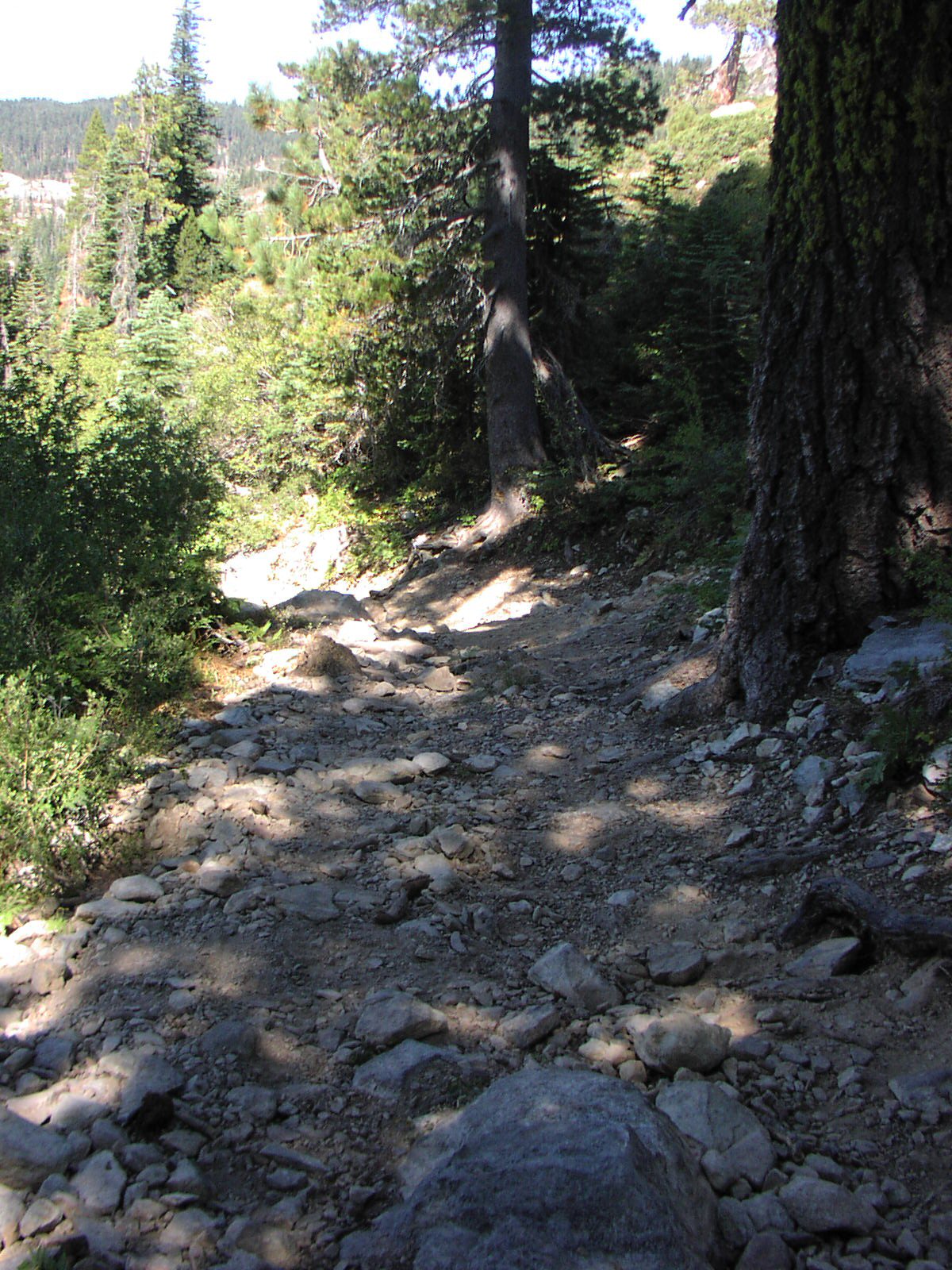
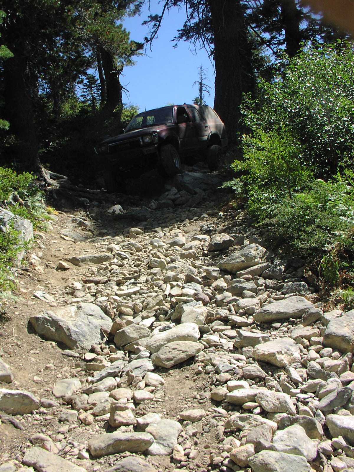
The Trail is rated
Moderate [6]
from Summit Lake to Little Deer Lake The Trail is rated Difficult [7] from Little Deer Lake to Snake Lake |
| Description | This trail is not labeled with a sign. When you see the sign for snake lake turn left. |
| Location | Tahoe National Forest near Gold Lake |
| Directions | Google Maps from Truckee to above Gold Lake. When you reach this point you will need to use the Forest Service Map. |
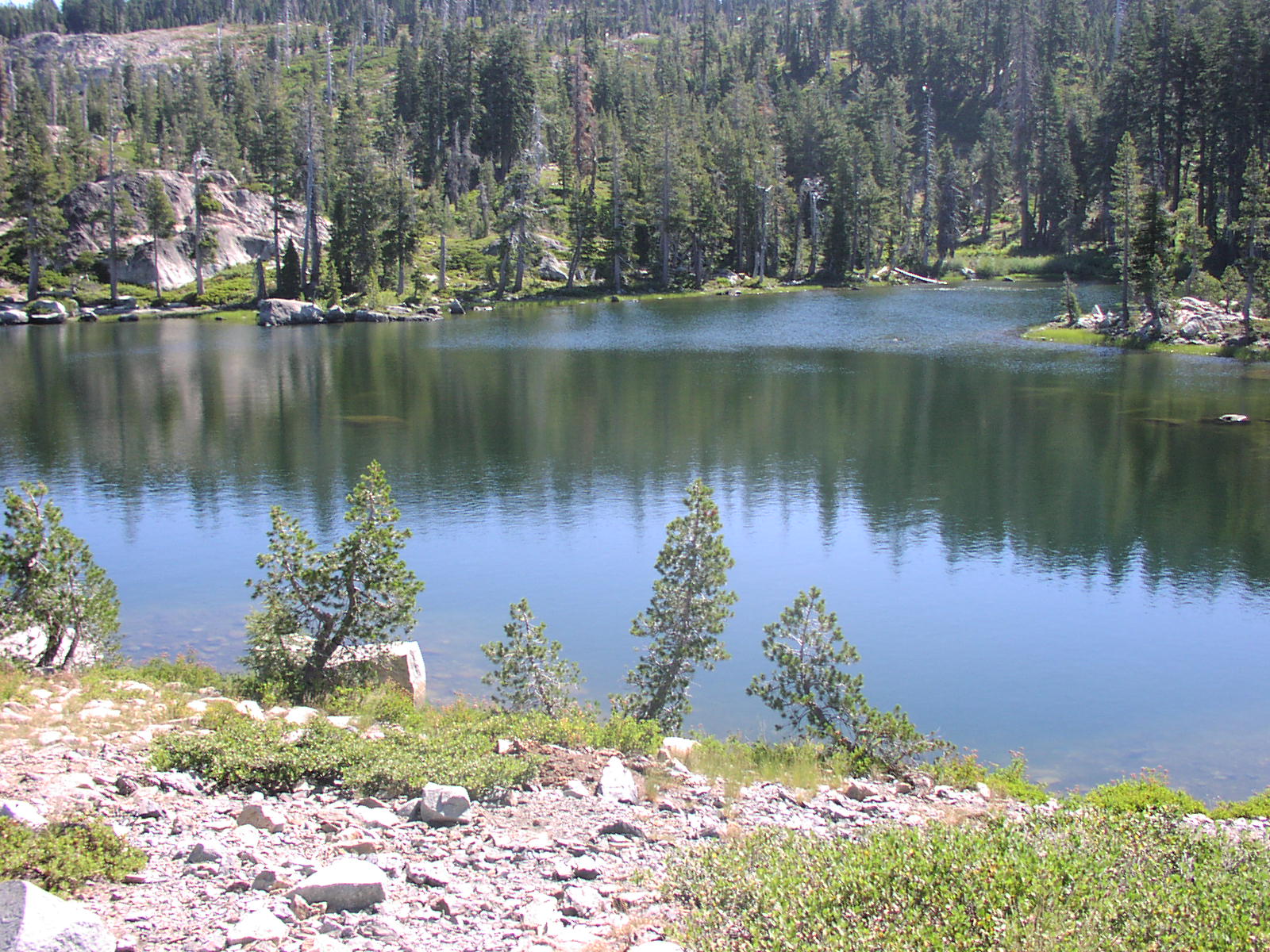
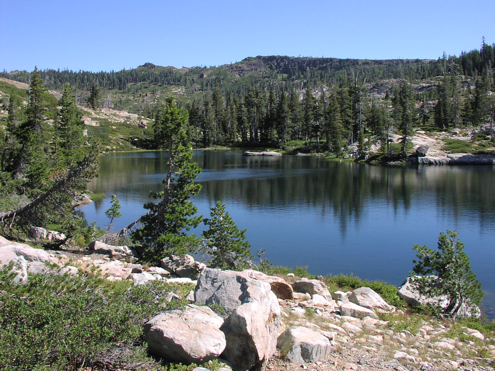
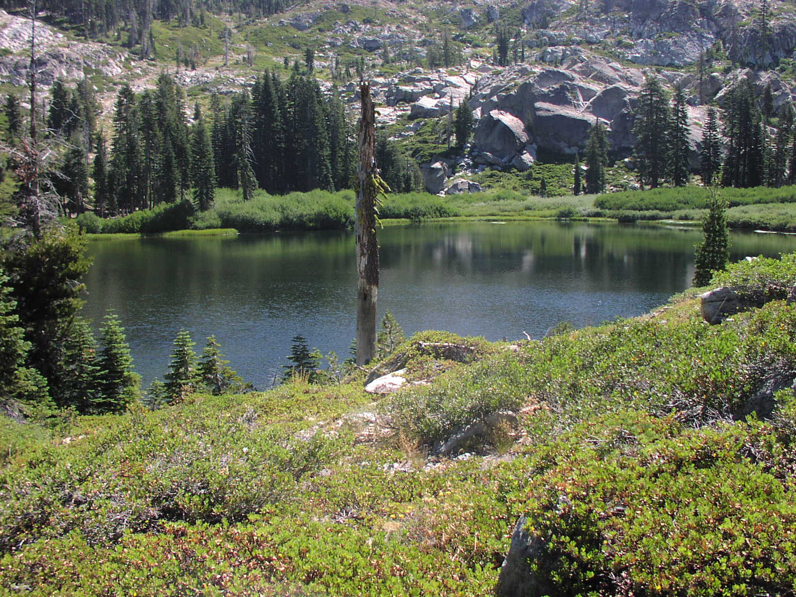
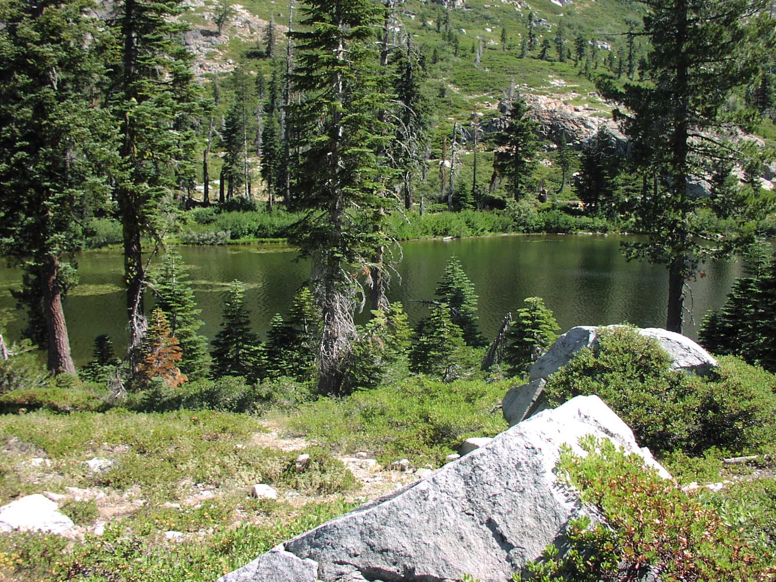
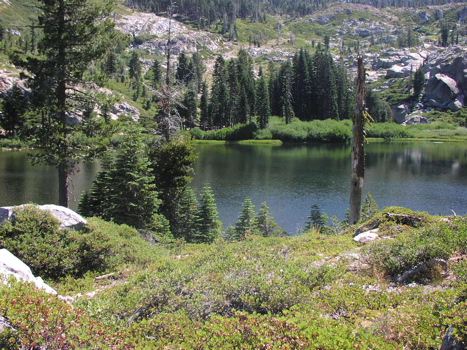
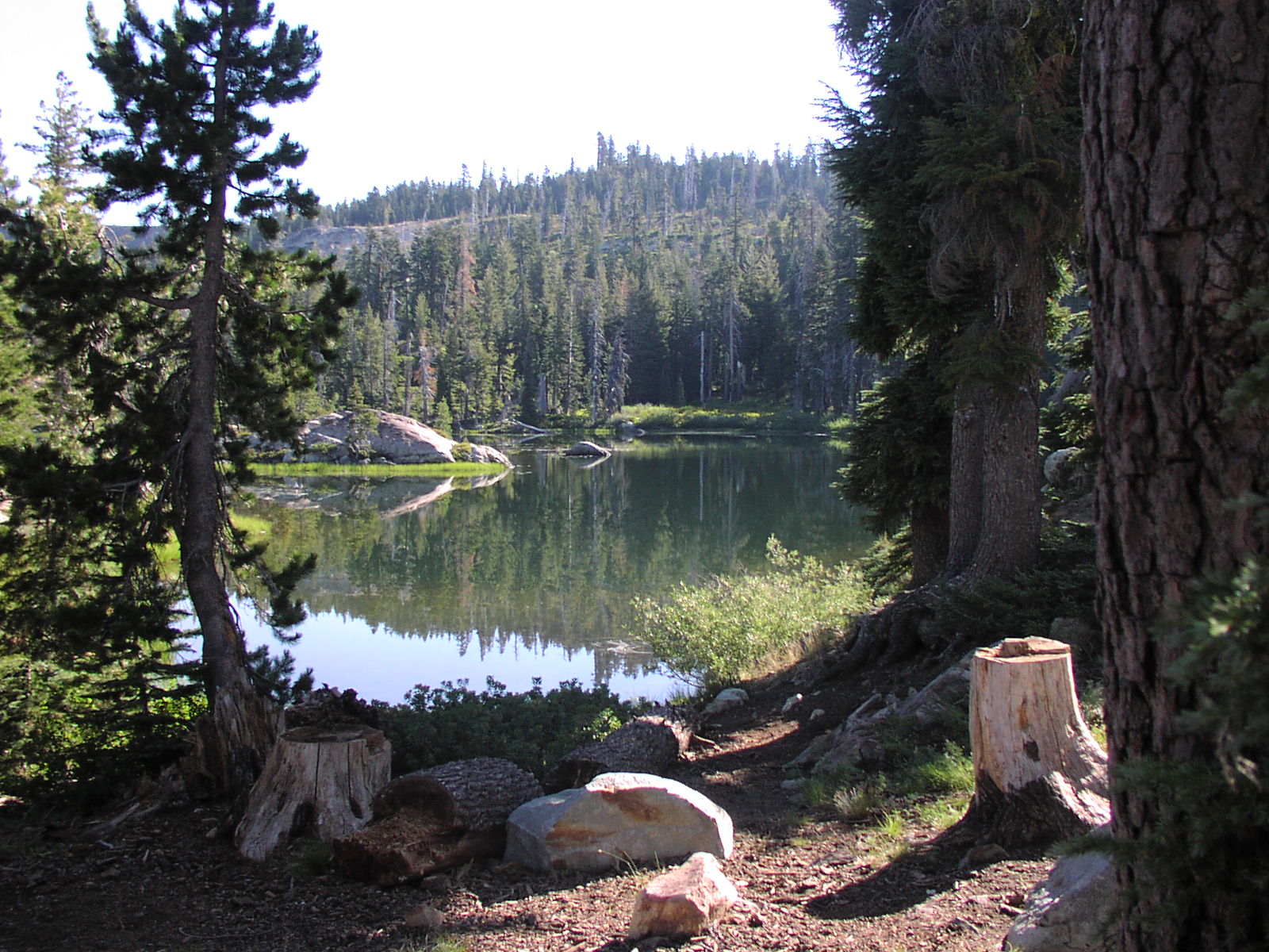
| Fishing | I didn't catch any at Little Deer Lake or see any signs of fish. I didn't fish in Snake Lake. |
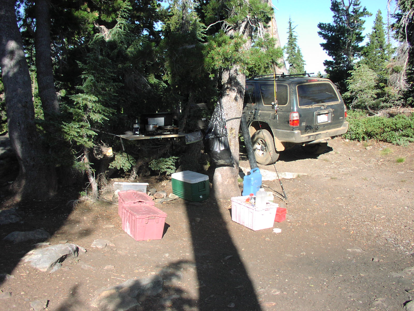
| Camping | 1 at Little Deer Lake, and a few flat spots along the trail. |
| Elevation | 6800 - 7200 |
| Latitude | 39° 40' 11" N |
| Longitude | 120° 41' 26" W |
| Weather | National Weather Service |
| Map Index | B-5 (Tahoe National Forest) |
| Maps |
Small Map of Area Tahoe National Forest Map (9MB) |
| Links | sacramentojeepers.org |
View Larger Map
2007 
|