| Author | whokrz |
| Year | 2005,2006, & 2007 |
| Trail Open | June - October (Depending on snow level) |
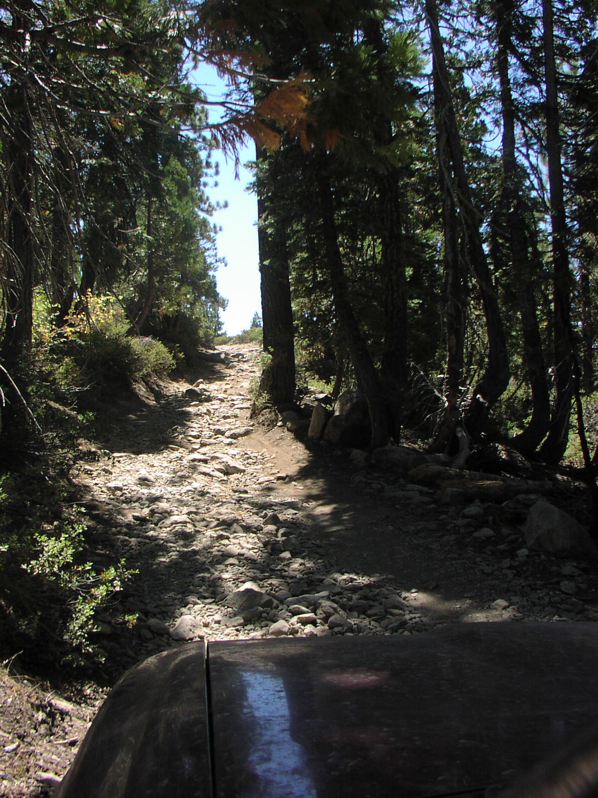
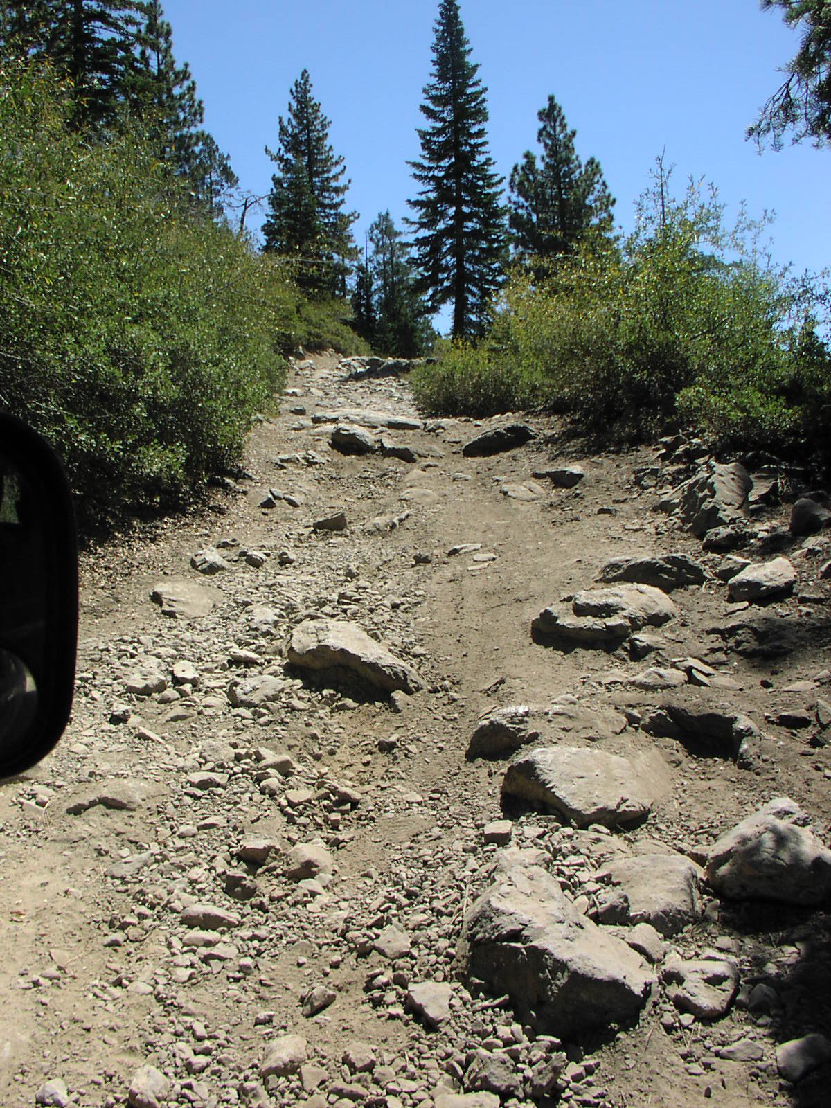
| Difficulty | Moderate [5] |
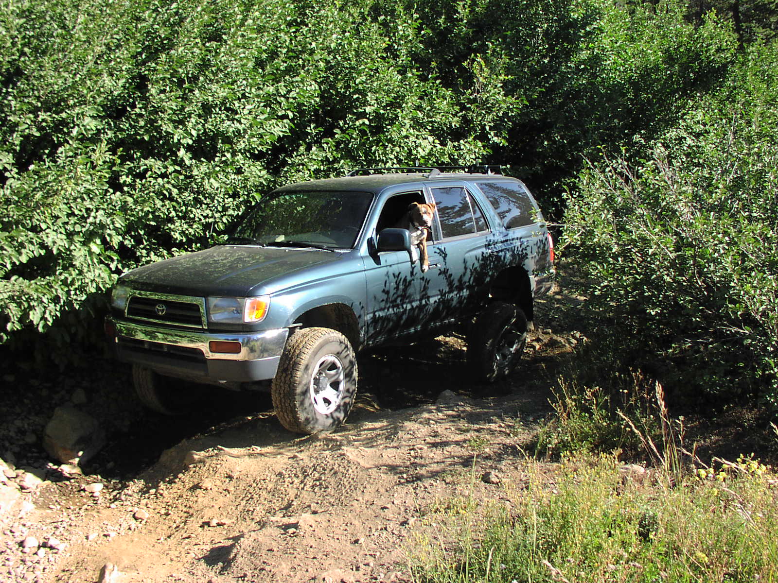
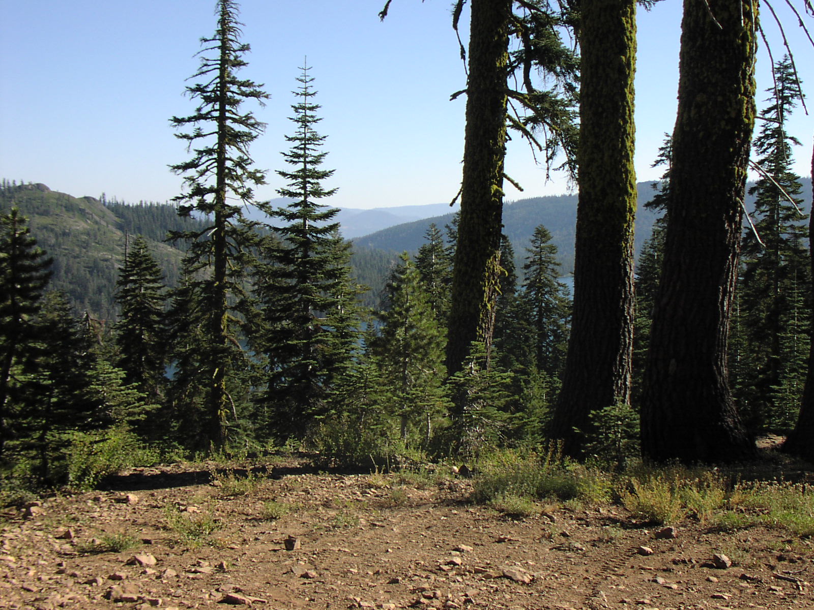
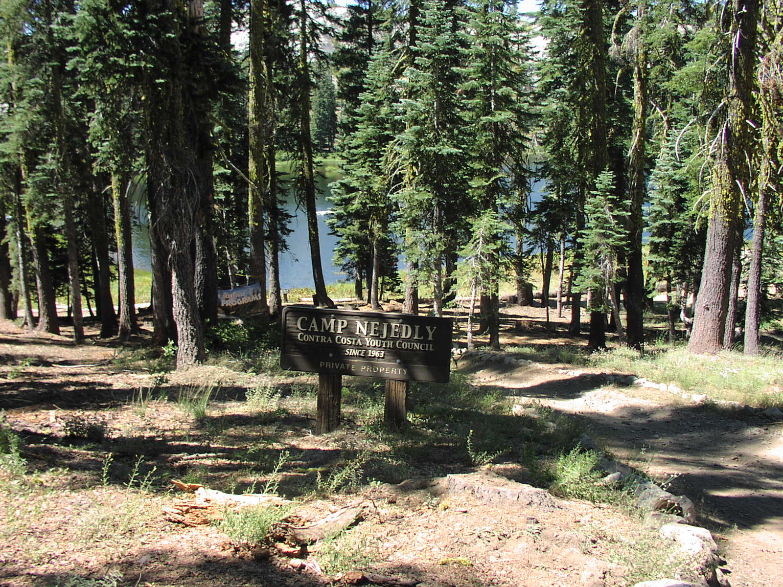
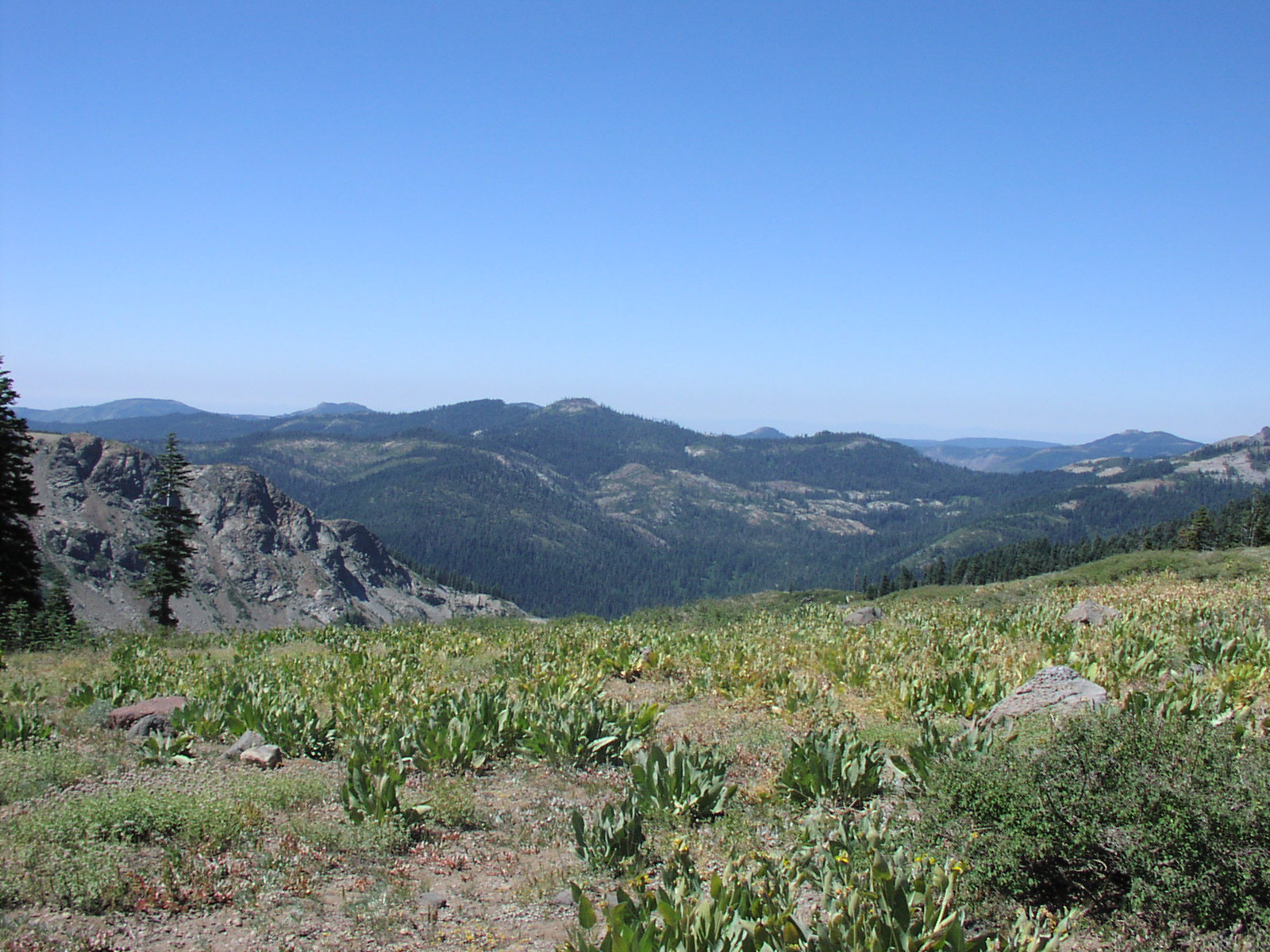
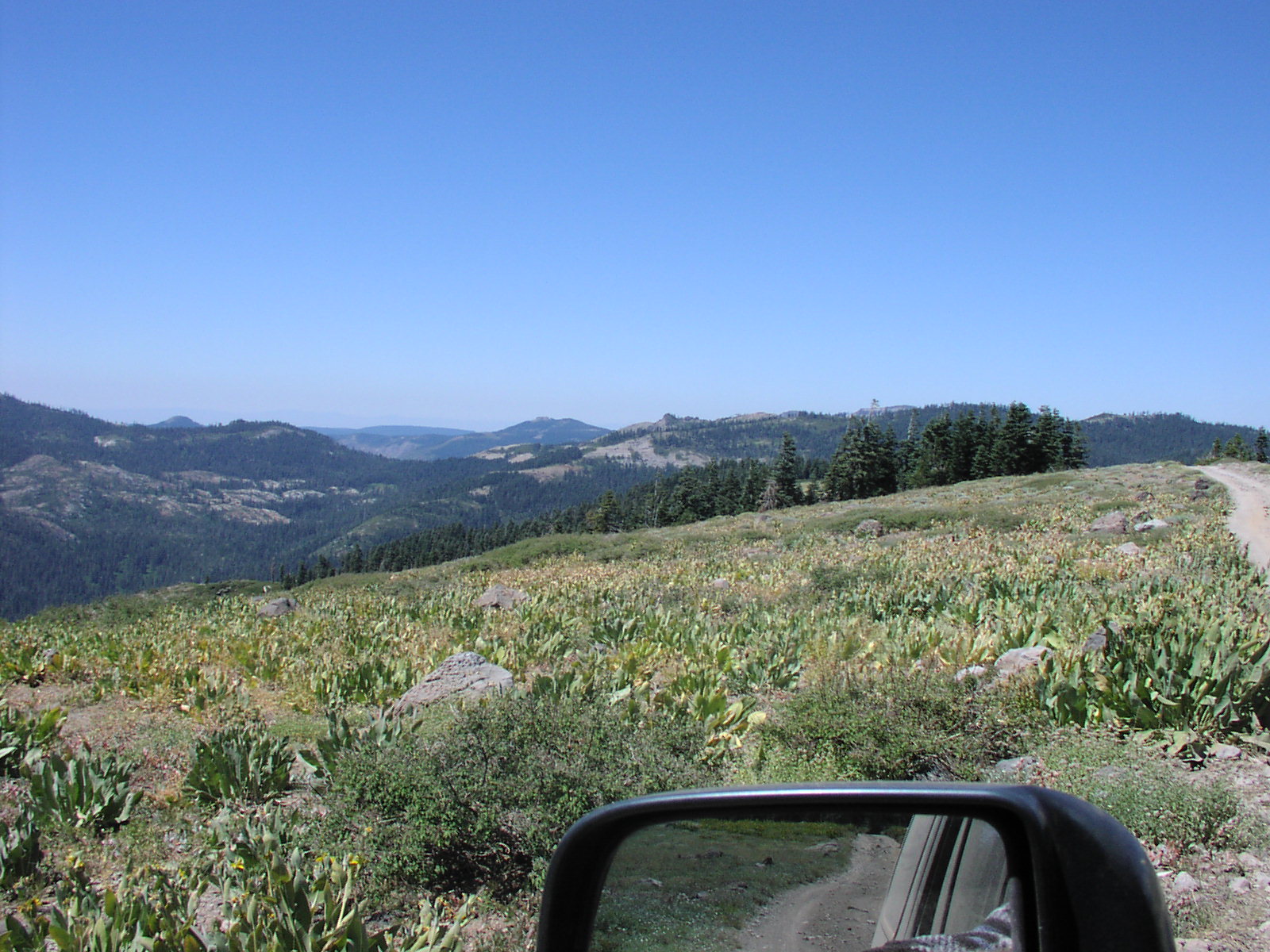
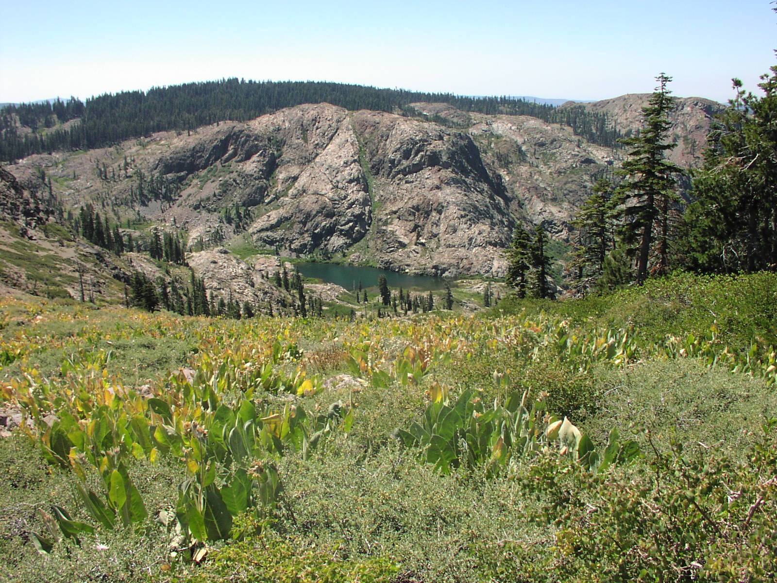
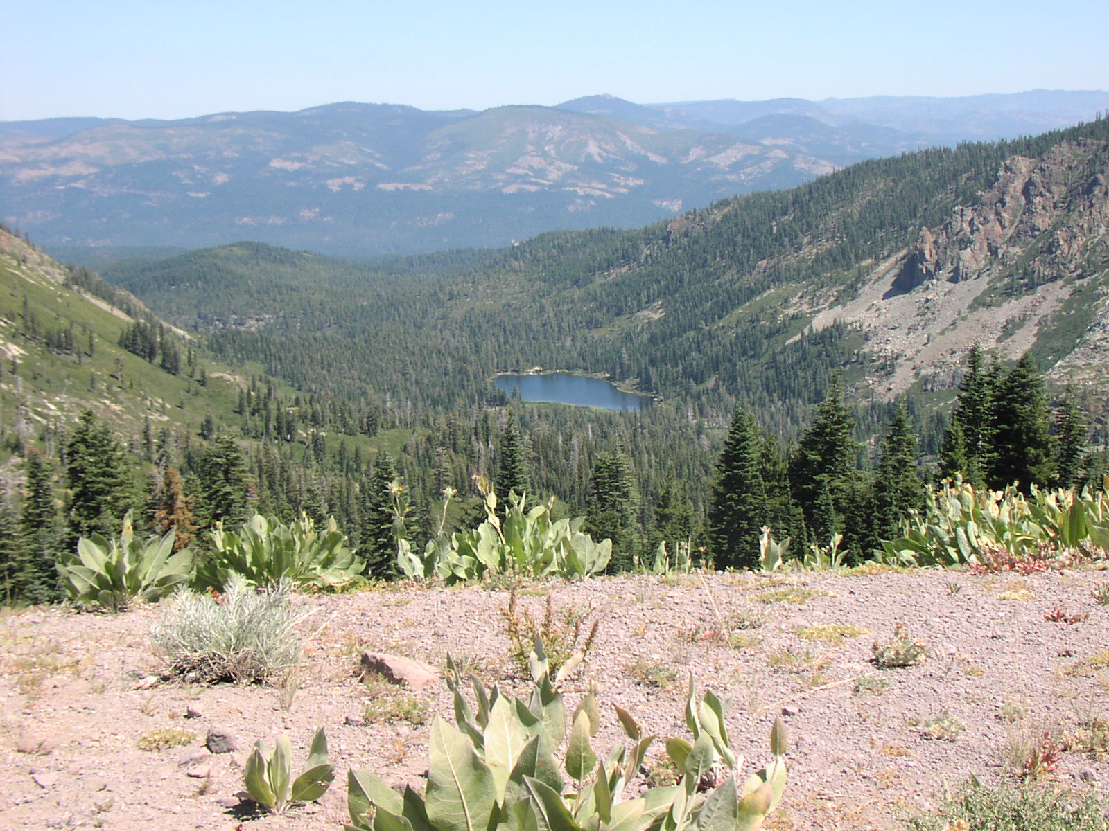
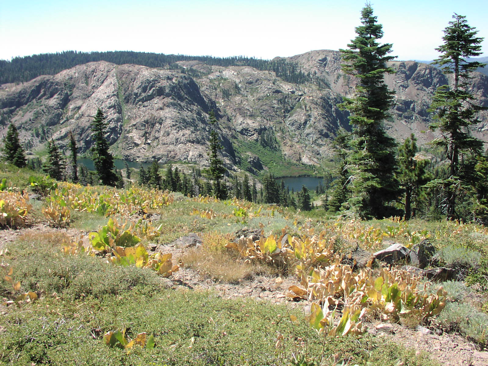
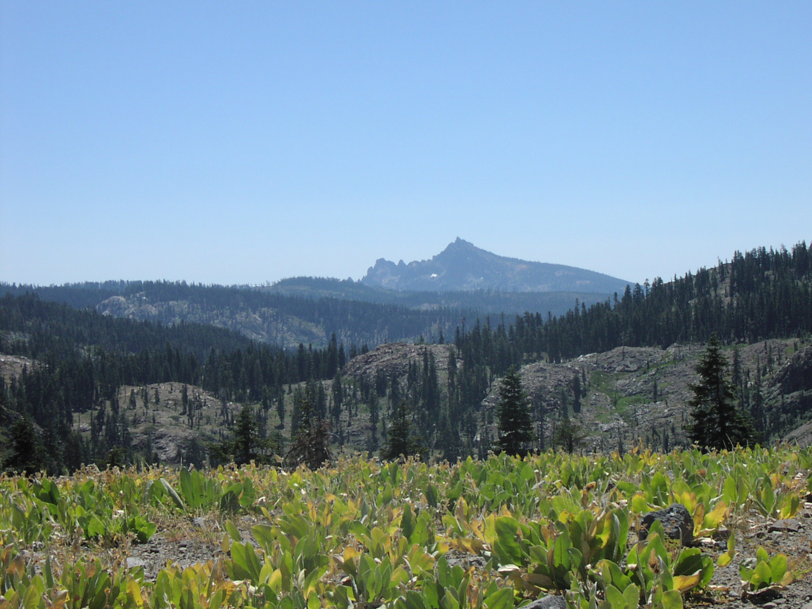
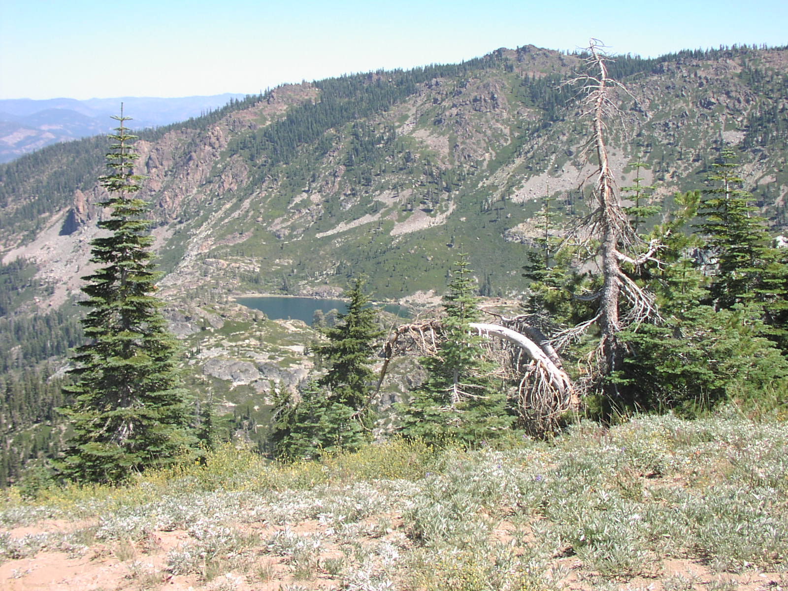
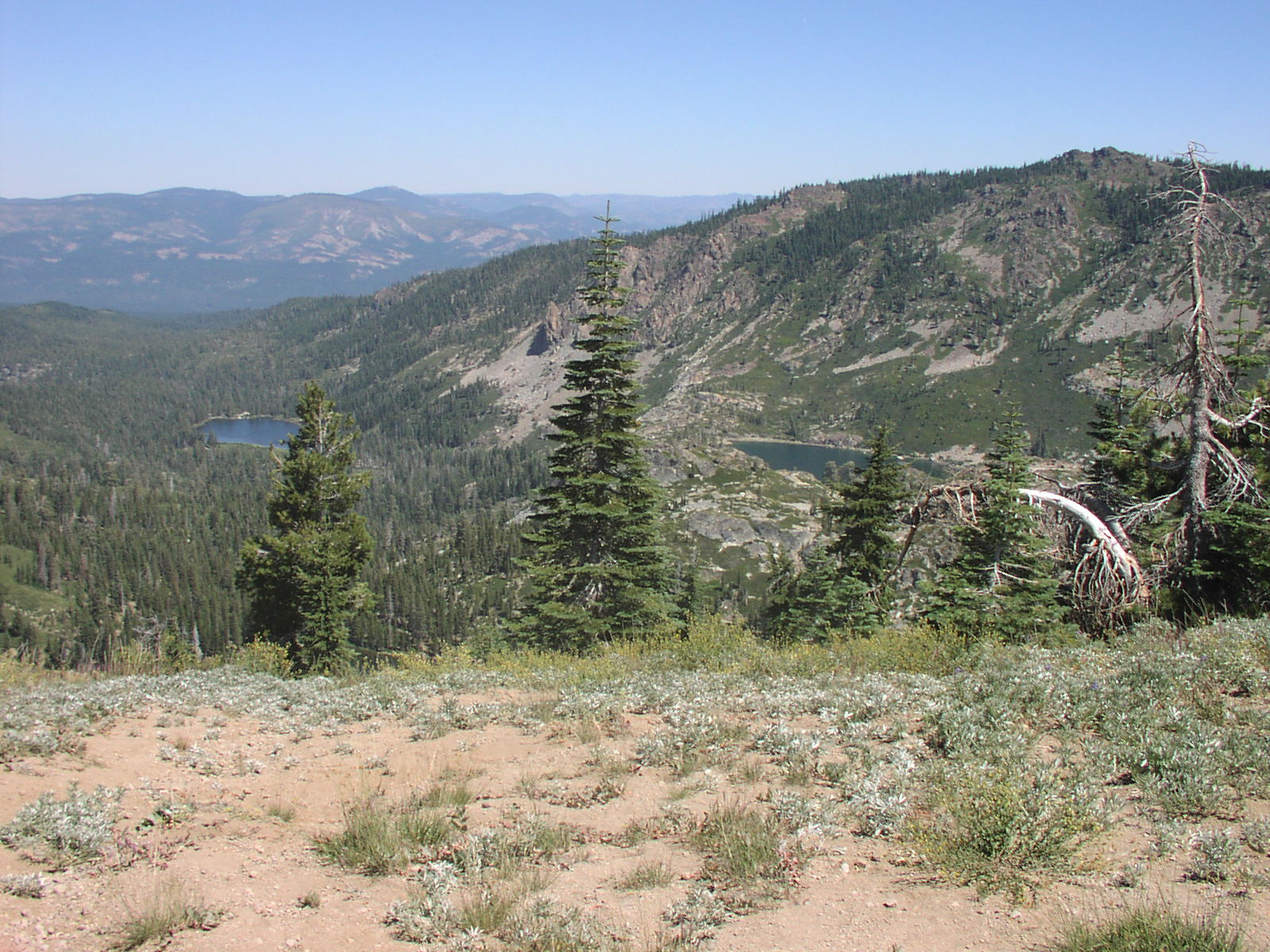
| Description | The trail takes you from gold lake down into the valley, then up onto a ridge. The view is very nice. |
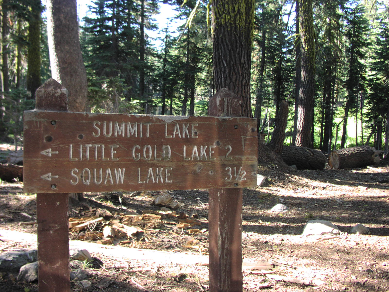
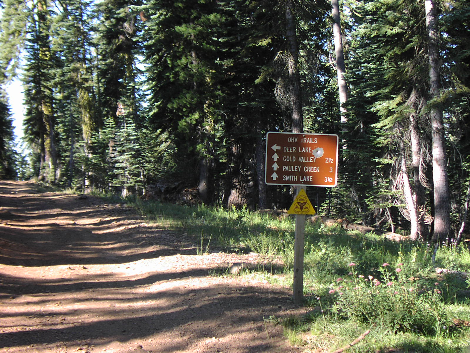
| Location | Tahoe National Forest near Gold Lake |
| Directions | Google Maps |
| Fishing | Only minows in creek |
| Camping | There are a few spots along the trail. |
| Elevation | 6500 - 7000 |
| Latitude | 39° 39' 59" N |
| Longitude | 120° 40' 28" W |
| Weather | National Weather Service |
| Map Index | B-5 (Tahoe National Forest) |
| Maps |
Small Map of Area Tahoe National Forest Map (9MB) |
View Larger Map
|