| Author | whokrz |
| Year | 2005, 2008 |
| Trail Open | June - October (Depending on snow level) |
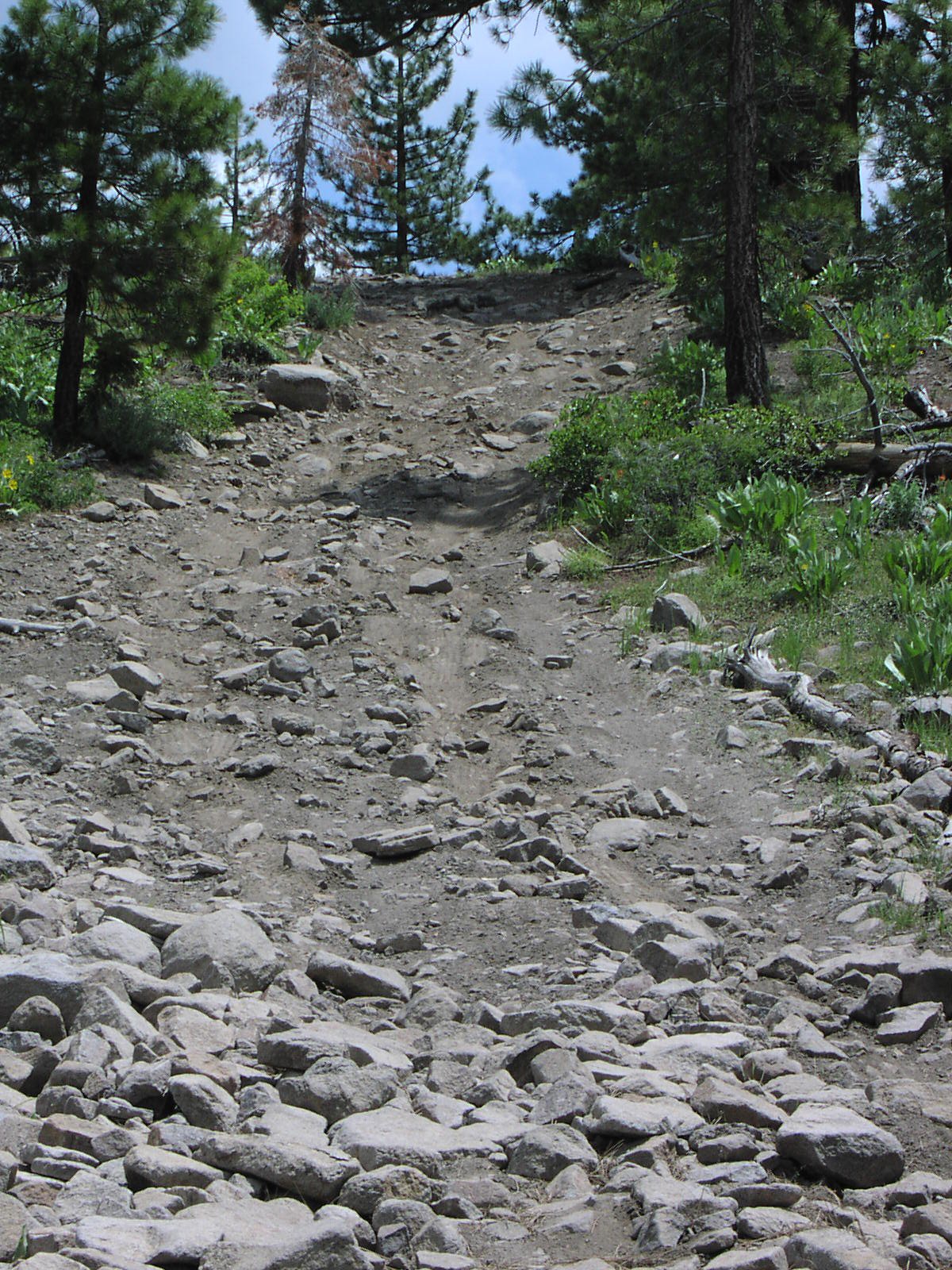
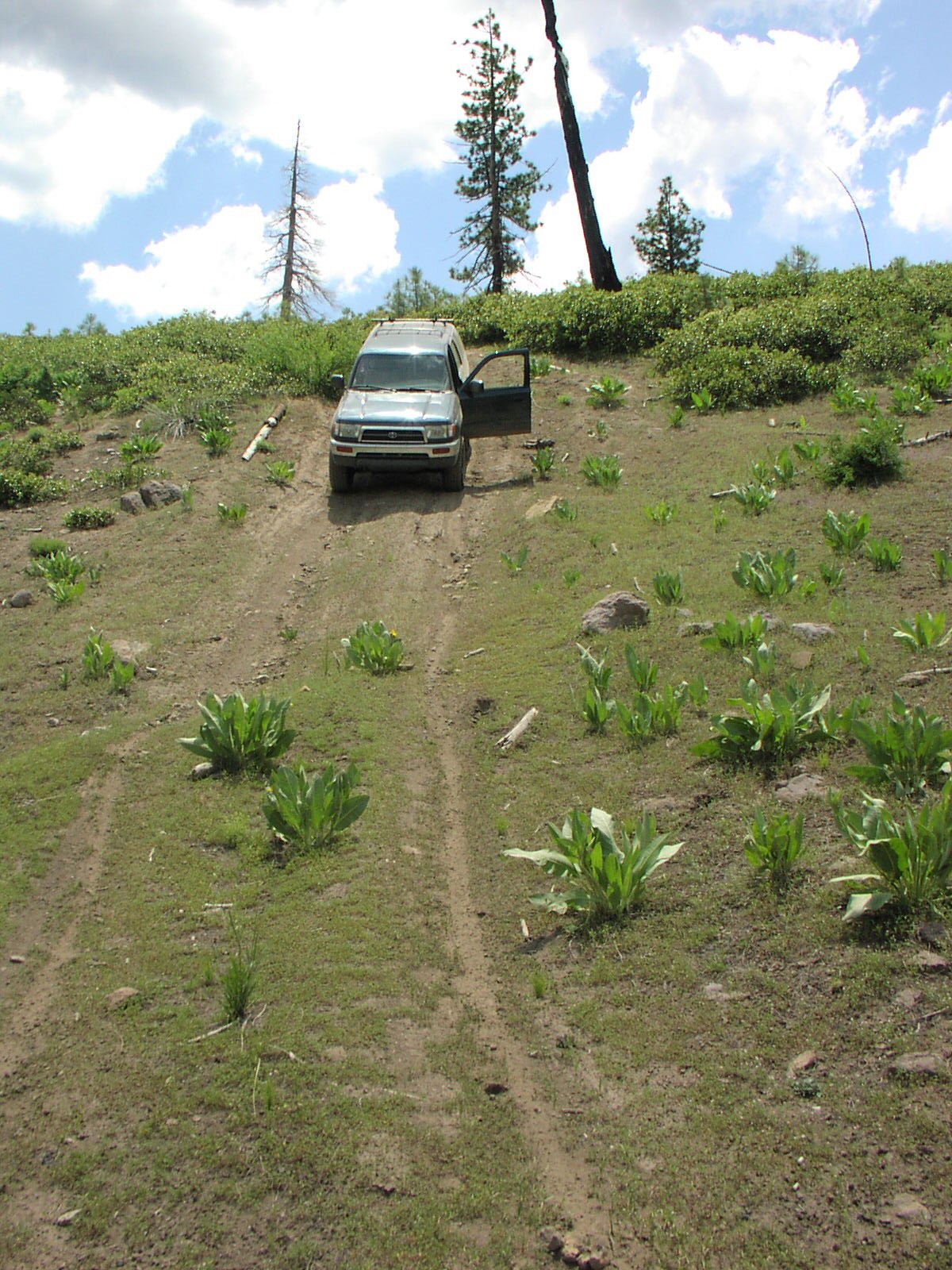
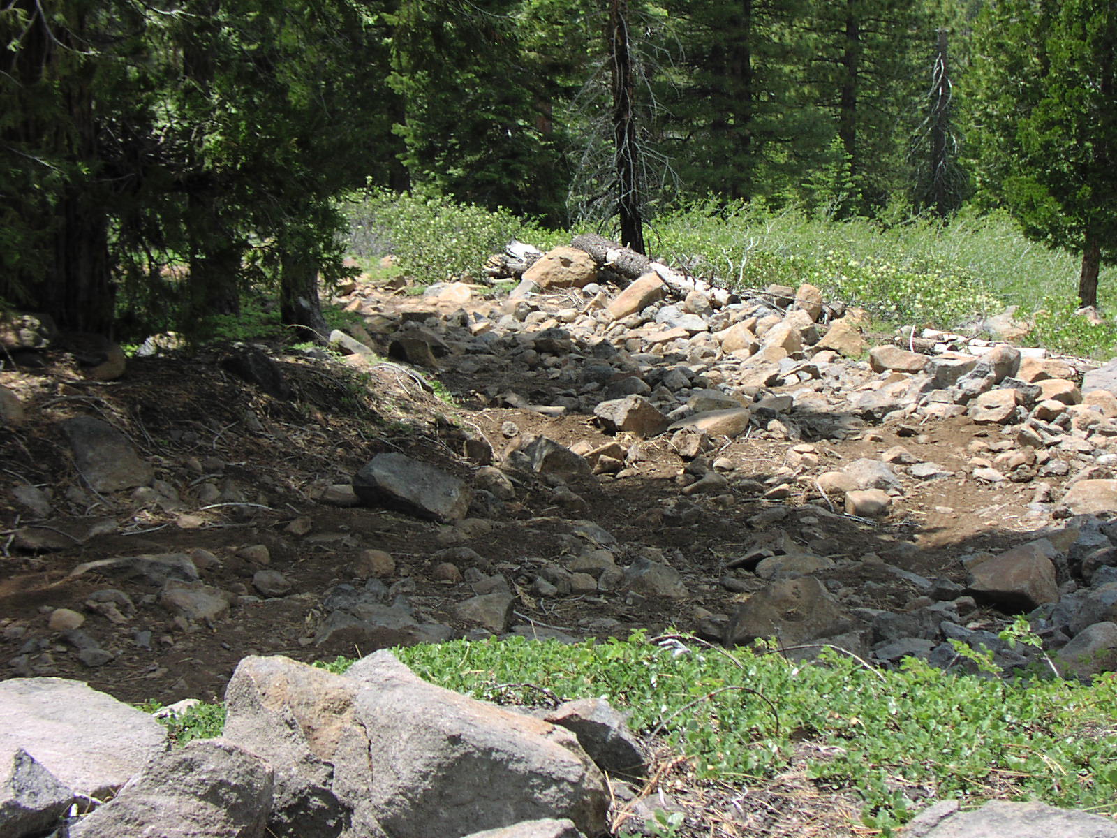
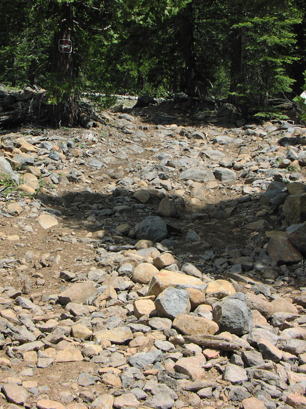
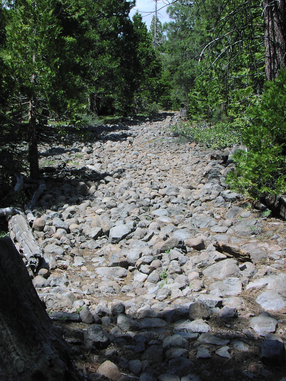
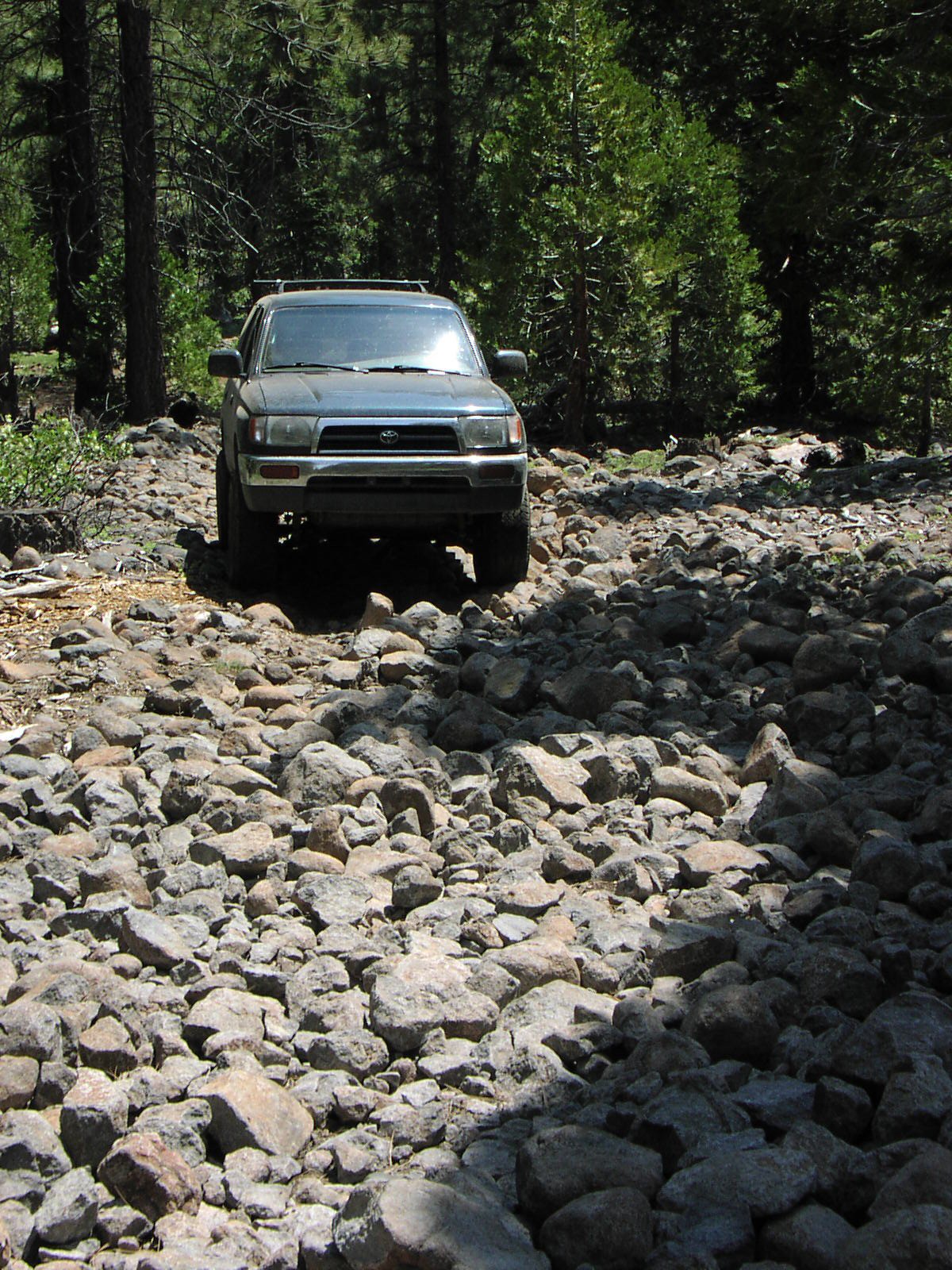
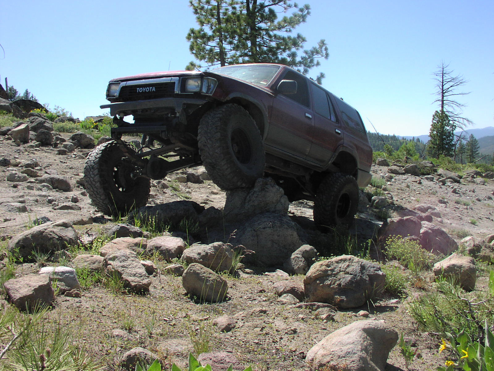
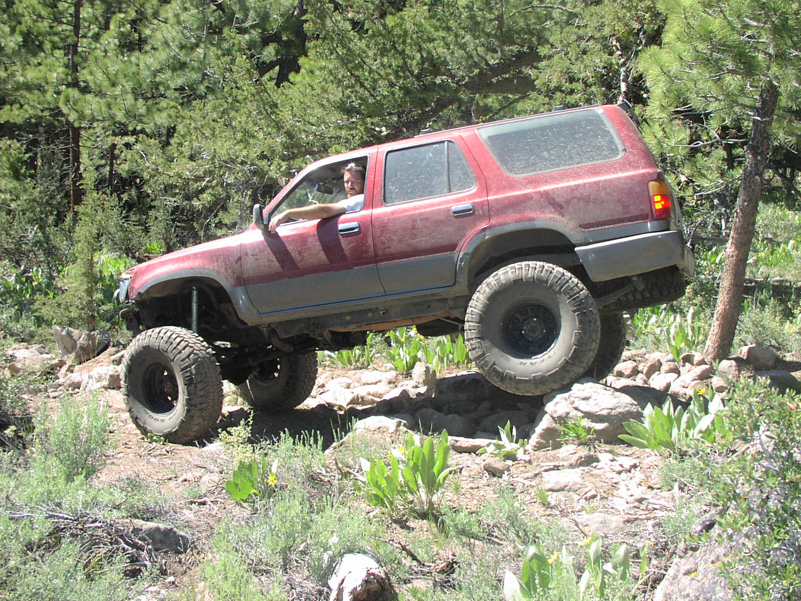
| Difficulty | Moderate [5] Stock 4WD should be able to run the trail. There are side routes that are Difficult [7]. |
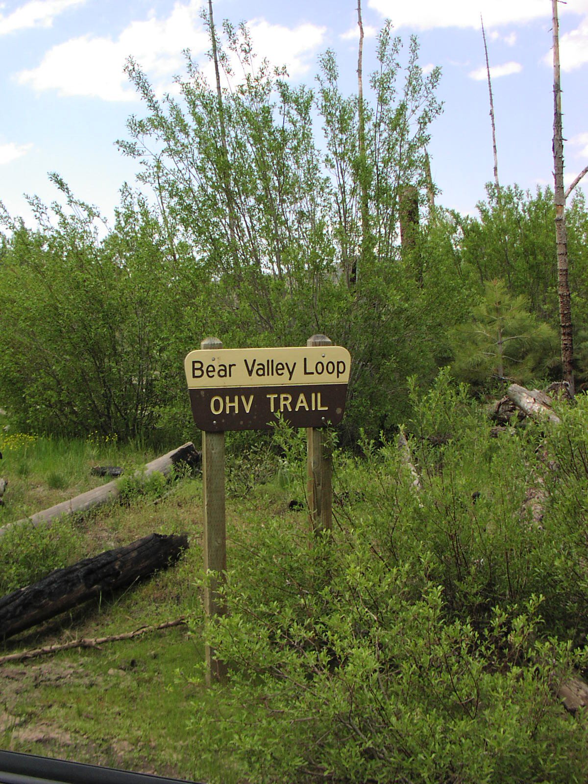
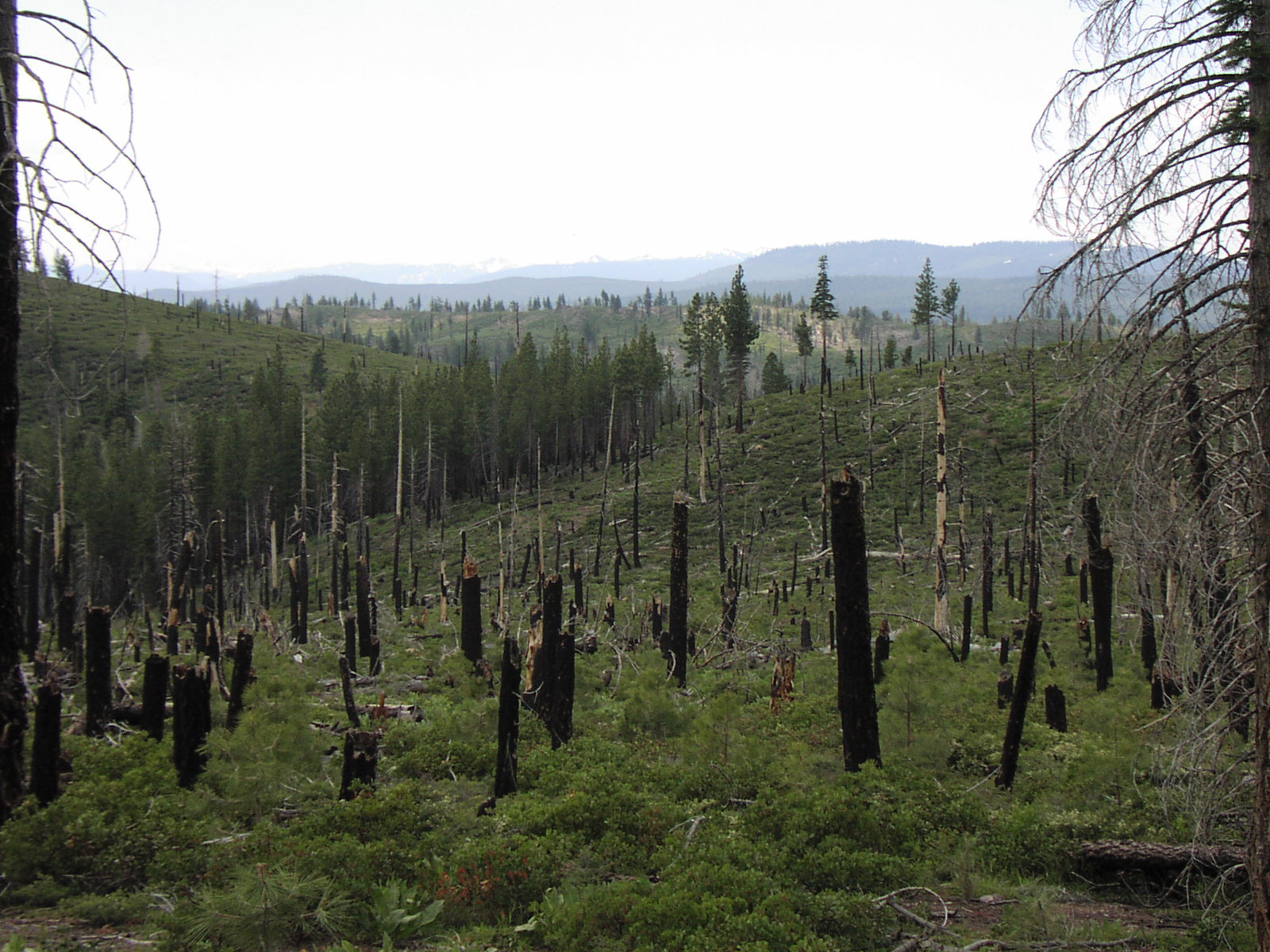
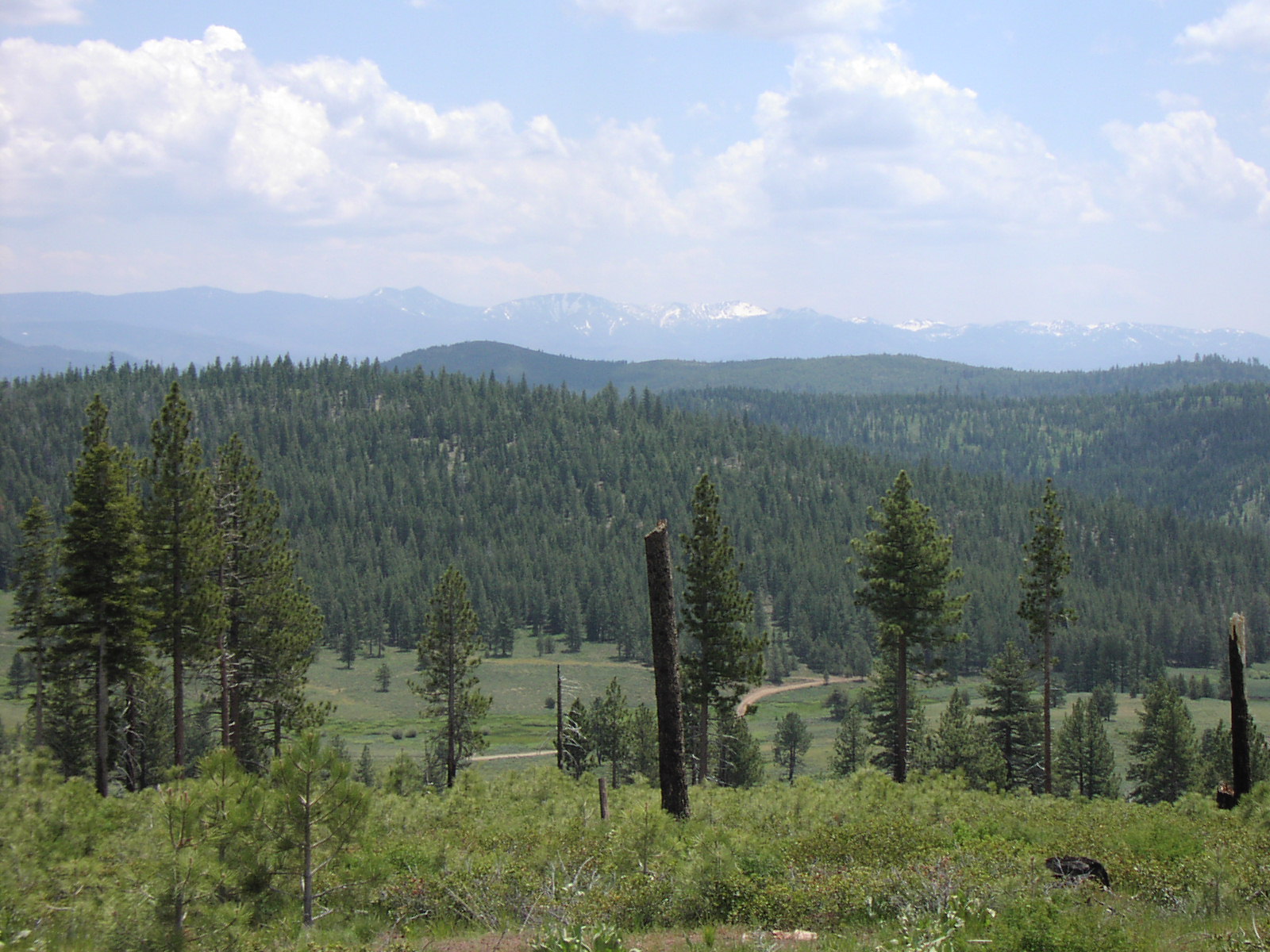
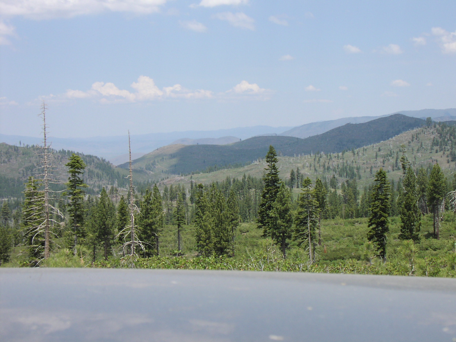
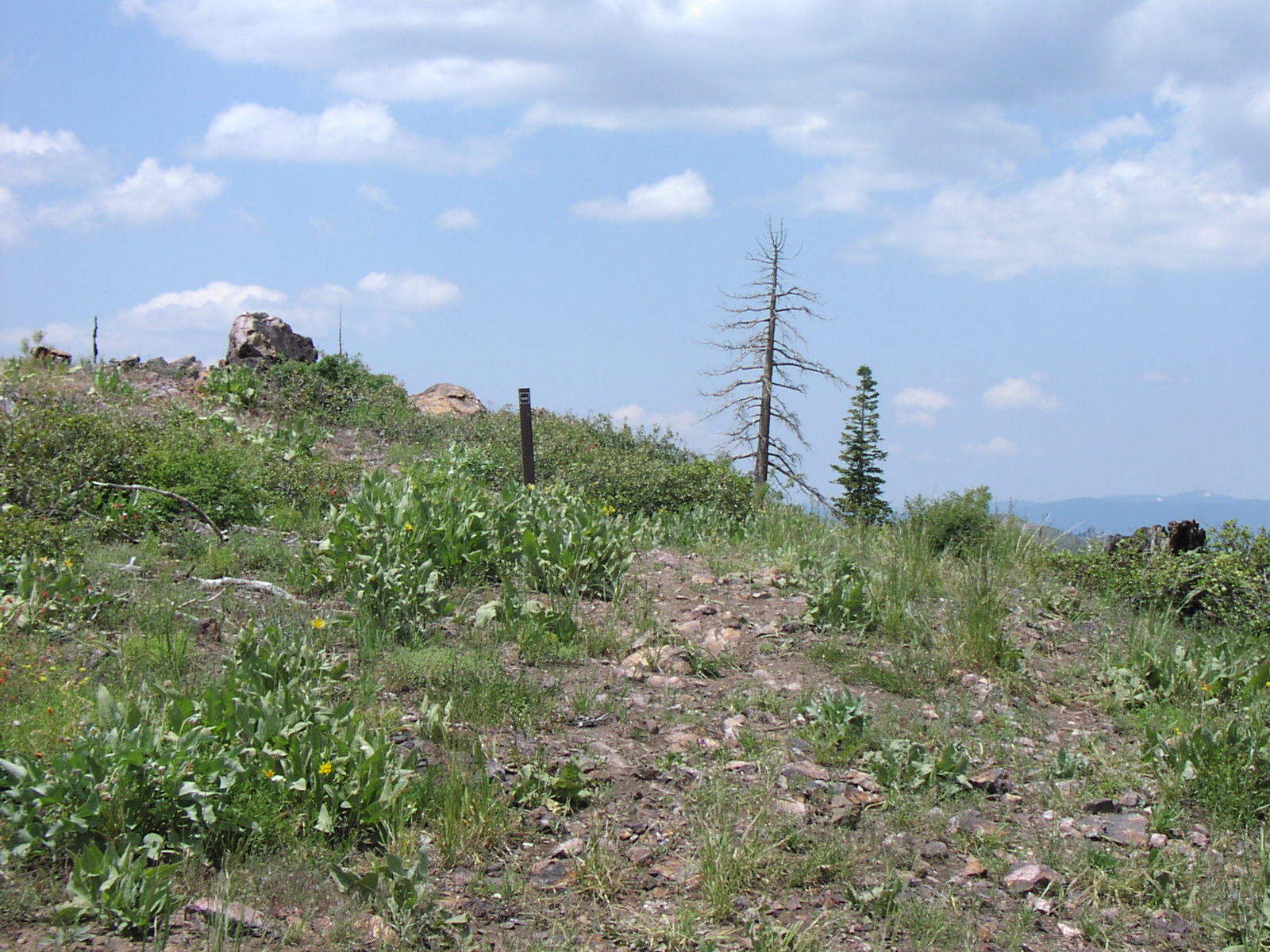
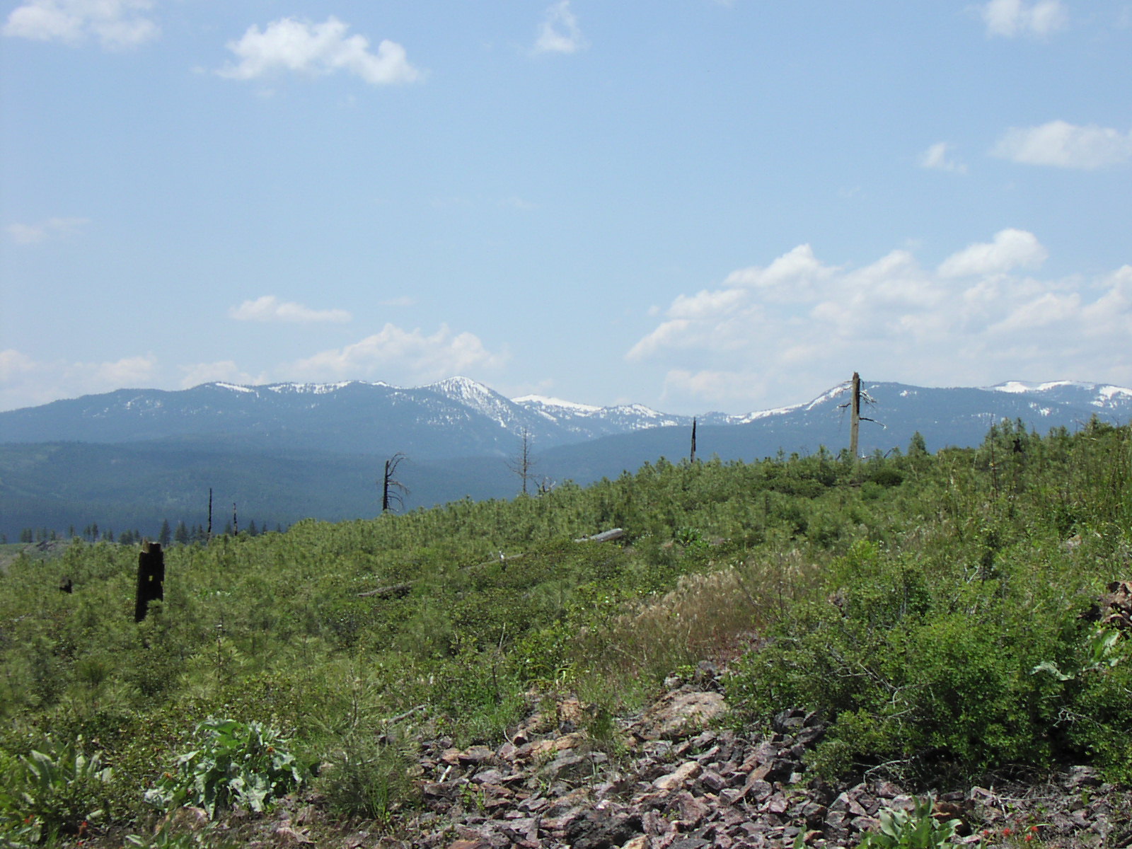
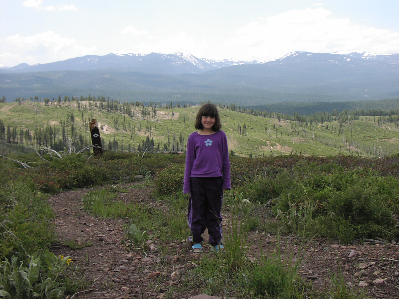
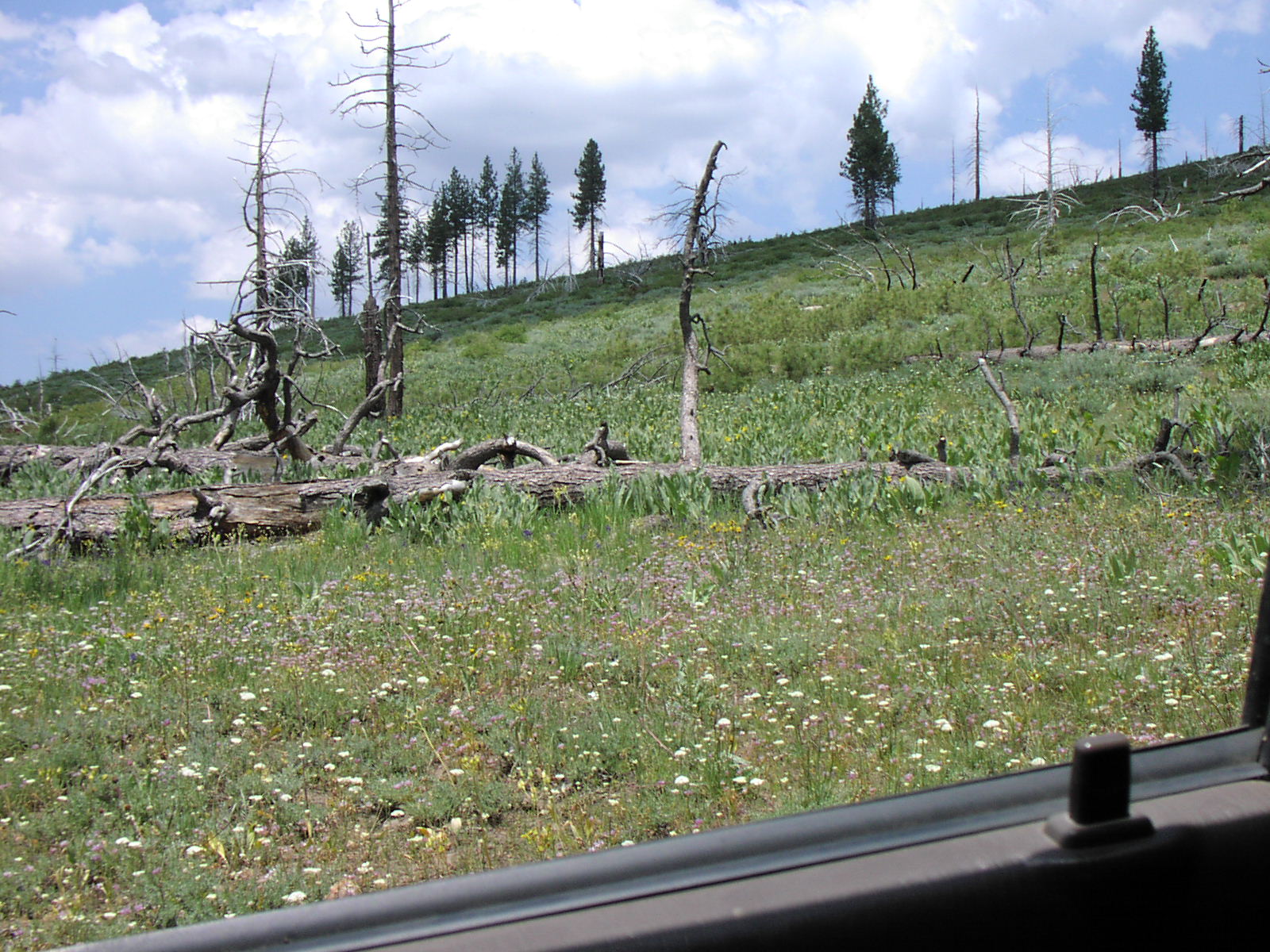
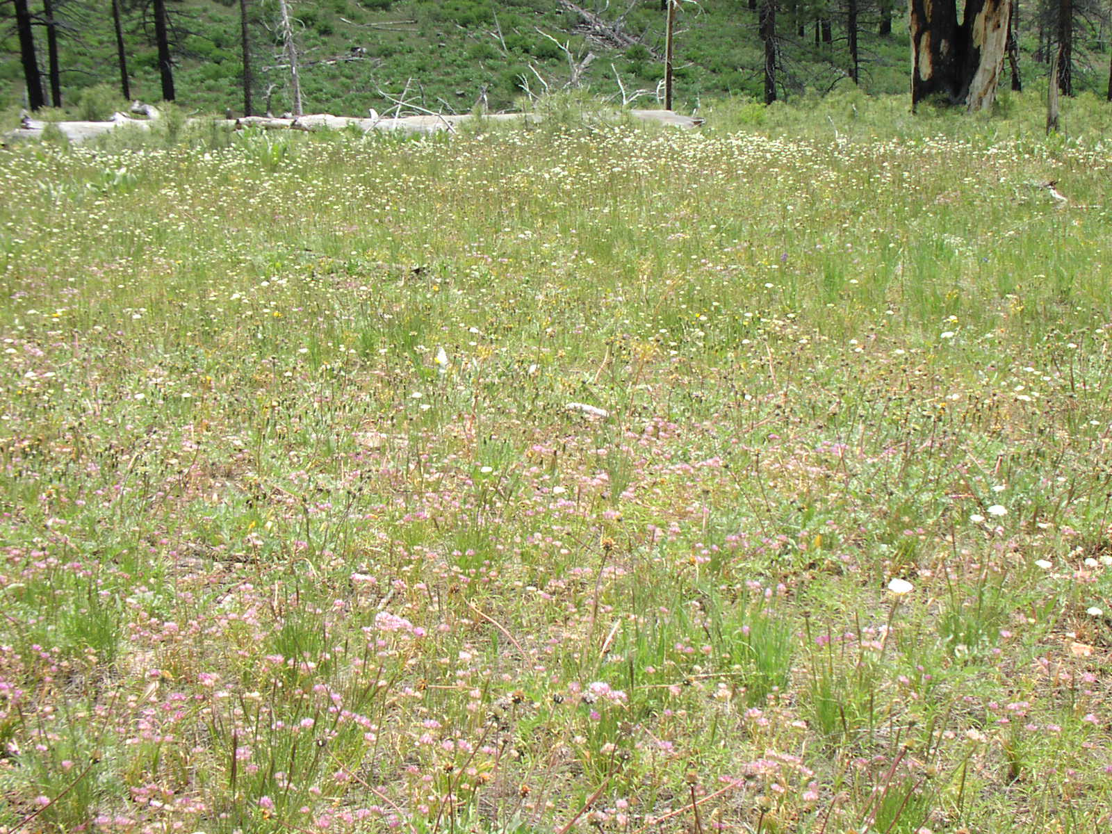
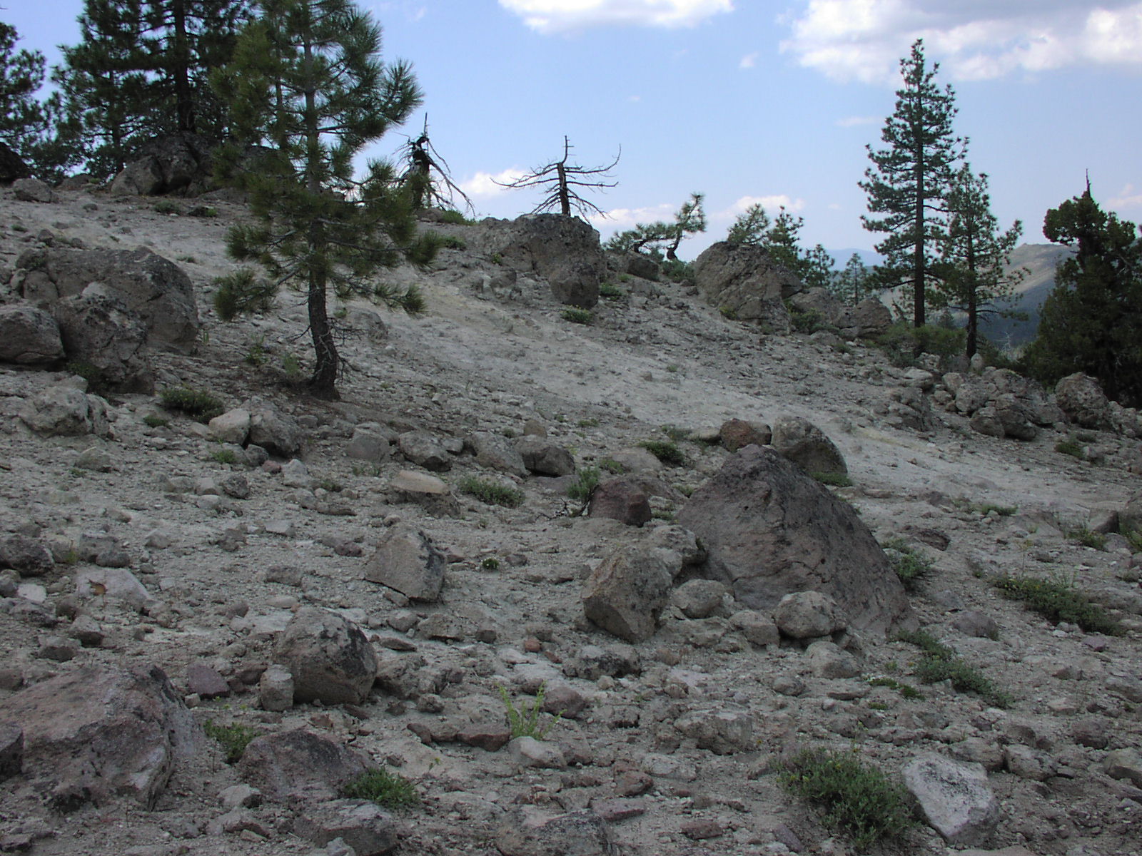
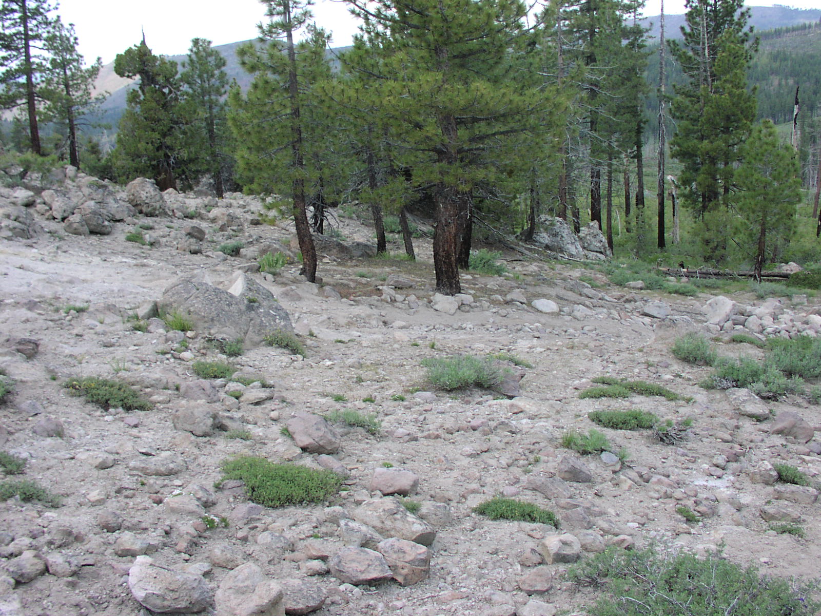
| Description | Nice long trail with great views and plenty of obstacles to keep you interested. |
| Location | Tahoe National Forest near Stampede Reservoir |
| Directions | Google Maps from Truckee. |
| Fishing | none |
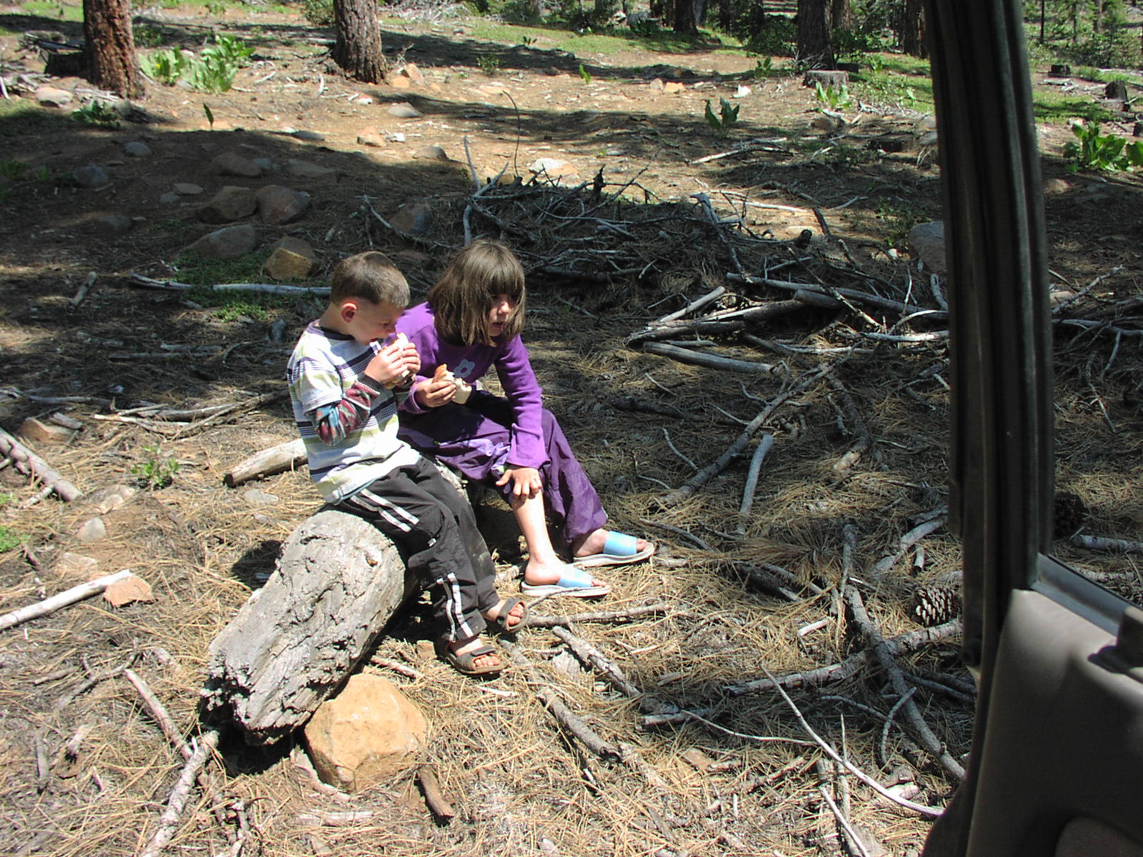
| Camping | Pick a spot if you really want to camp there it is all National Forest, just remember to tread lightly. |
| Elevation | 6600 - 7000 |
| Latitude | 39° 33' 24" N |
| Longitude | 120° 14' 13" W |
| Weather | National Weather Service |
| Map Index | C-9 (Tahoe National Forest) |
| Maps |
Small Map of Area Tahoe National Forest Map (9MB) |
| Adopted By | Diablo 4 Wheelers |
| Links |
NorCal TTORA - The Bear Valley Loop USDA Forest Service - Recreation Activities: Sierraville District |
View Larger Map


2008 


|