| Author | treknwil |
| Year | 2006, 2008 |
| Trail Open | The trail opens after the snow starts to melt, May or June(depending on snow fall for the year)and is open till there's to much snow. |
| Difficulty | Moderate |
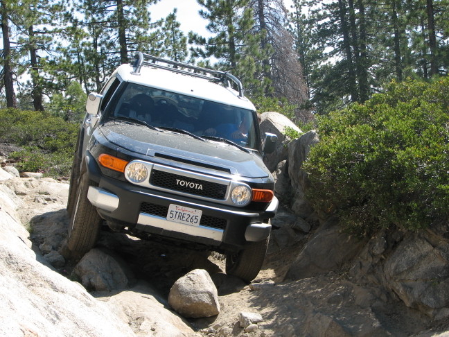
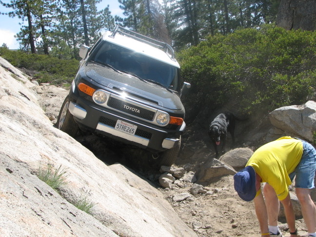
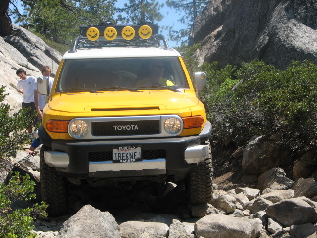
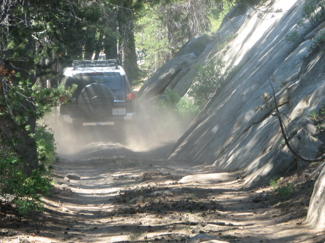
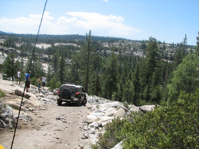
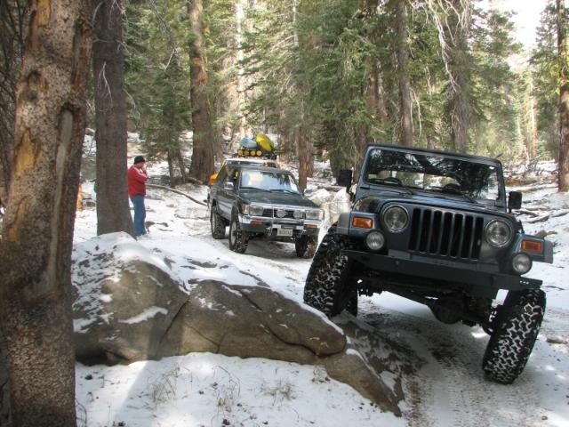
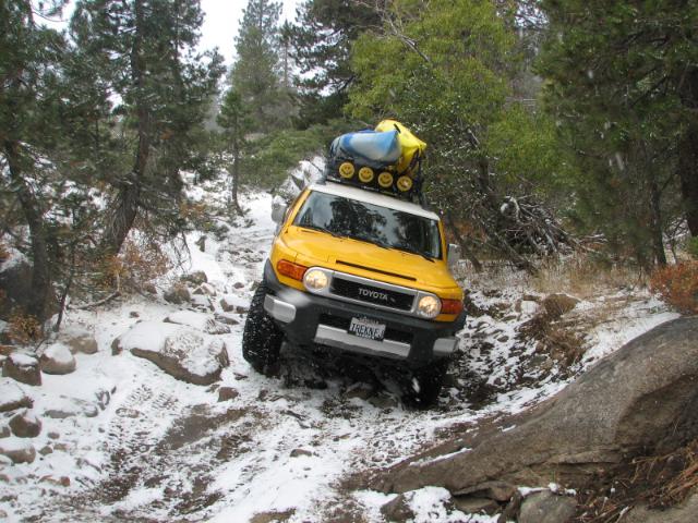
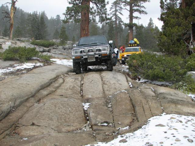
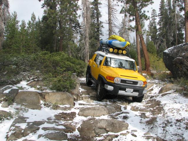
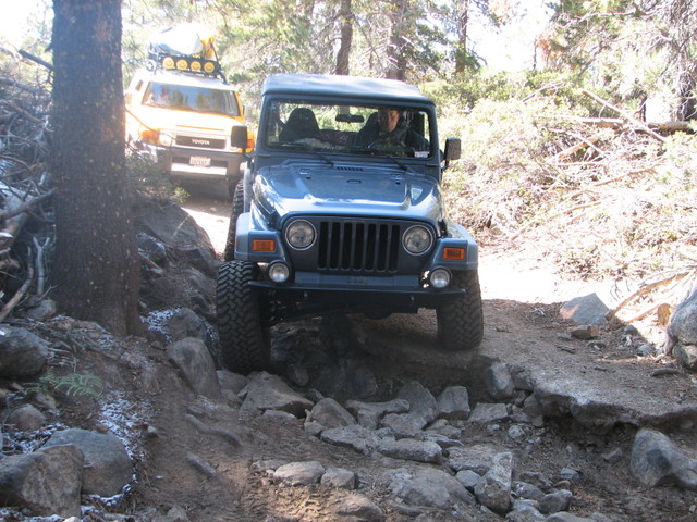
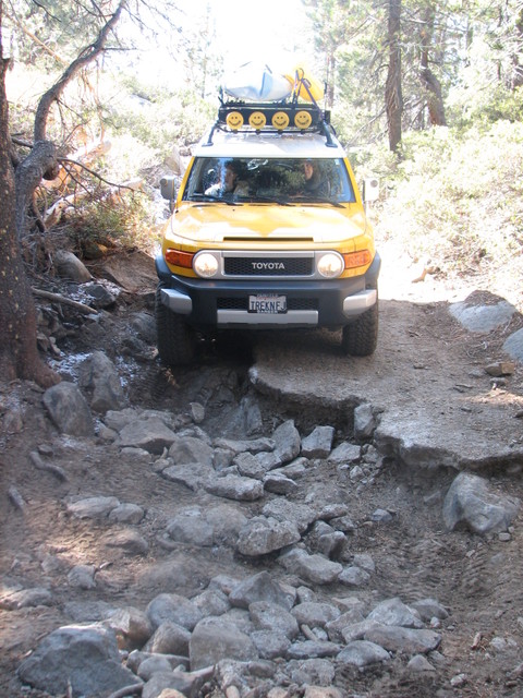
| Description | The Slickrock Trail starts pretty high(from highway 4 side) and descent all the way to the end with a short, but difficult climb out. Which lead to a paved road, but its much more fun to go back up the trail to the start. The weather at the top can be cold and there can be snow(depending on the time of year) a lot different than the bottom where it can be warm. It winds through dense trees and over large granite slabs on the way down. There is a lake at the end, Utica reservoir, and Lake Alpine is near the start(or top). The trail is not long but, has plenty of challenging spots. Many spots on the trail are very tight. Full sized vehicles are not recommended. There are also several excellent places to camp. |
| Location | Stanislaus National Forest, 7N17, South of Lake Alpine. |
| Fishing | Yes |
| Camping | Yes |
| Elevation | 7000 - 7450 |
| Latitude | 38° 28' 16" N |
| Longitude | 120° 0' 30" W |
| Map Index | B-5 (Stanislaus National Forest) |
| Maps |
Small Map of Area Stanislaus National Forest Map (6.3MB) |
| Weather | National Weather Service |
View Larger Map





|