| Author | Ryan (cachief) (e-mail) |
| Year | Spring 2010 |
| Trail Open | Dry weather |
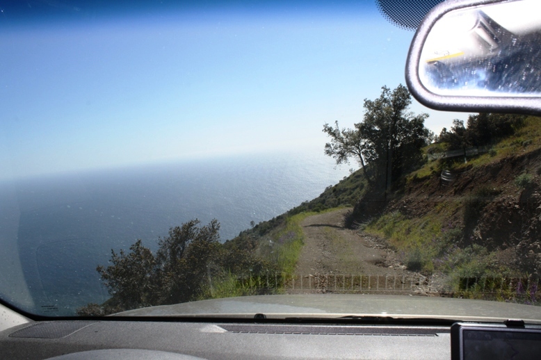
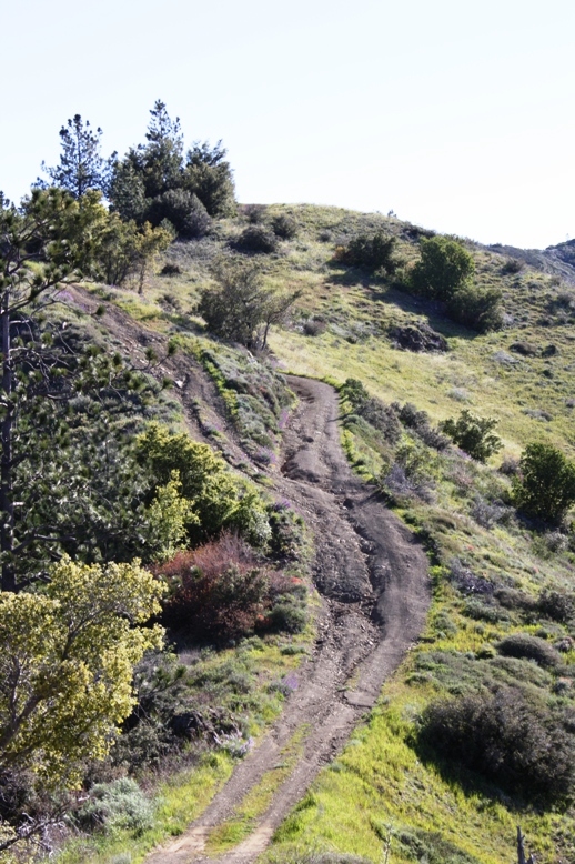
| Difficulty | Easy [3] The road as a whole is rated easy. The trail to San Martin was washed out in sections but those with 4WD should have no problem negotiating the ruts. |
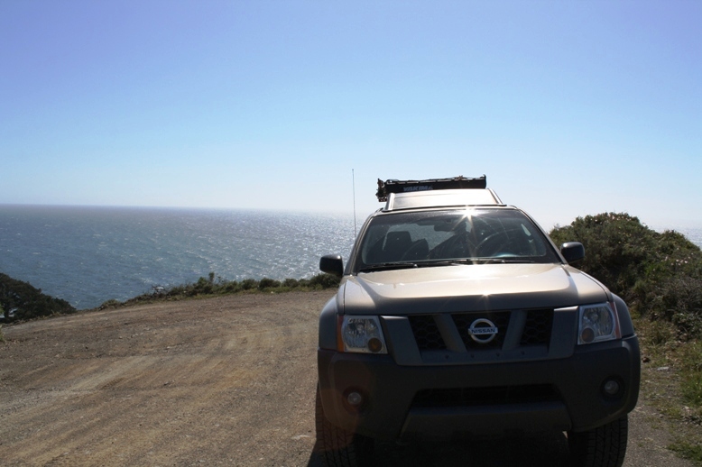
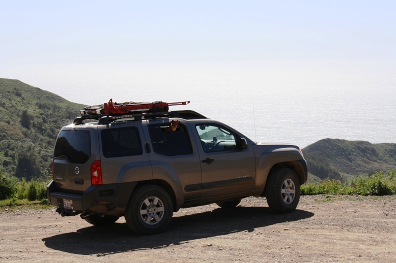
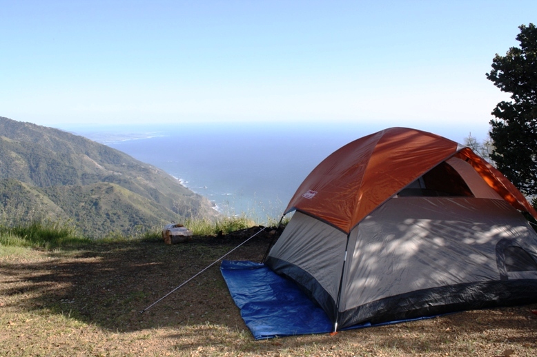
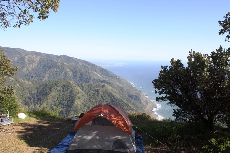
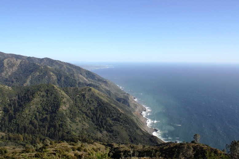
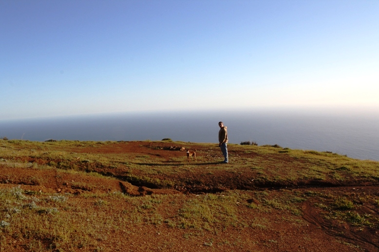
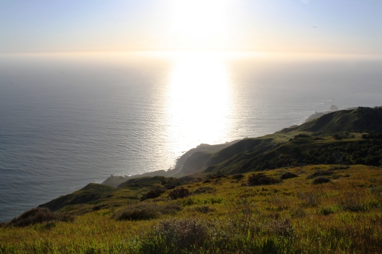
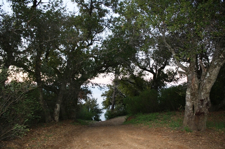
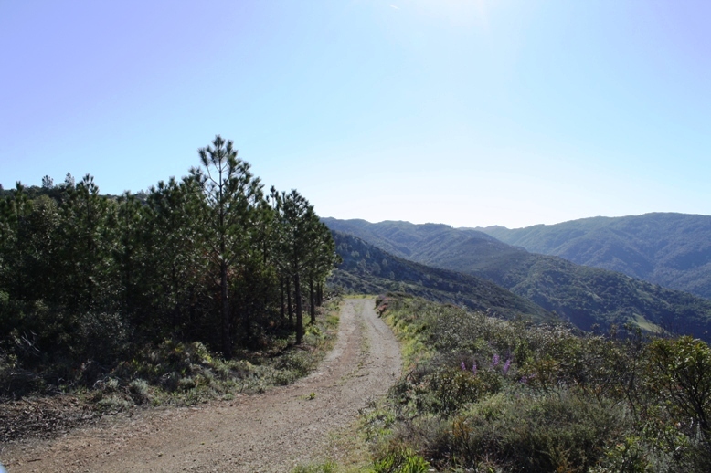
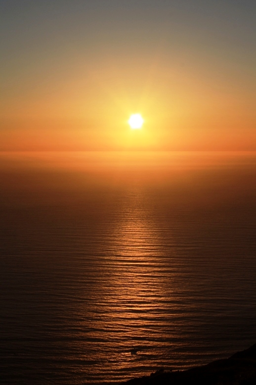
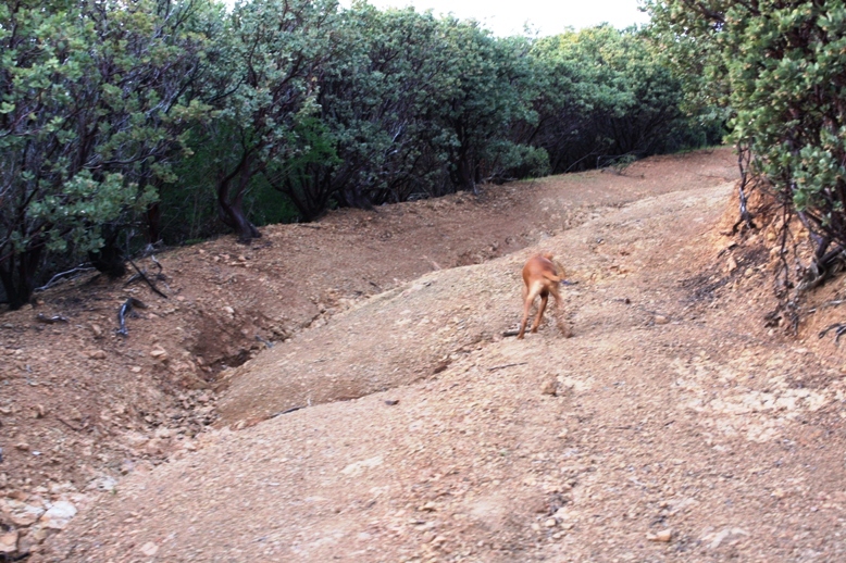
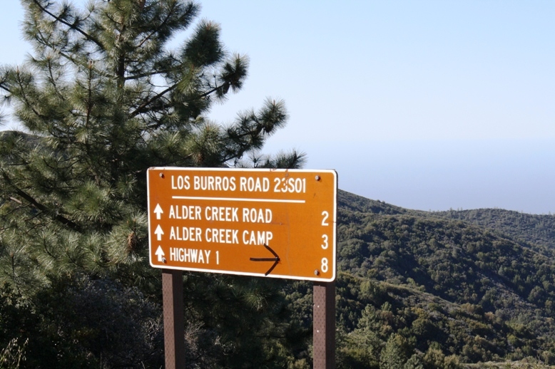
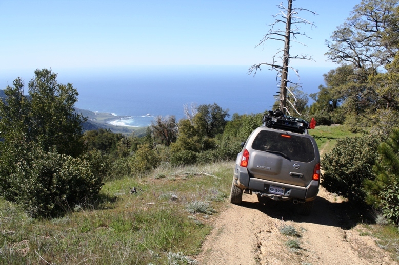
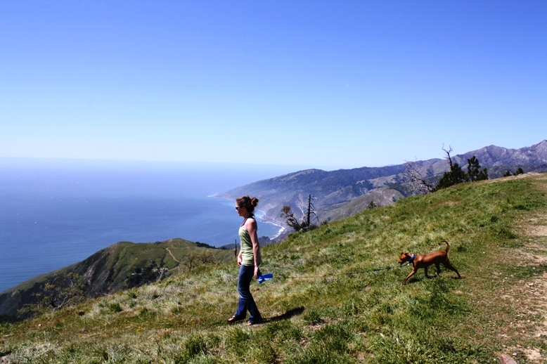
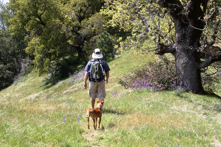
| Description | Big Sur is one of the most unique destinations on the west coast, and there is no better way to view the rugged mountainous terrain meeting the Pacific than on this 4WD adventure. I took Los Burros Road(sometimes called Willow Creek Road) off of Highway 1 to start the trip off. From there, I went to San Martin Lookout. There are a few campsites at the top and this lookout providing unparalleled views of Highway 1 and the pacific. I setup camp overlooking the area and spent two nights there. I decided to head back and continue along Los Burros Road which turned into South Coast Ridge Road. There is limited camping along this route but provides nice scenery into the surrounding mountains with sporadic views of the Pacific. This road leads to Prewitt Ridge Campground. Many sites at Prewitt Ridge have tables but the campground is primitive and dry. There are some nice hiking opportunities around the area. |
| Location | Los Padres National Forest, Los Burros Burros Road/Willow Creek Road, Big Sur, CA |
| Directions | Google Maps From Monterey |
| Fishing | No fishing, unless you head down towards the ocean. These trails head east from Highway 1, they do not intersect the highway to take you to the ocean. |
| Camping | Yes. About 10 sites at San Martin Lookout and about 15 at Prewitt Ridge. Limited camping along South Coast Ridge Road. Los Padres National Forest does require an "adventure pass" to camp. However, the Monterrey Ranger District does not require this pass, which makes the camping free. |
| Elevation | 370 - 3500 |
| Latitude | 35° 53' 8" N |
| Longitude | 121° 27' 31" W |
| Weather | National Weather Service |
| Map Index | E-5 (Los Padres National Forest) |
| Maps |
Small Map of Area Los Padres National Forest Map (North) (2.9MB) |
View Larger Map


|