| Author | whokrz |
| Year | 2006, 2009 |
| Trail Open | All Year |
| Difficulty | Moderate [4] to Difficult [9] |
| Description |
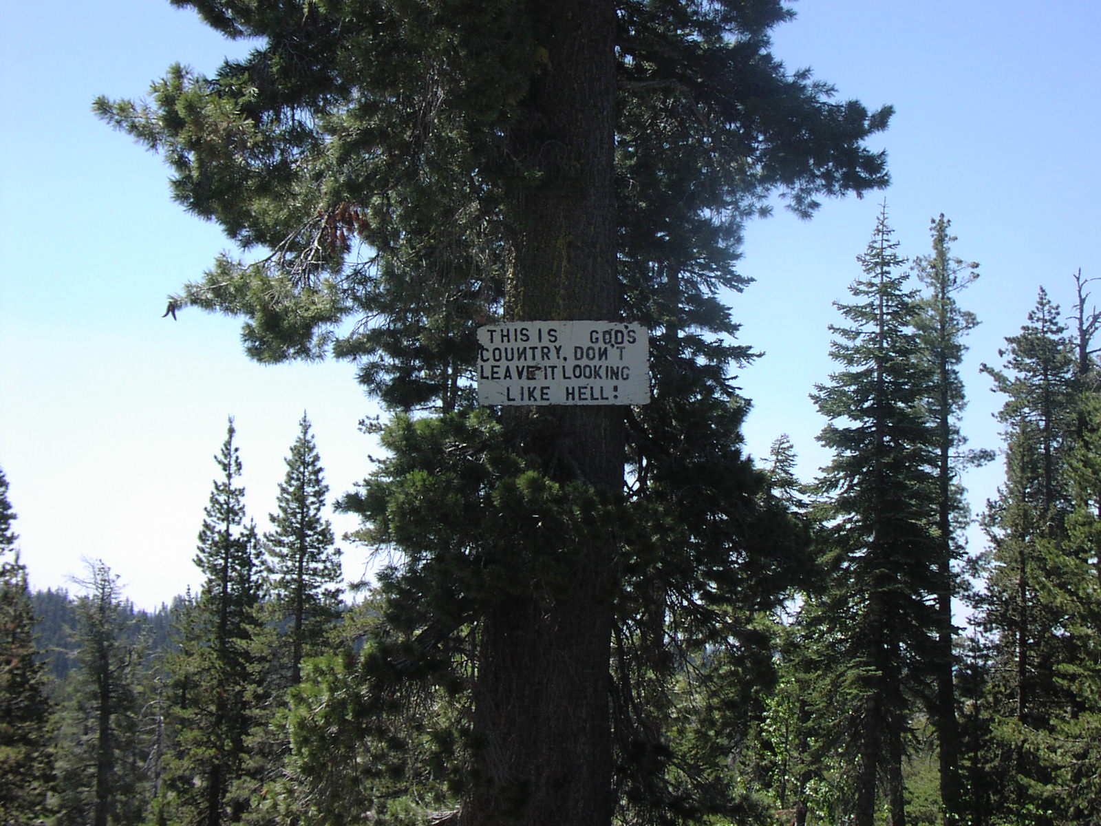
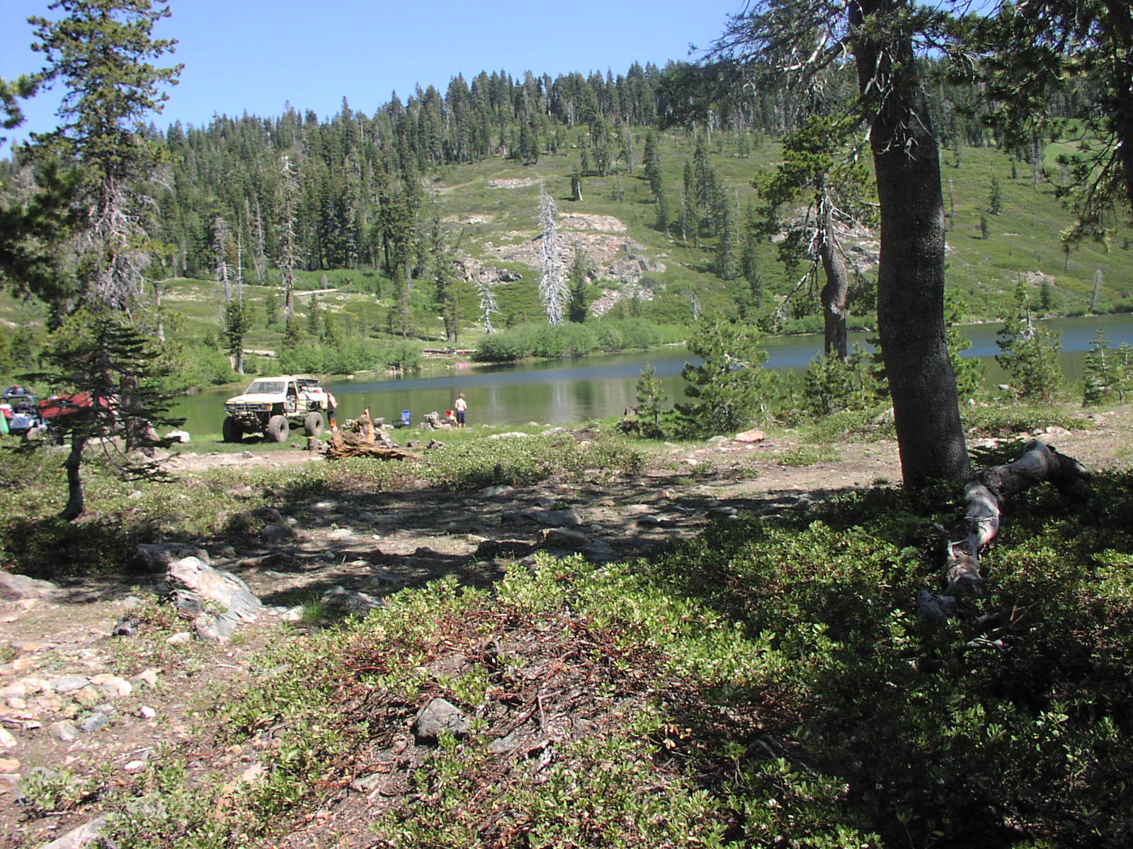
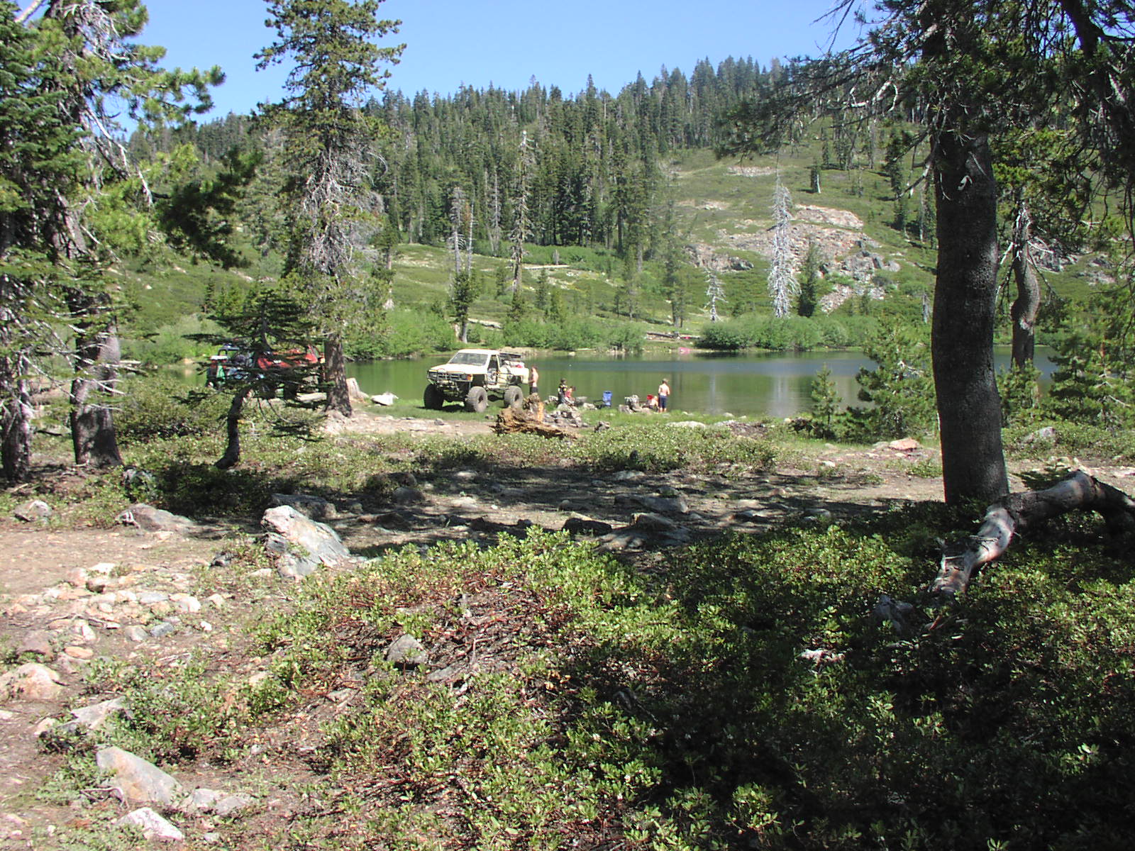
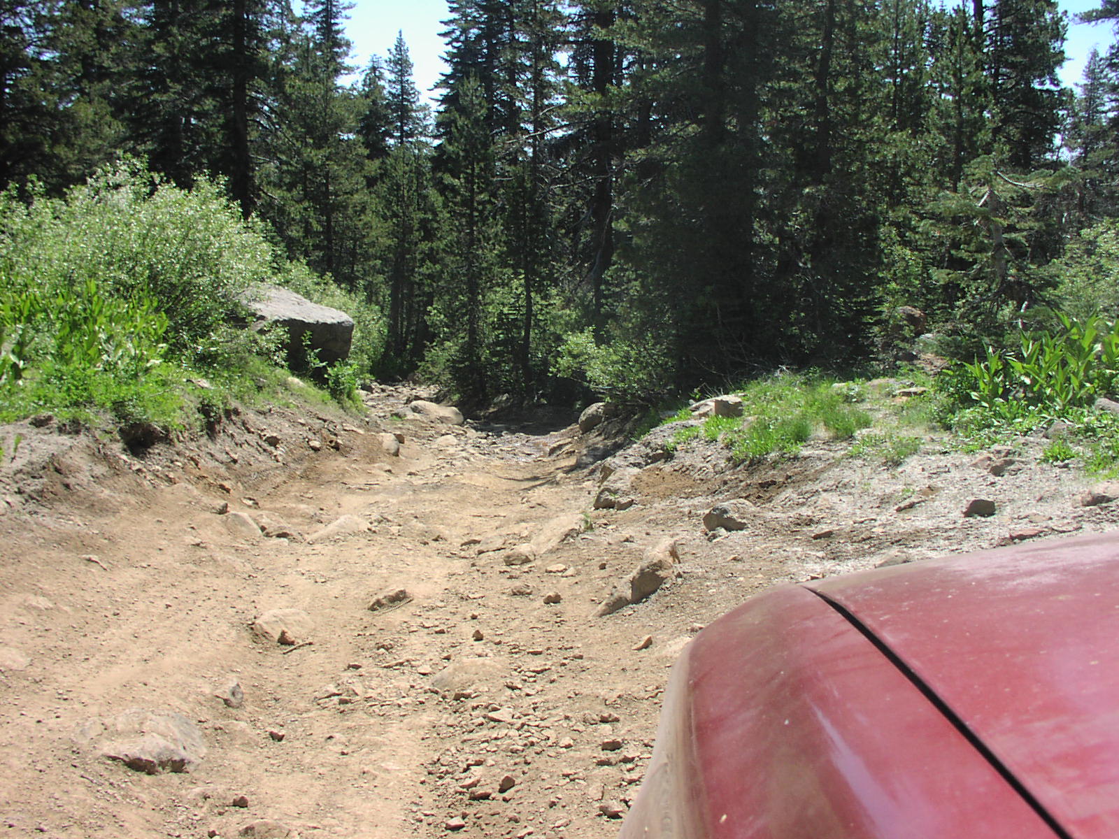
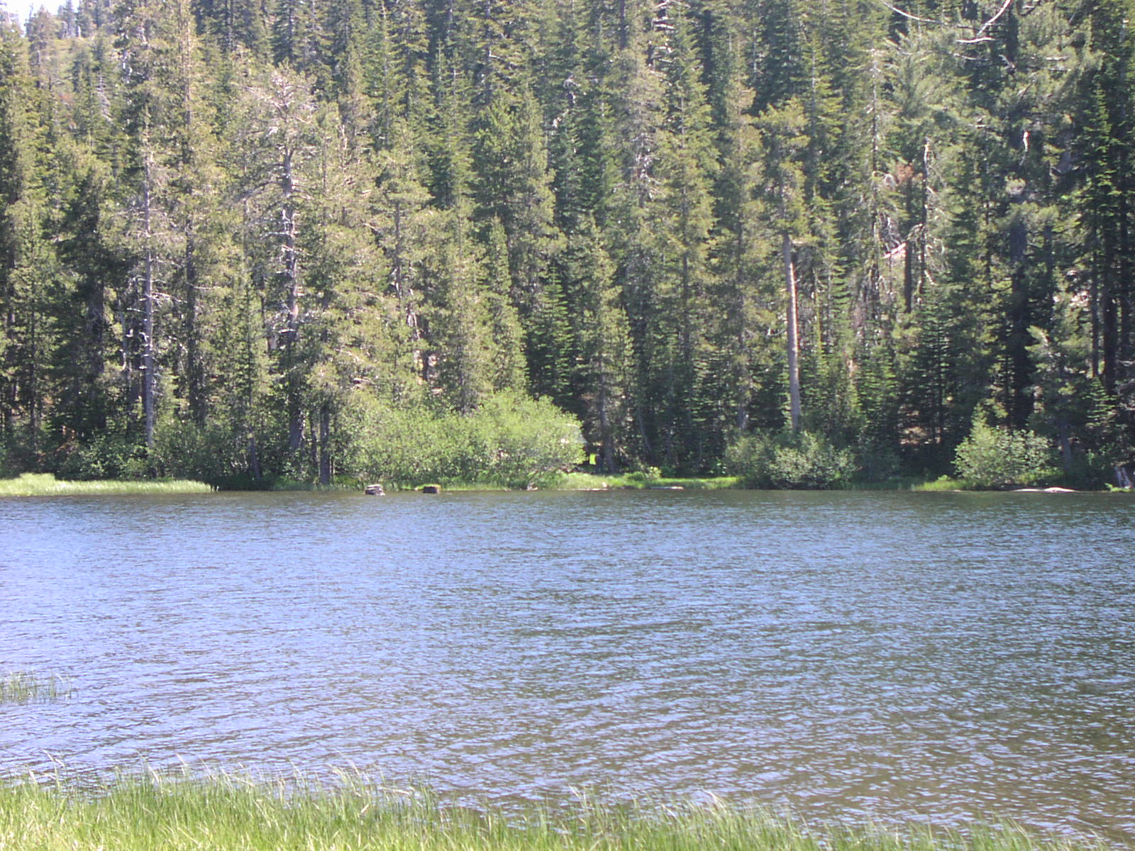
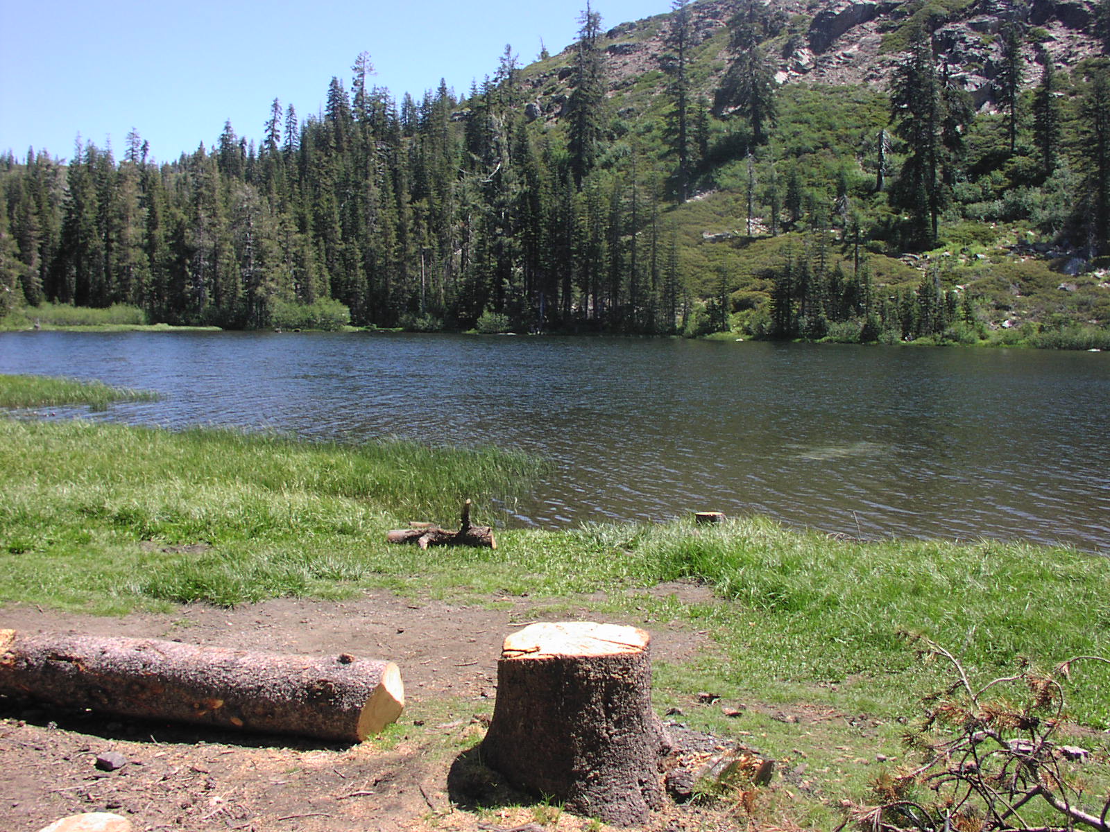
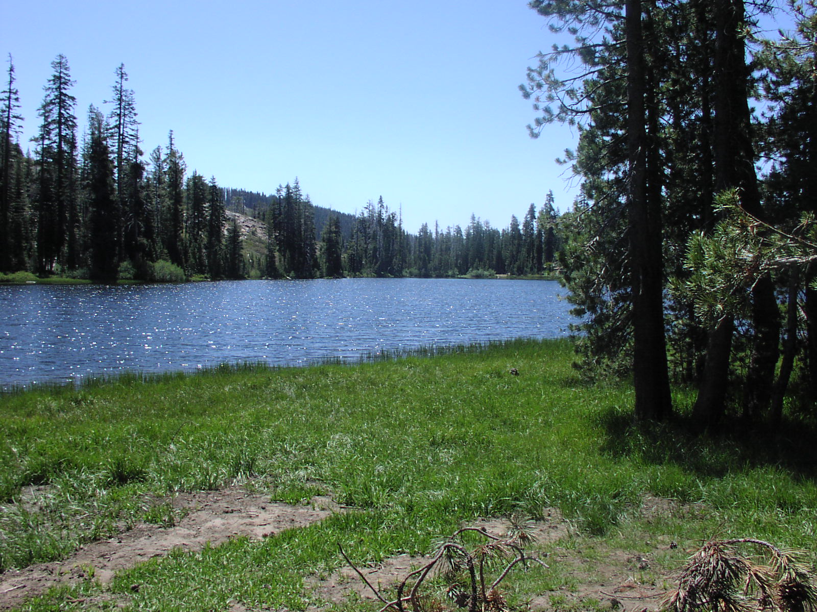
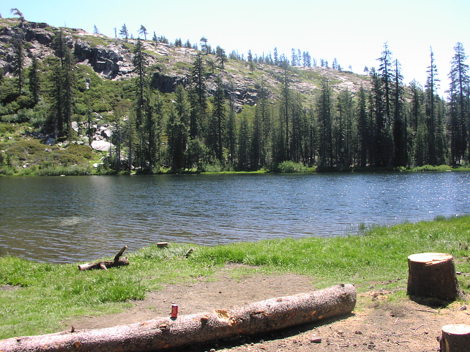
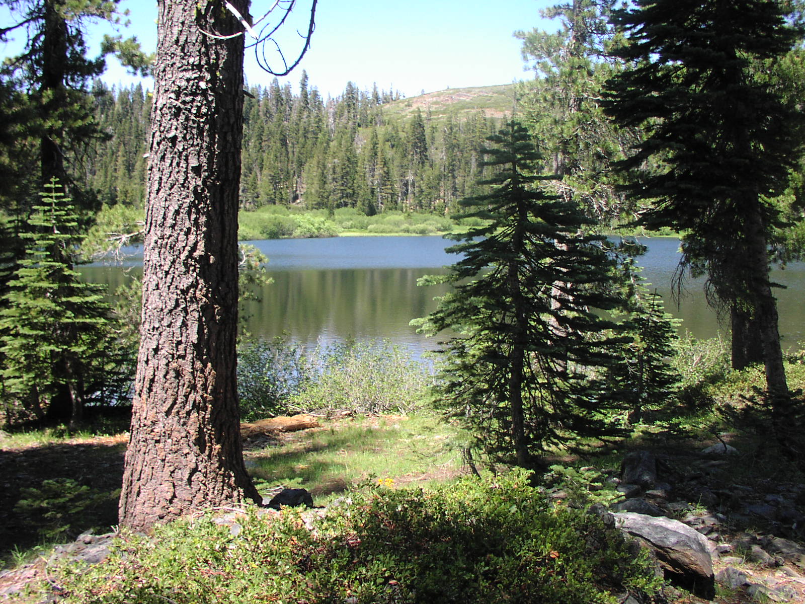
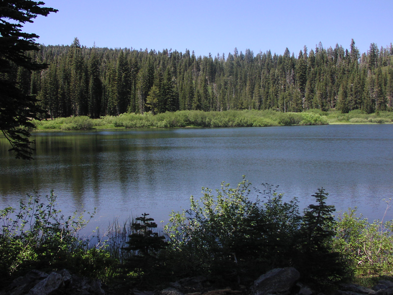
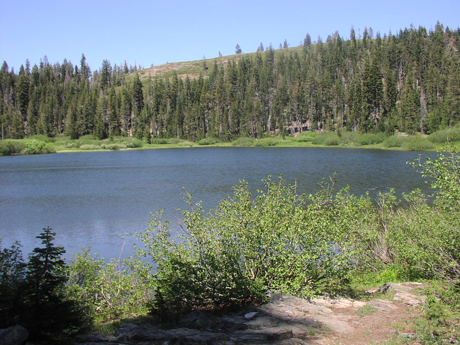
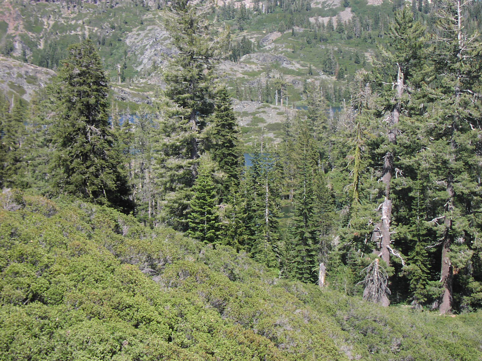
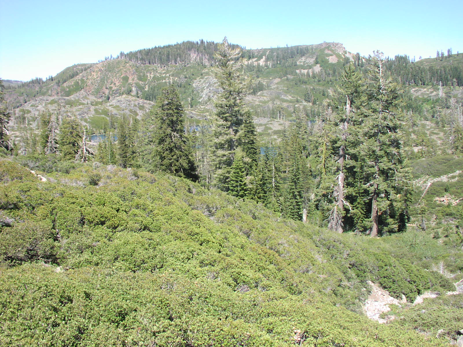
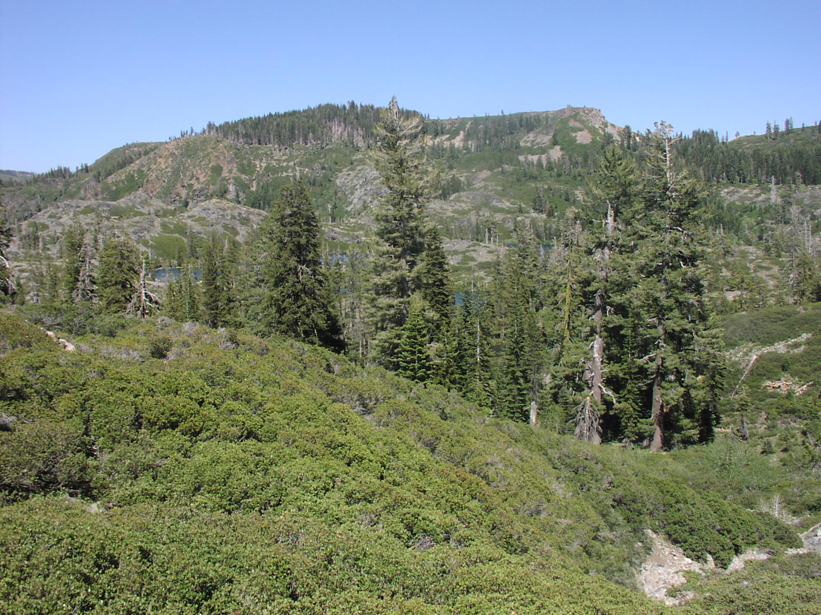
There are lots of trails and lakes in the area.
It is pretty easy all the way to Spring Valley Lake.
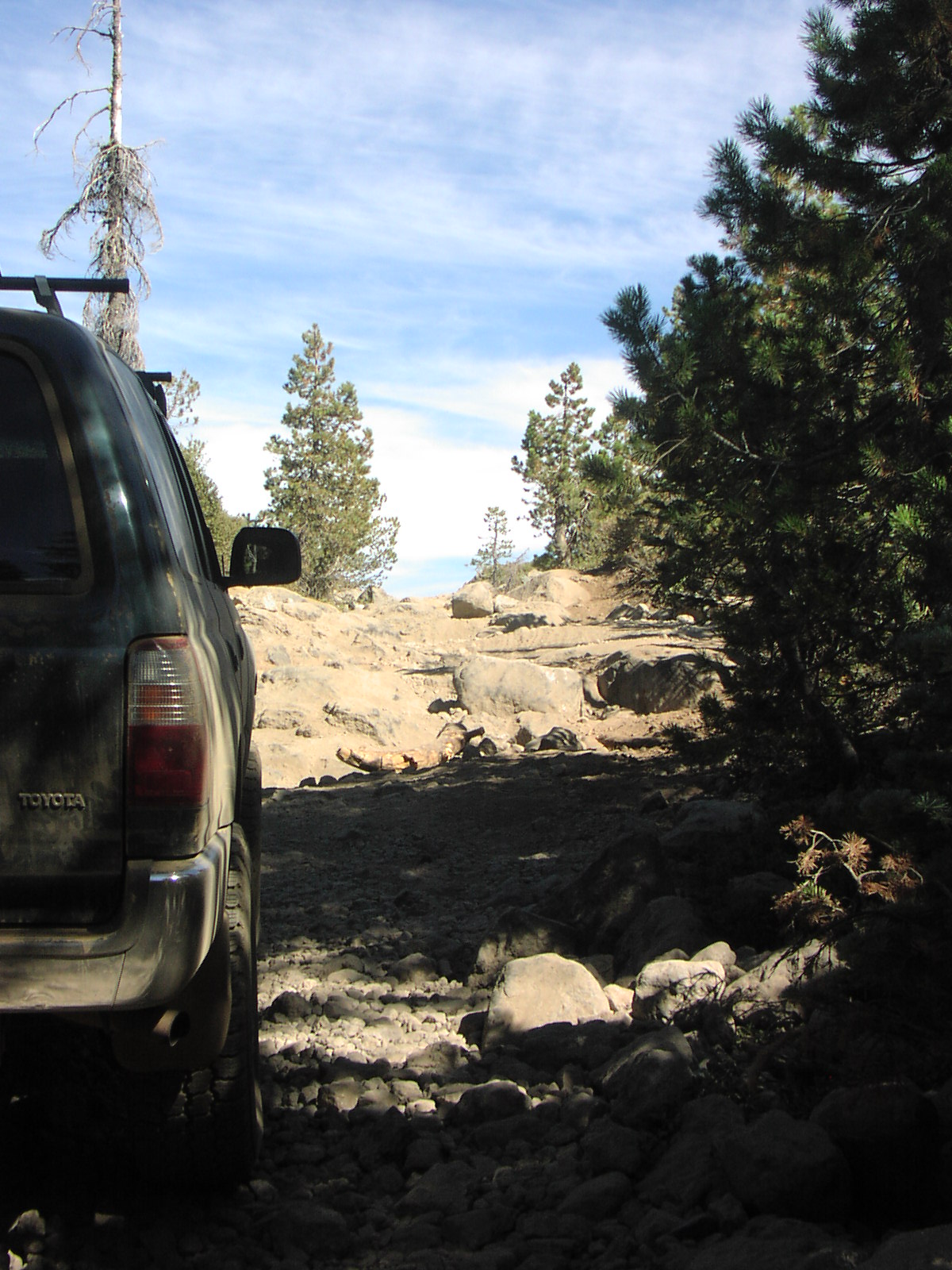
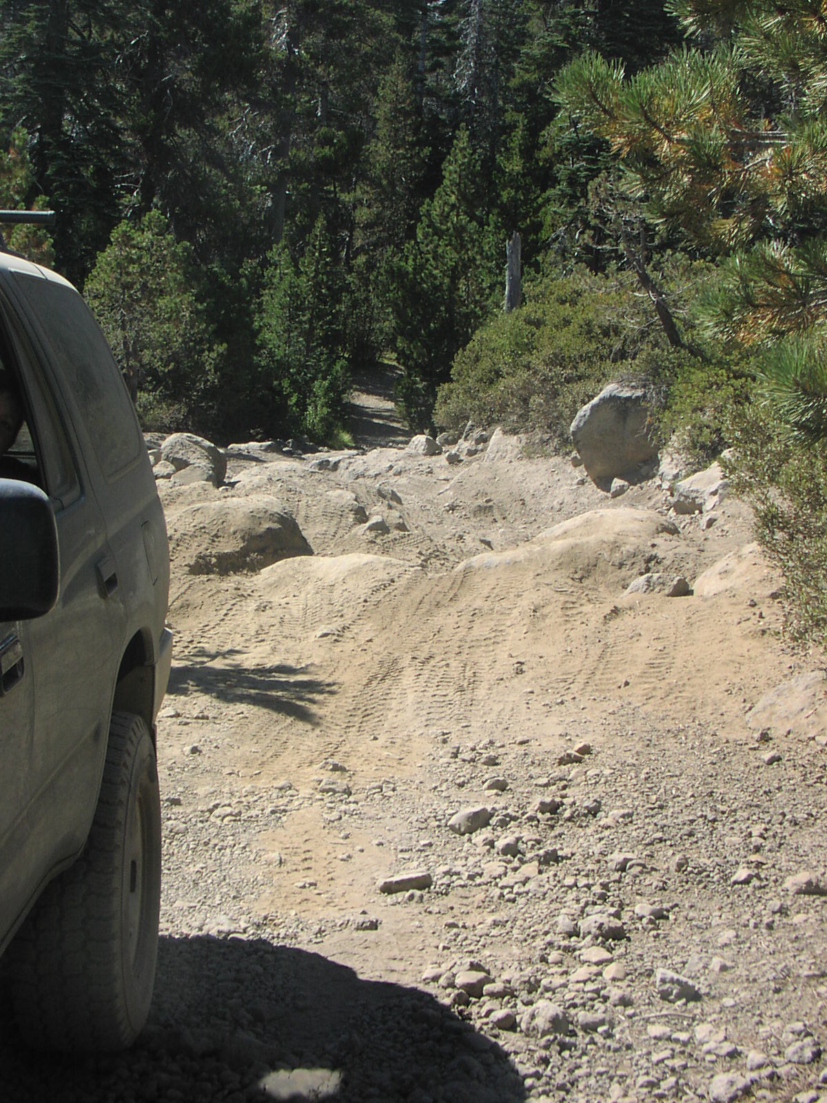
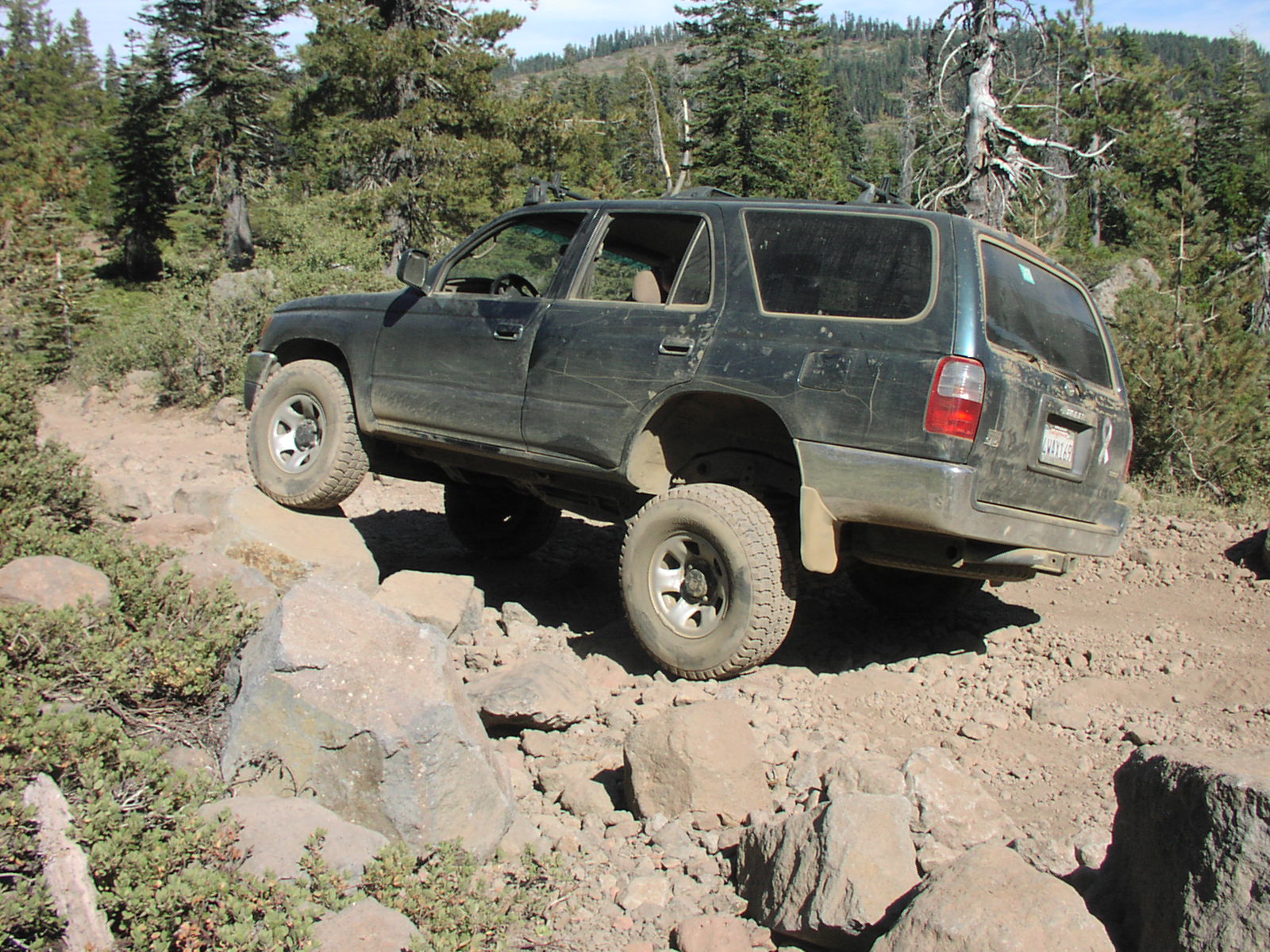
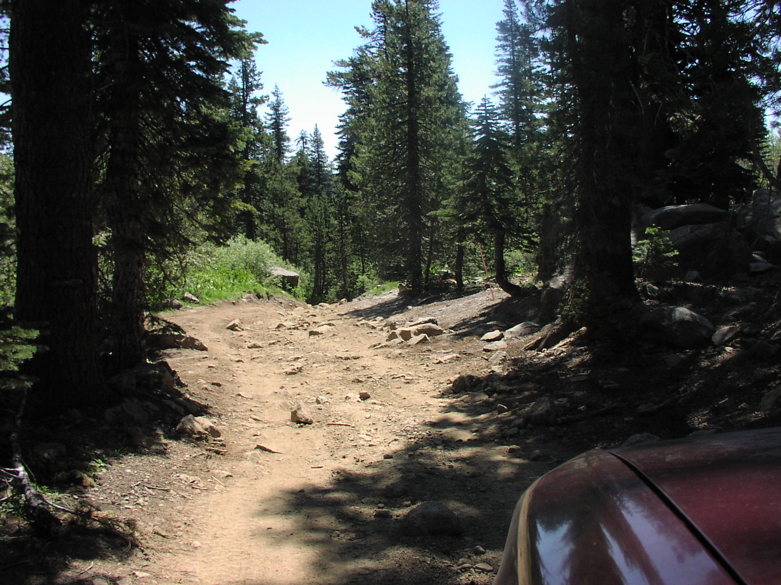
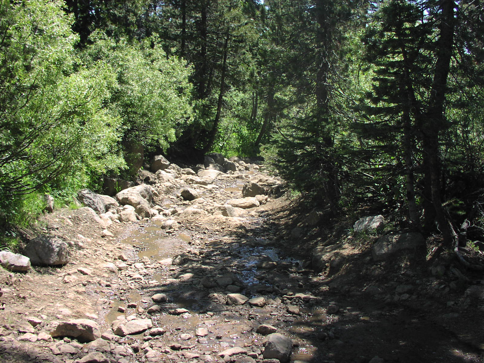
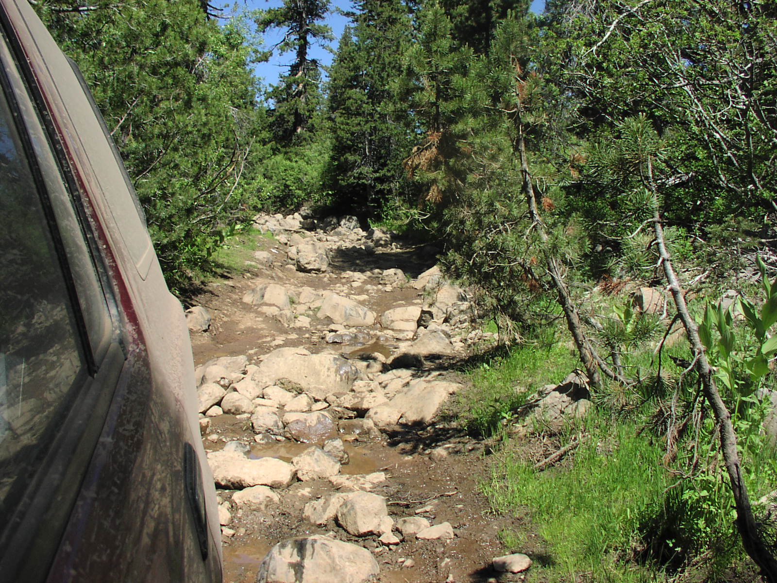
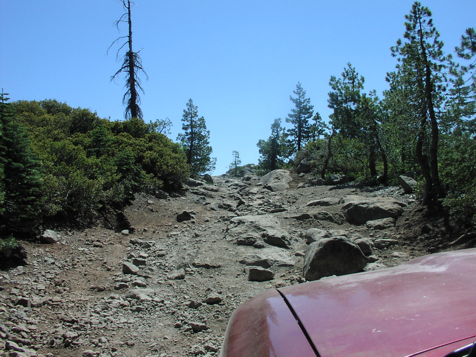
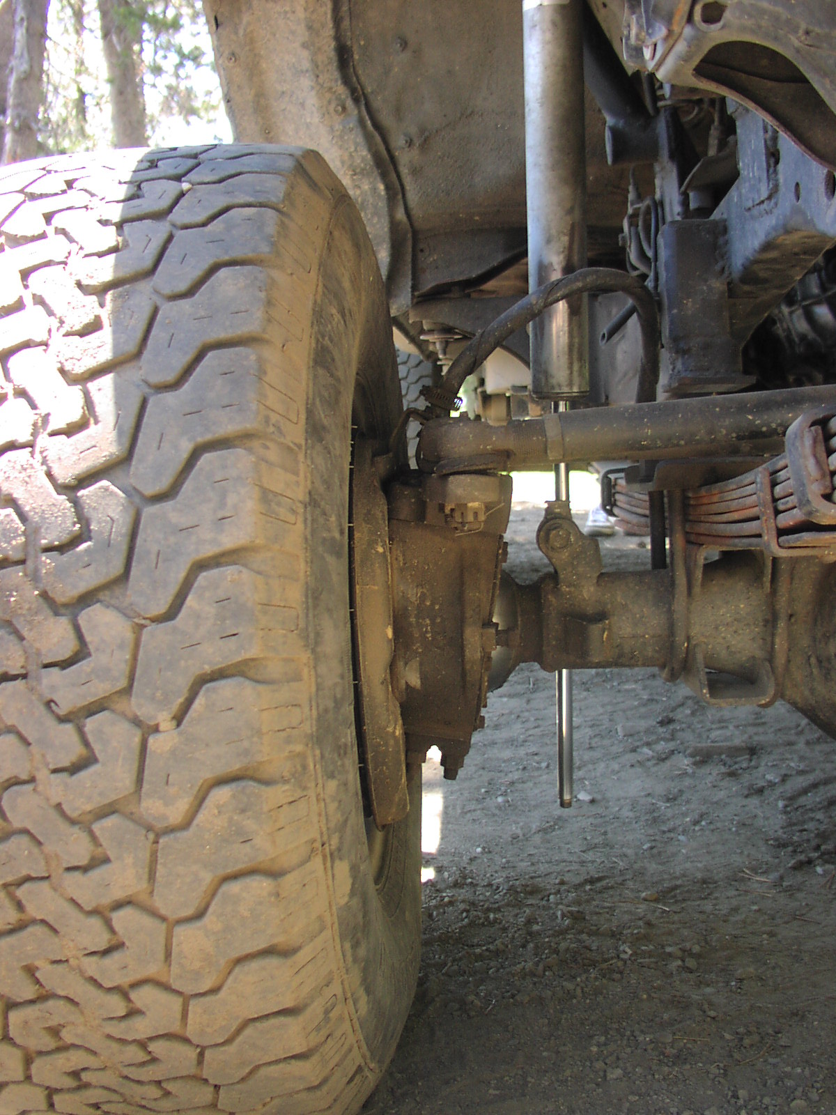
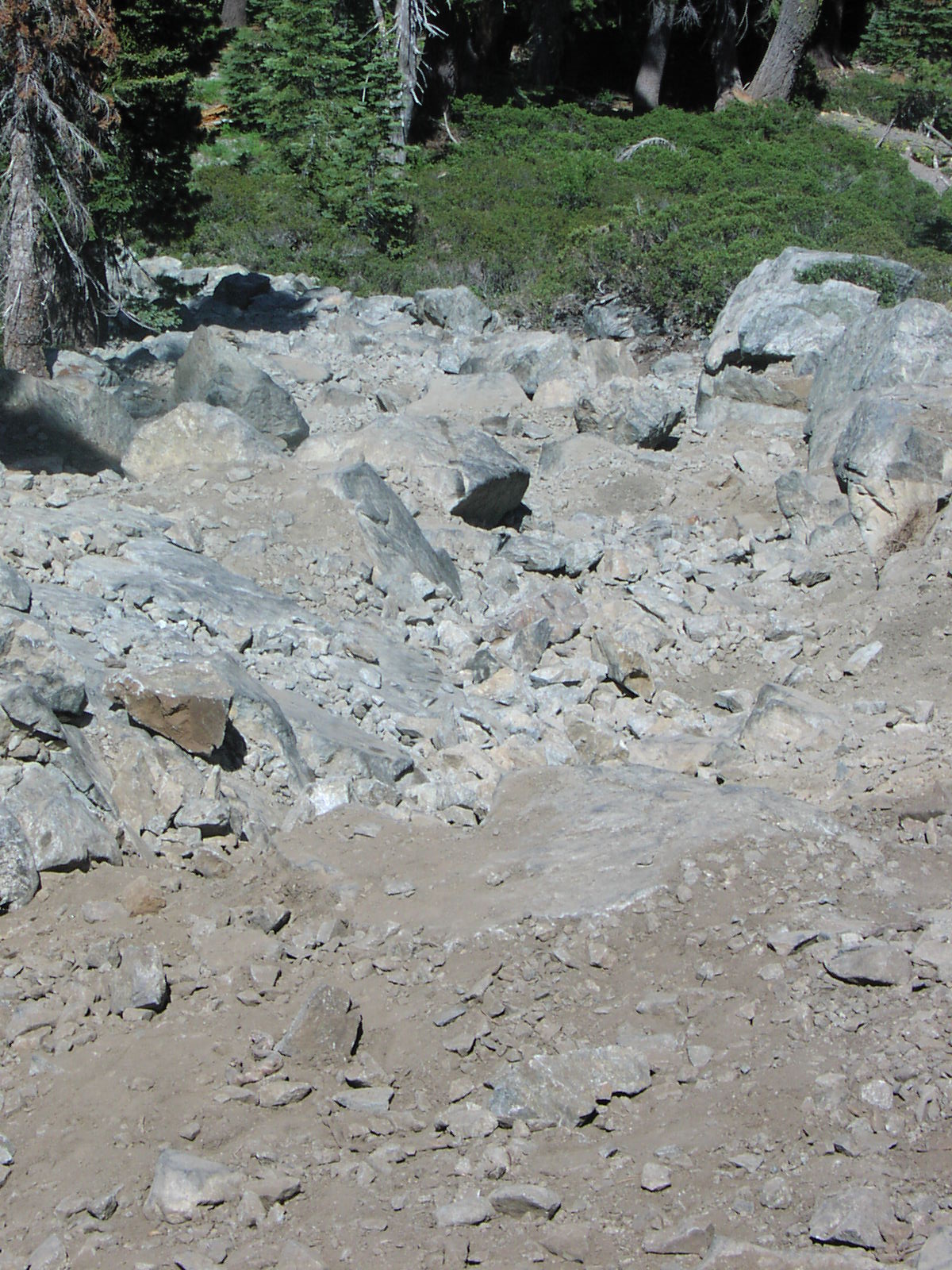
After Spring Valley Lake you cross a creek that has larger boulders which in 2006 was moderate and in 2009 was getting a lot closer to difficult.
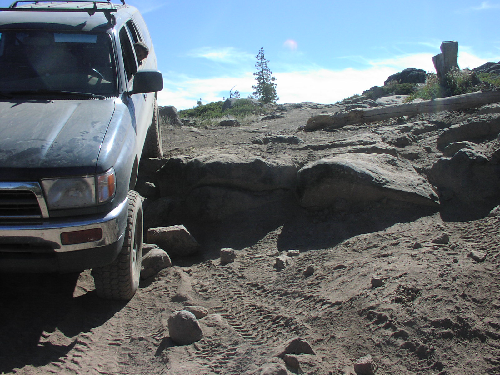
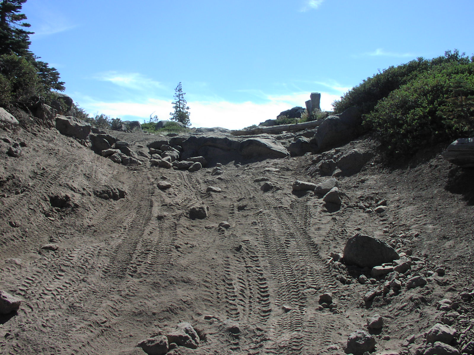
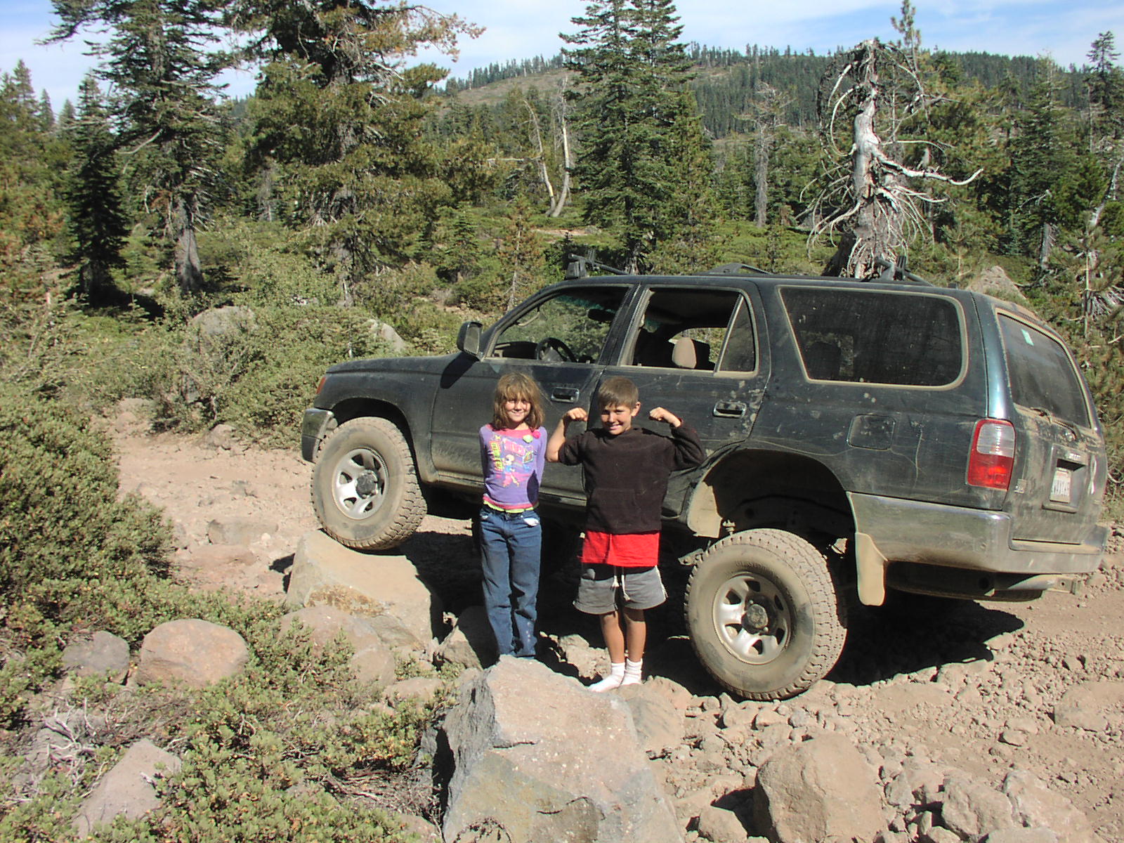
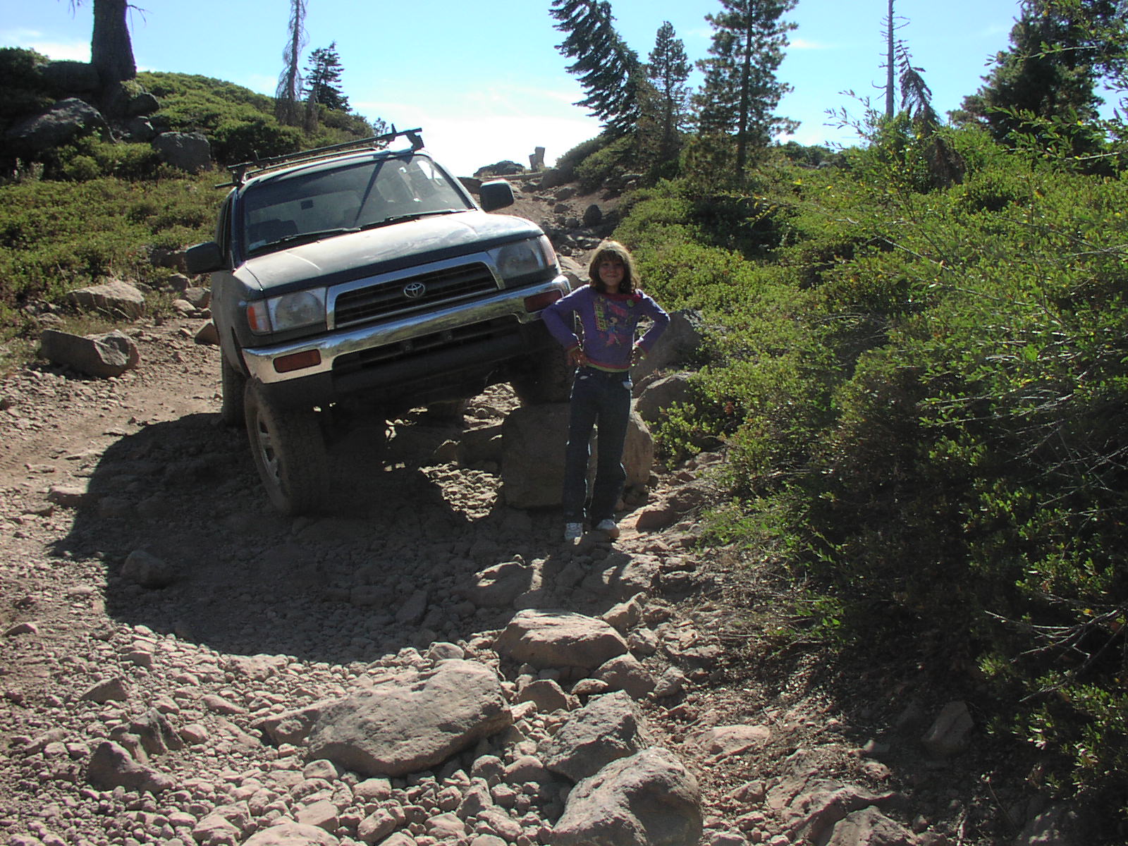
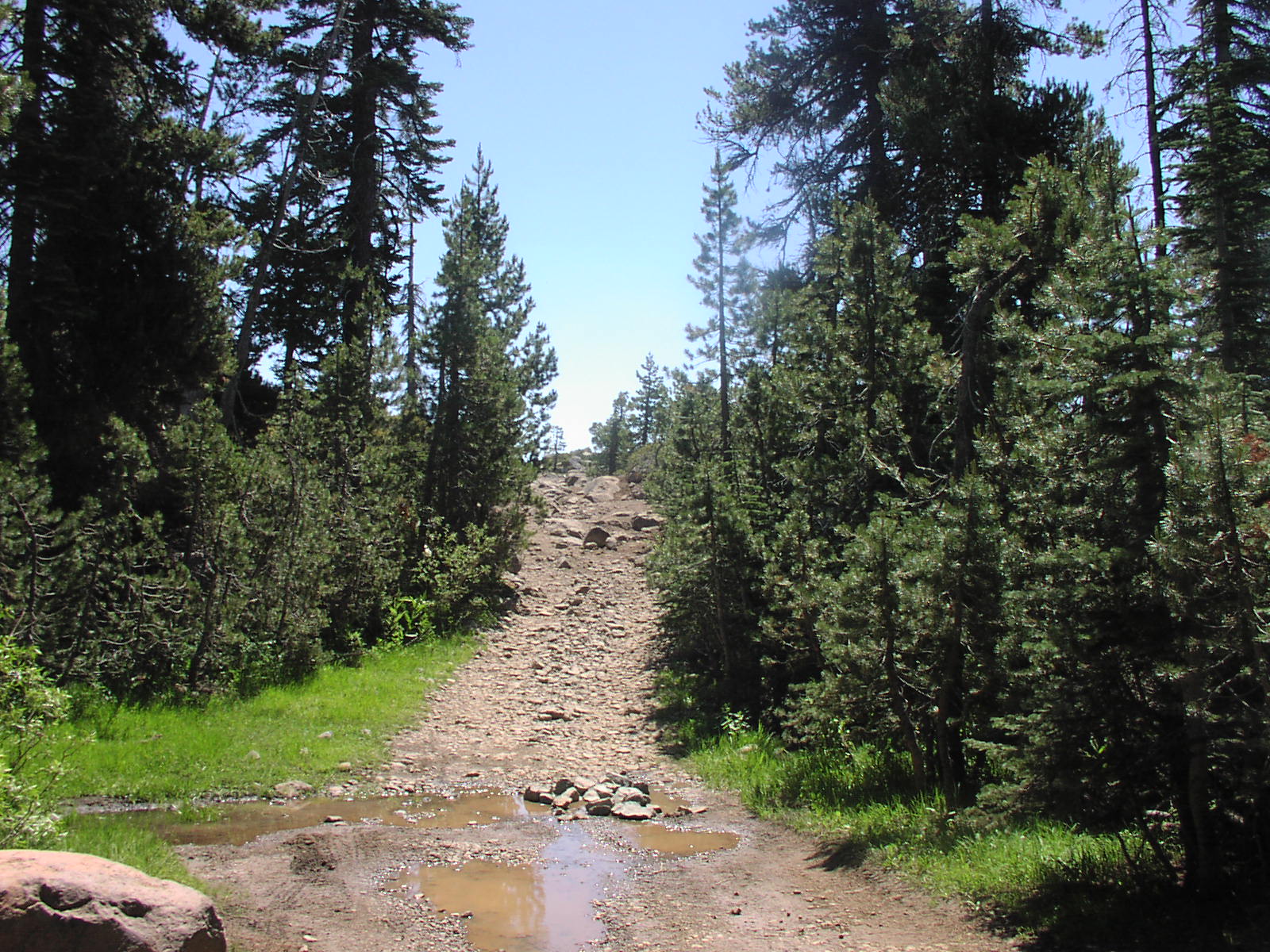
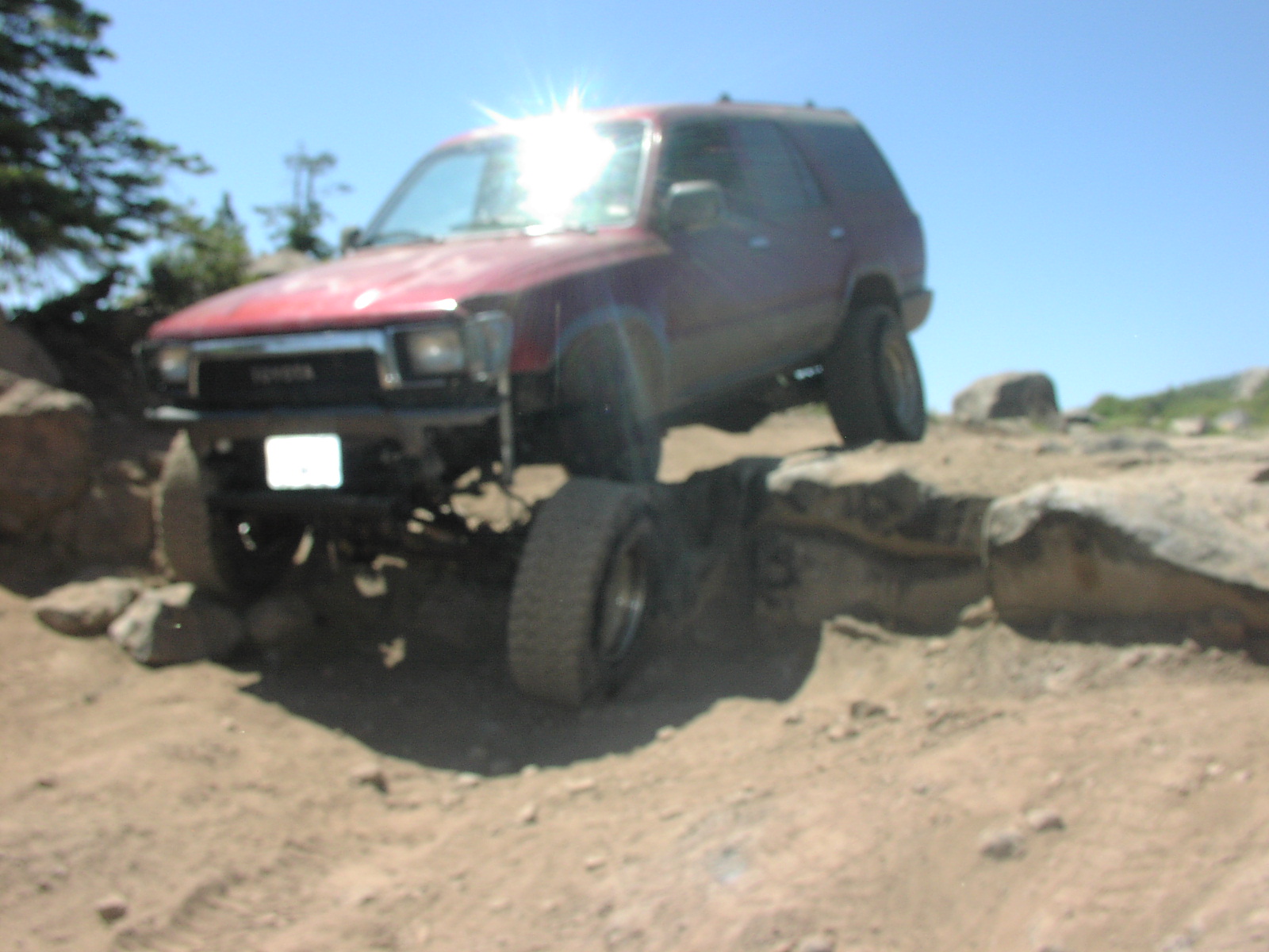
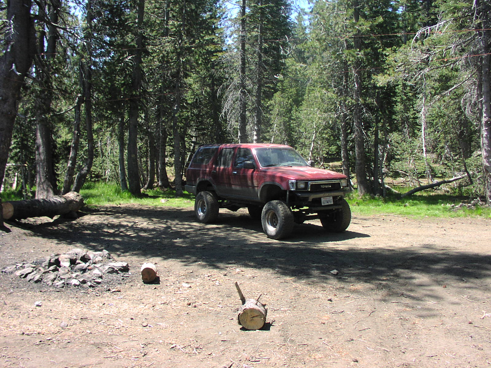
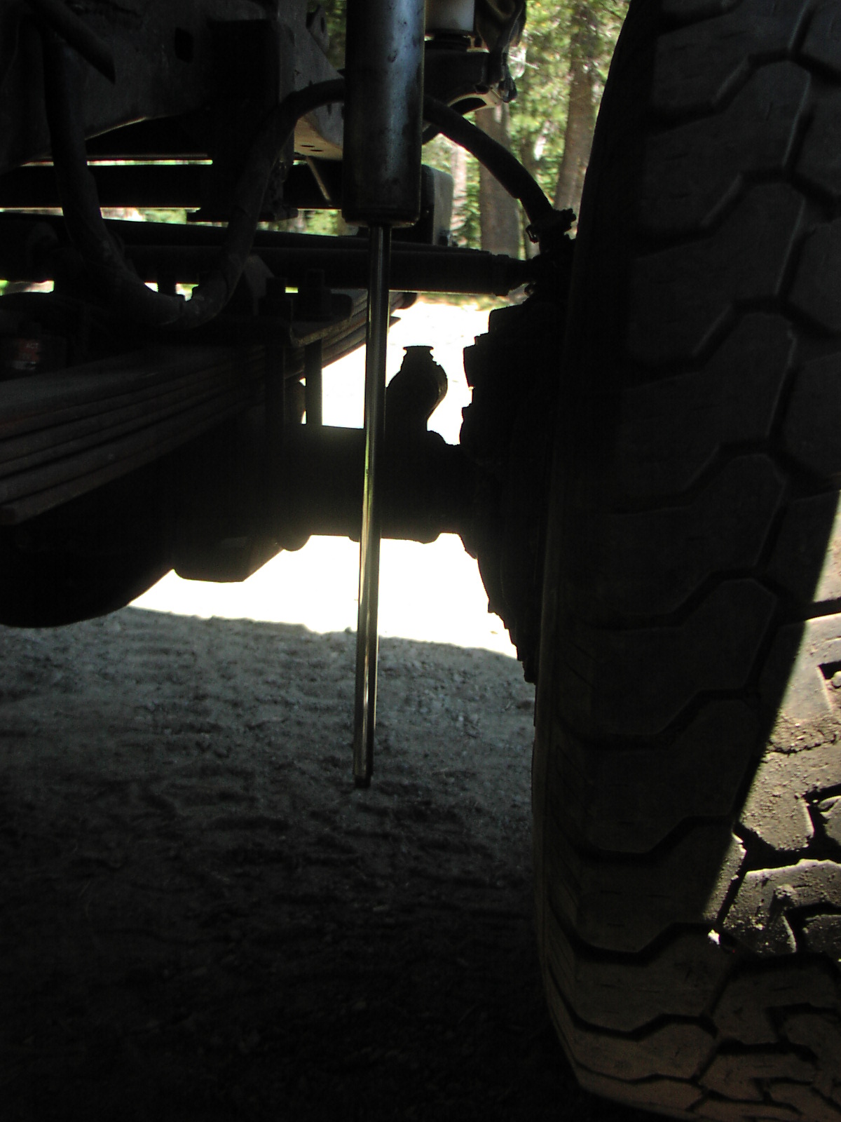
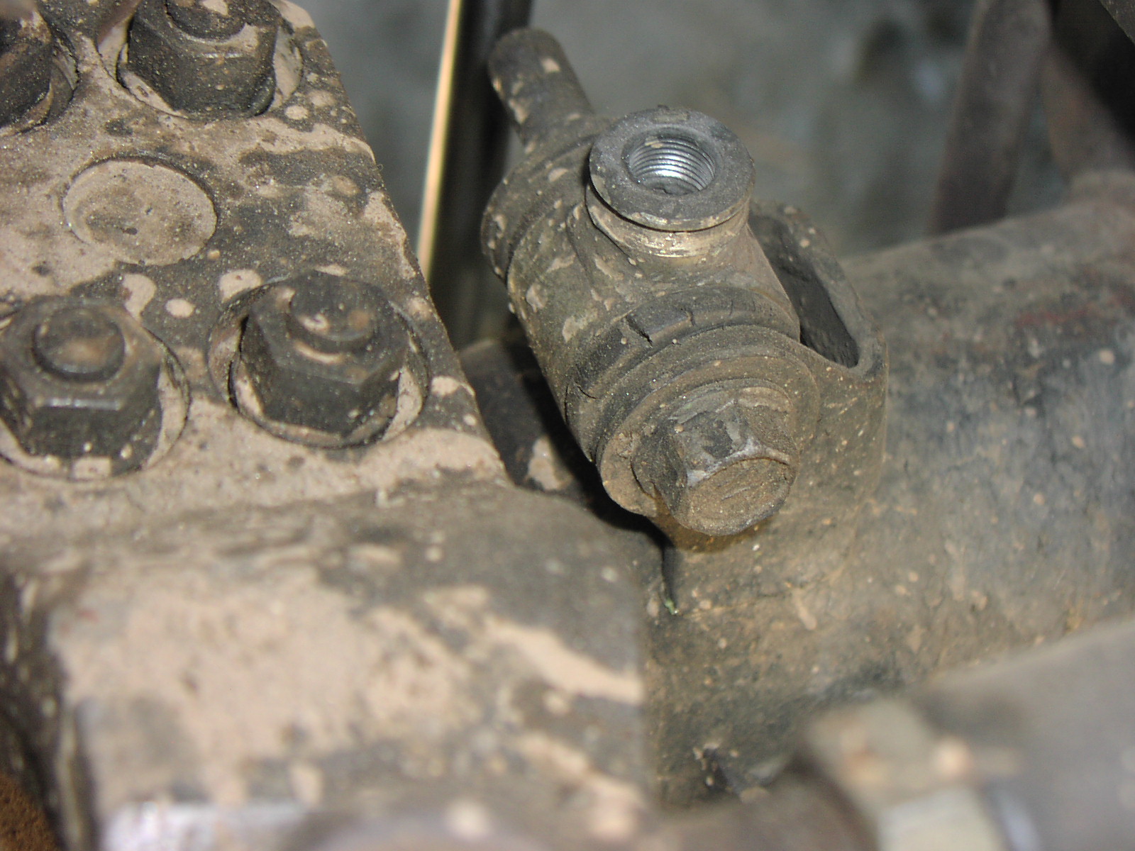
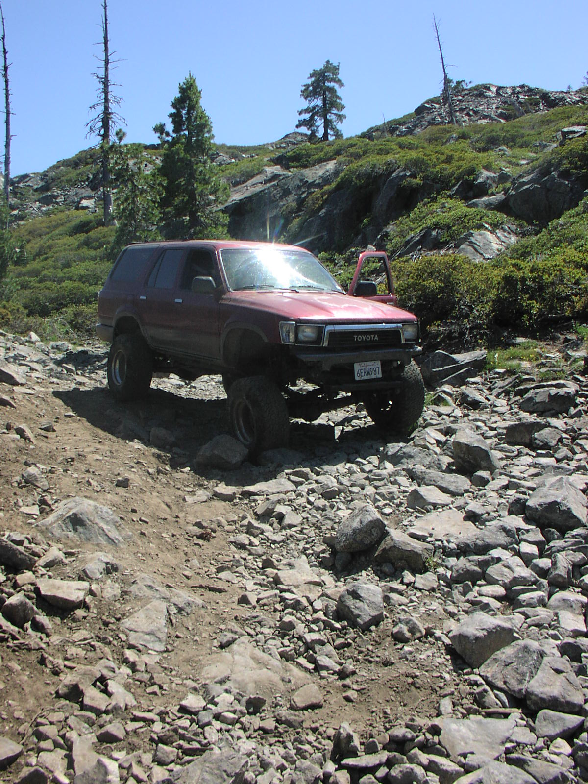
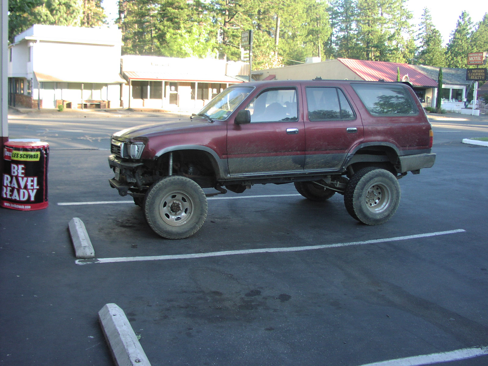
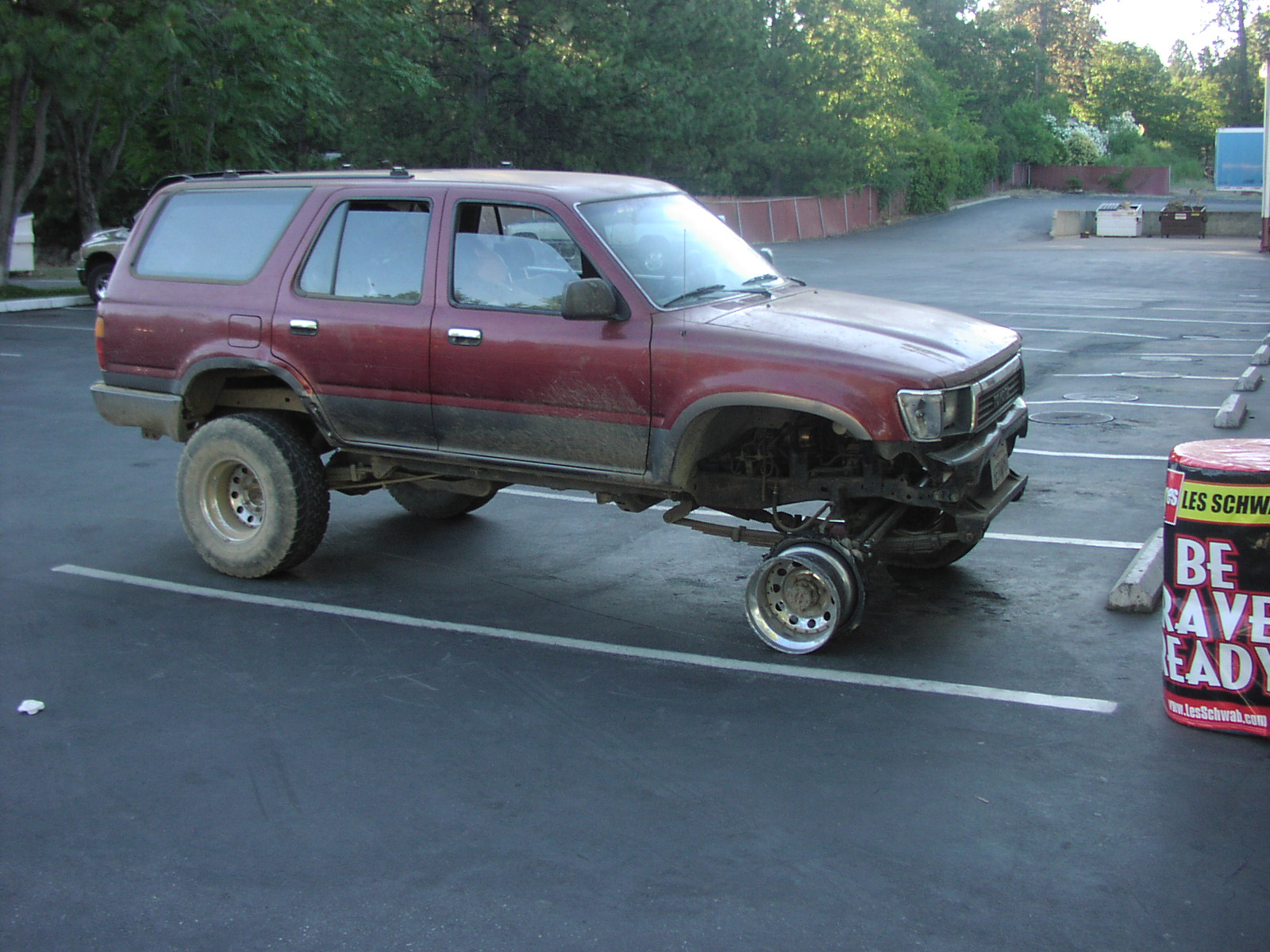
Then you have to go over a ledge where people normally have rocks stacked up. The trail down to Morris Lake is rated difficult. 33s at least one locker and rock armor is advised. In 2009 I cut the side wall on my driver side rear about 1/2 way into Morris. Once I climbed out of Morris and was on top I got a flat on my passenger side front. (I only had one spare) I ended up having to cut off the tire and drive 10mph for 30 miles to Less Schwab in Paradise where I purchased two used tires and one used rim for $106.00. |
| Location | Lassen National Forest, north of Chico, near Philbrook Lake. |
| Directions | Google Maps from Paradise |
| Fishing | Yes |
| Camping | Campground at Philbrook, and lots of ohv camping near lakes. |
| Elevation | 5600 - 6500 |
| Latitude | 40° 1' 22" N |
| Longitude | 121° 23' 46" W |
| Weather | National Weather Service |
| Map Index | E-11 (Lassen National Forest) |
| Maps |
Small Map of Area Lassen National Forest Map (11.7MB) |
| Adopted By |
Friends of the Highlakes |
| Links |
Gentry Off Road - High Lakes - By LILBUDDY USDA Forest Service - Projects and Plans » High Lakes OHV Area 4x4trailhunters.com/ |
| Video |
bangin it up morris lake / highlakes High Lakes 09 High Lakes 4x4 High Lakes 9-6-08 High Lakes trip 6/15-17/07 Morris Lake thor moabin morris lake with 47 inch ltbs |
View Larger Map
2009 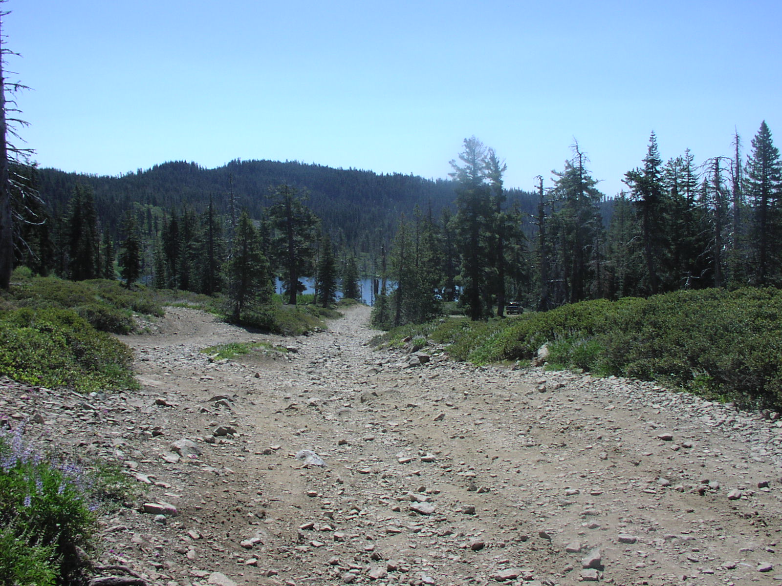

|