| Author | whokrz |
| Year | 2007 |
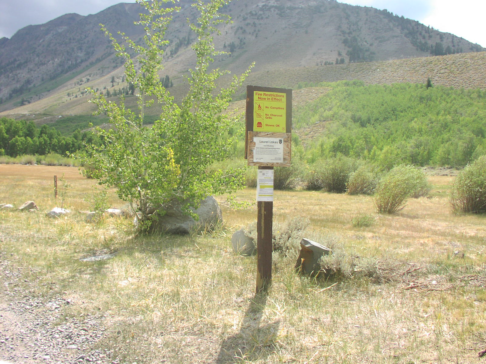
| Trail Open | June - October (Depending on snow level) |
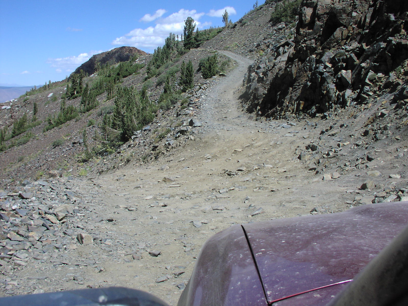
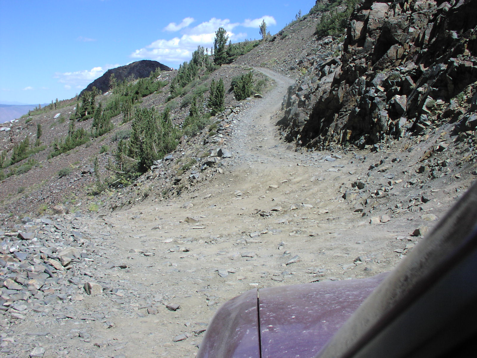
| Difficulty | Moderate [5] |
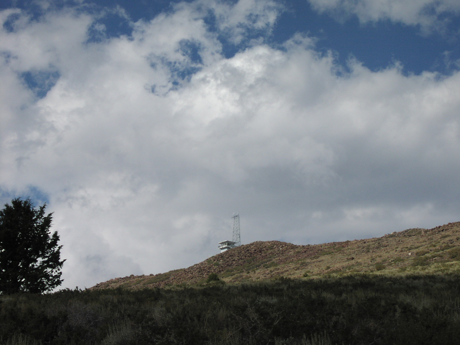
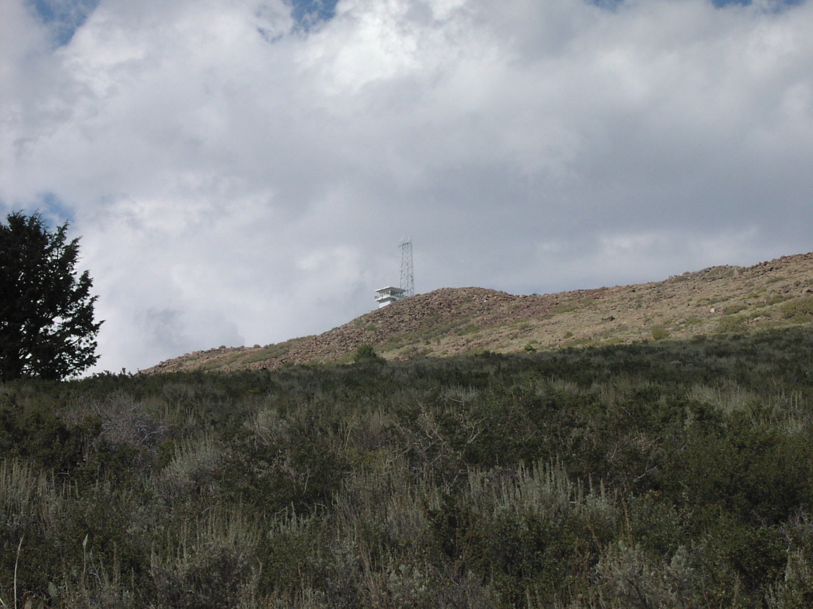
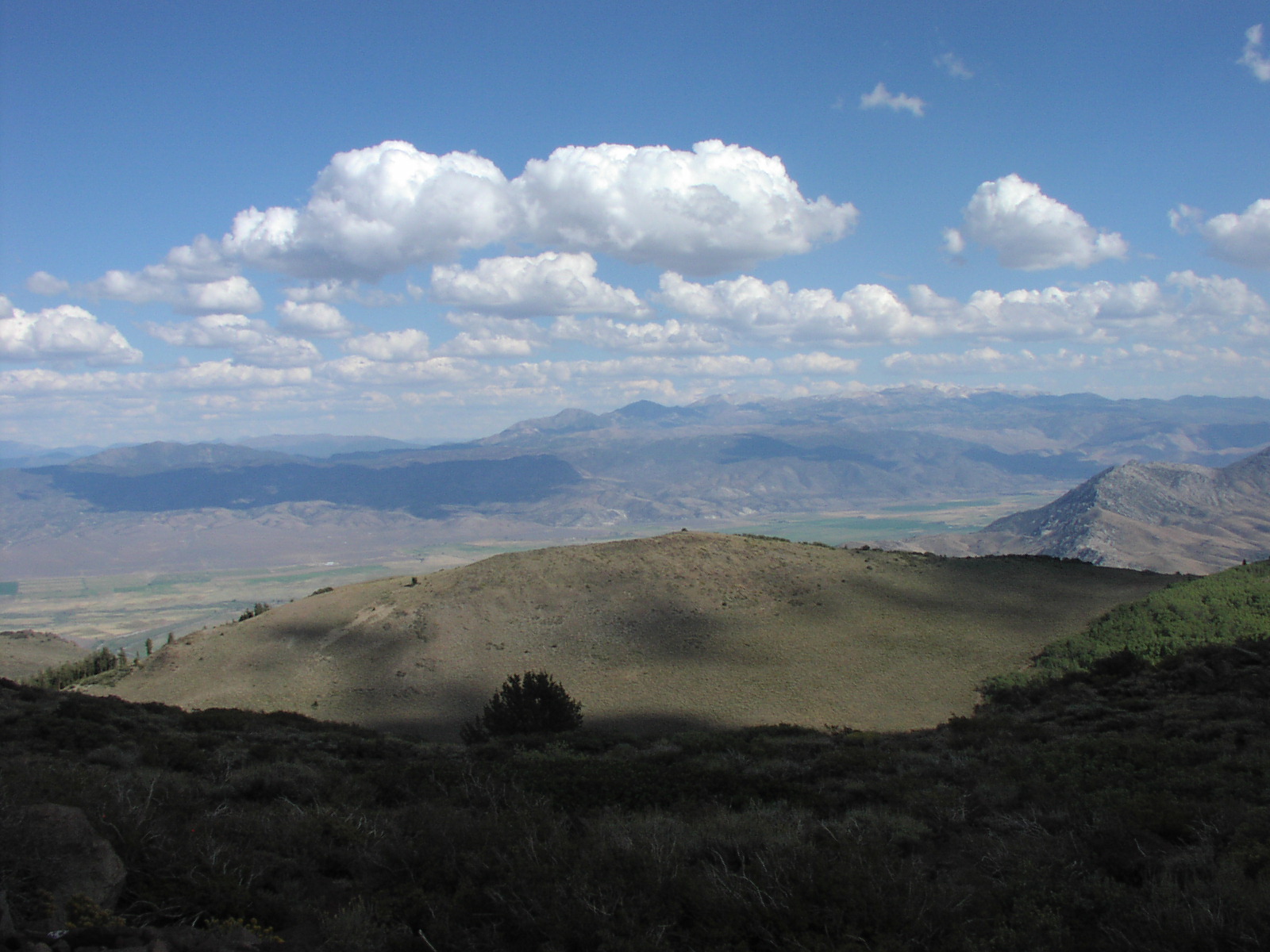
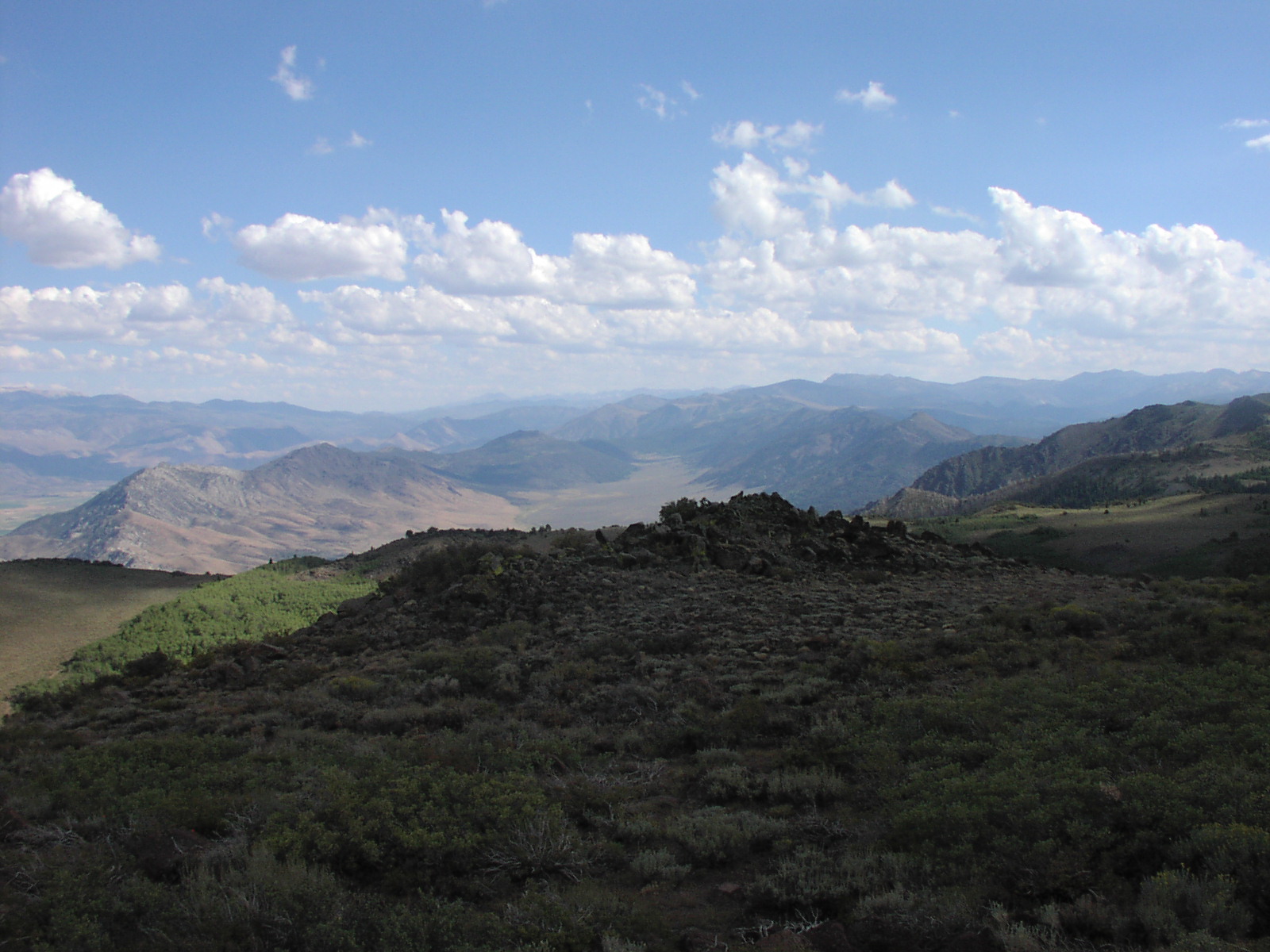
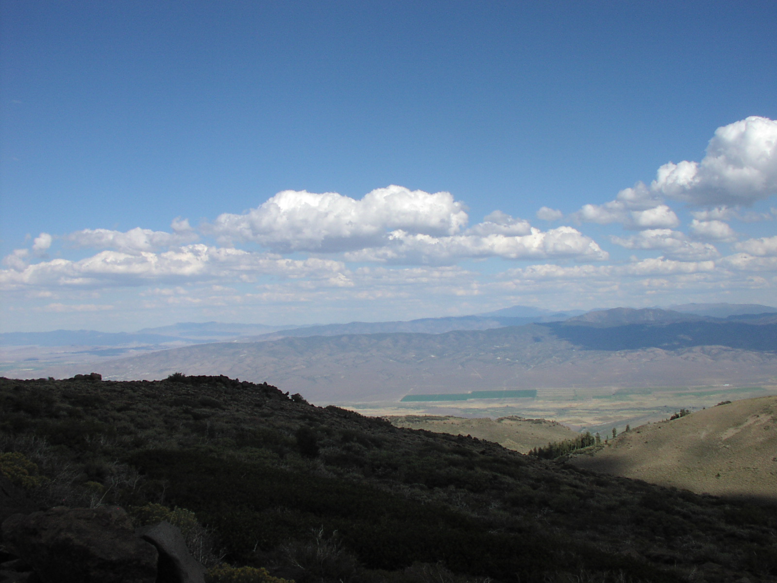
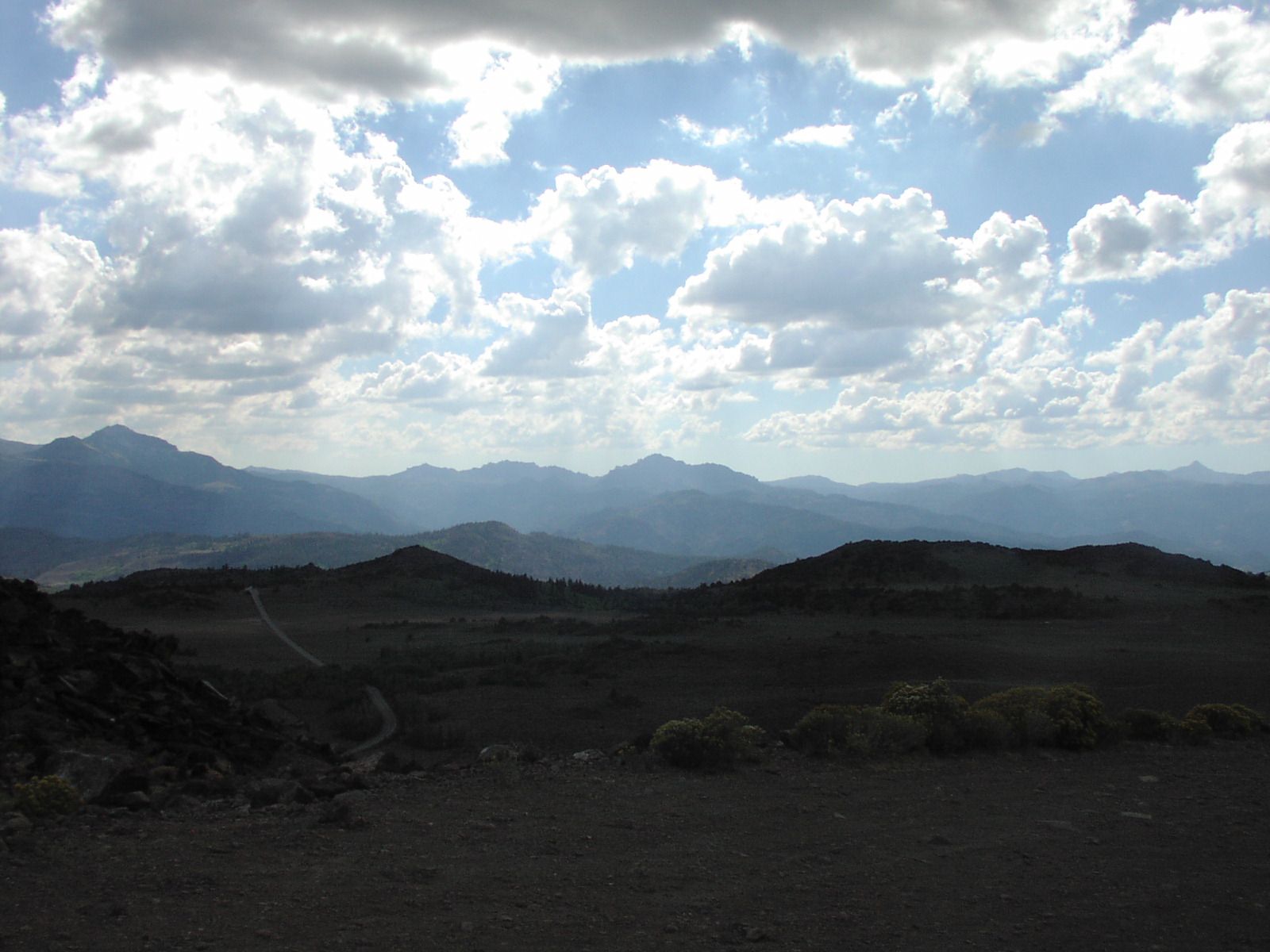
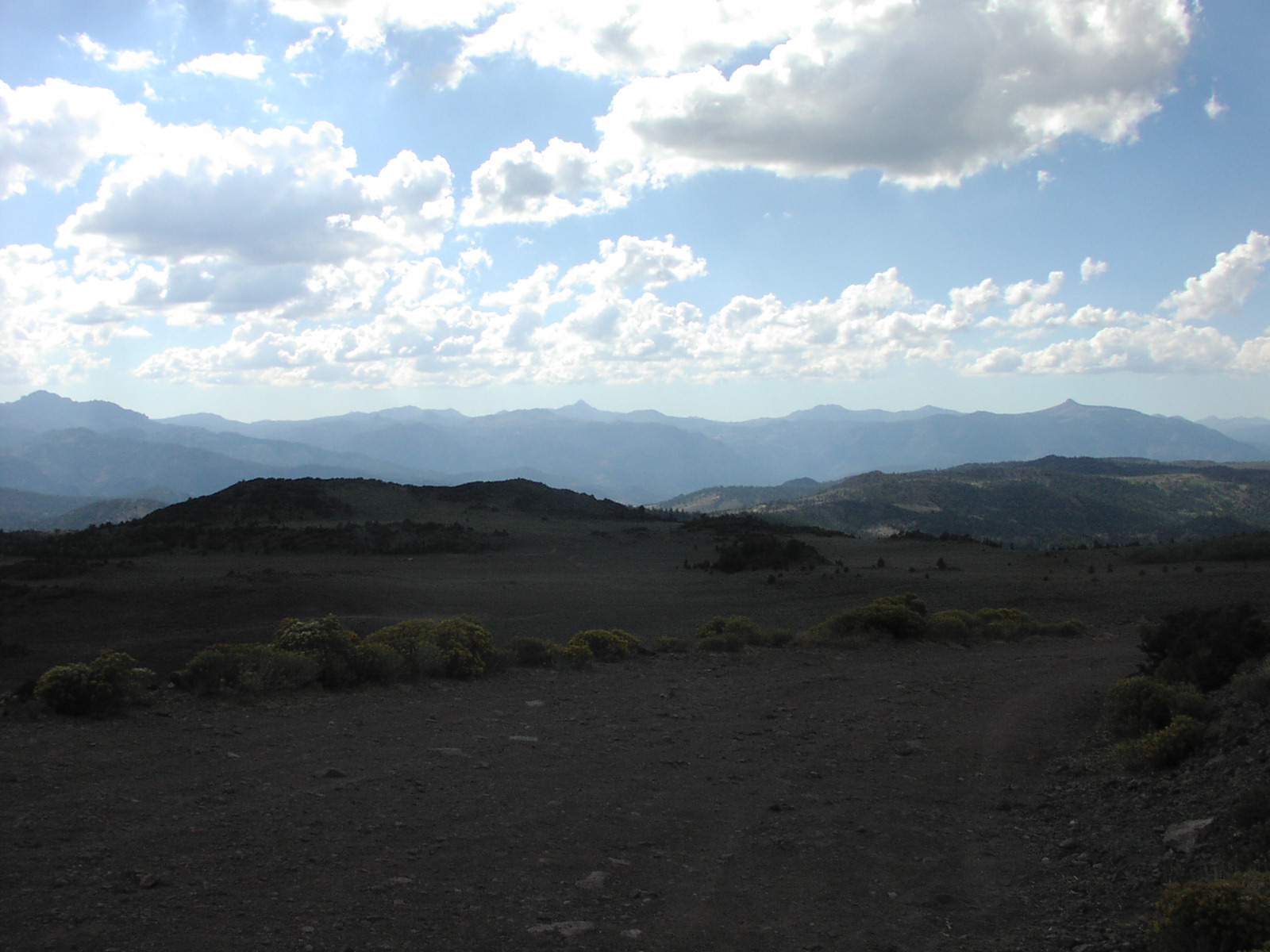
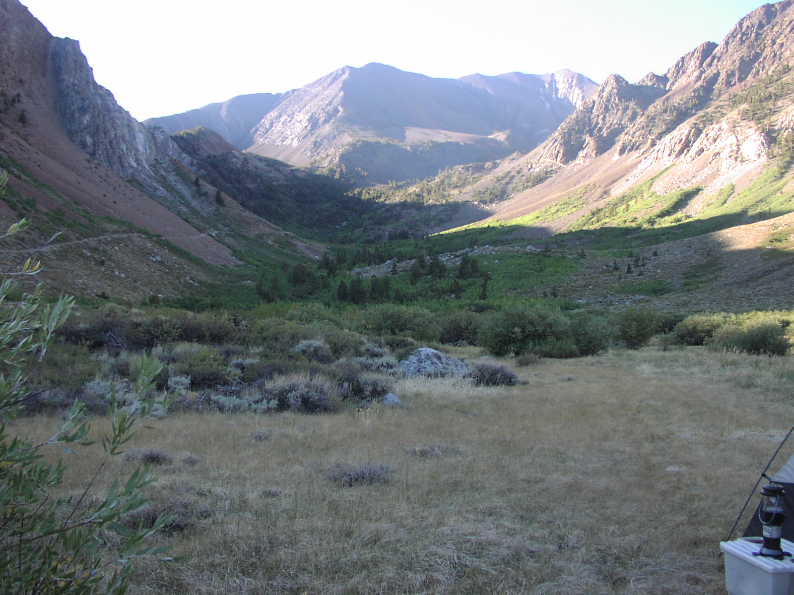
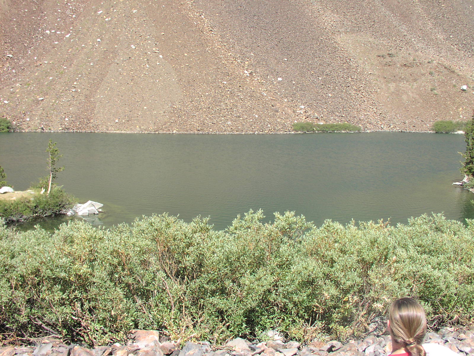
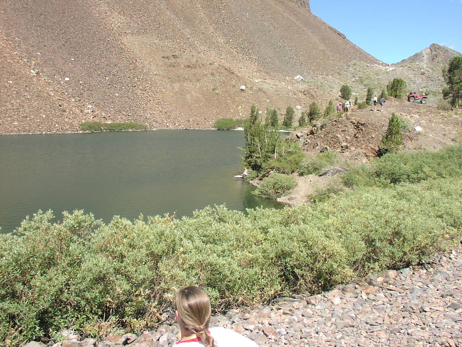
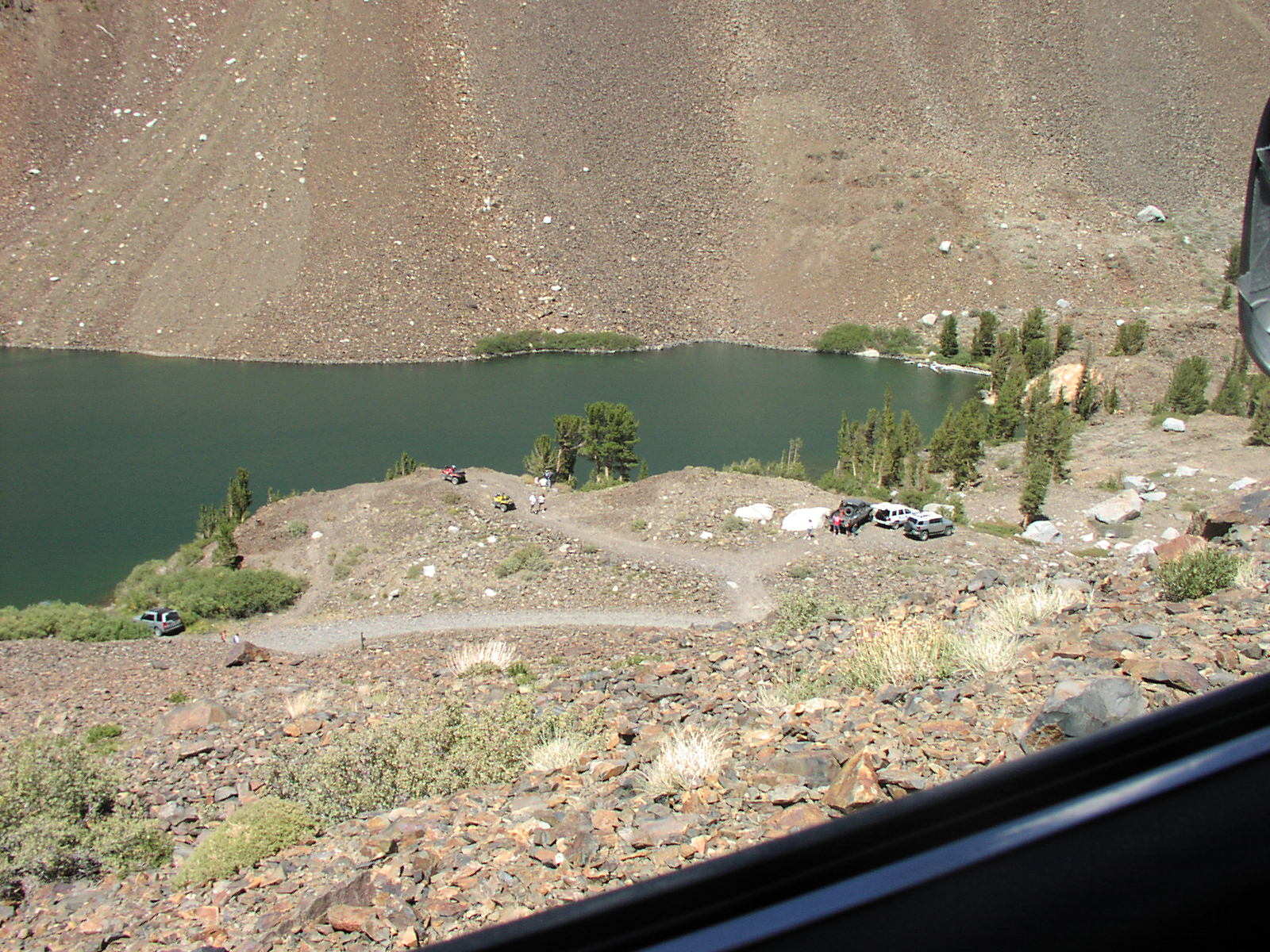
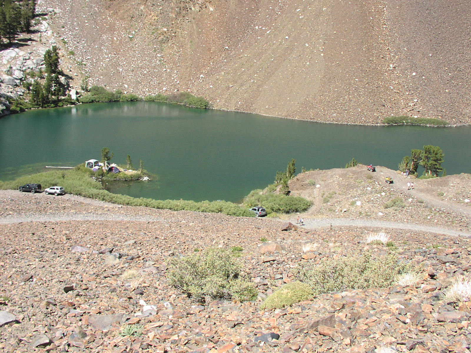
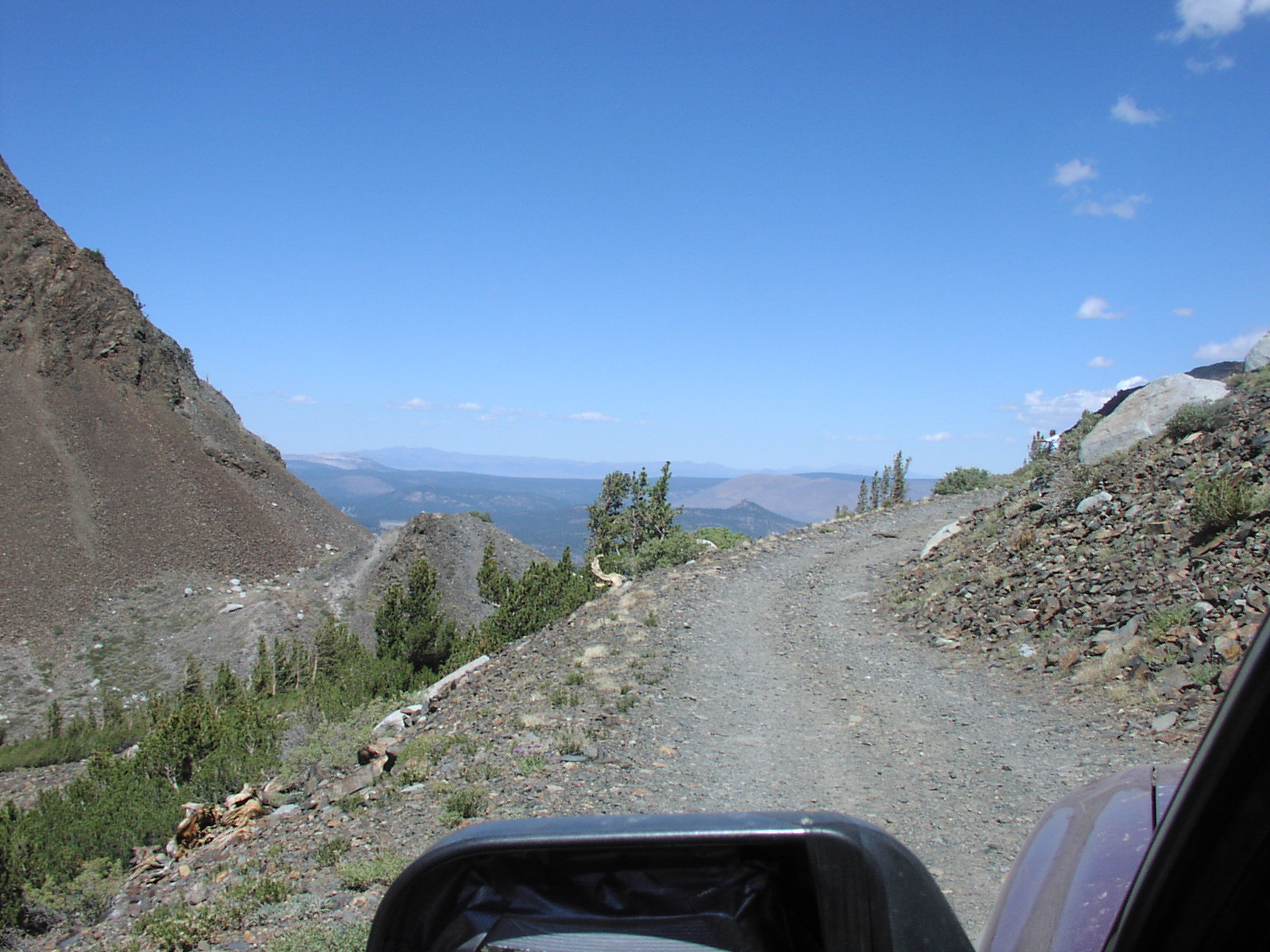
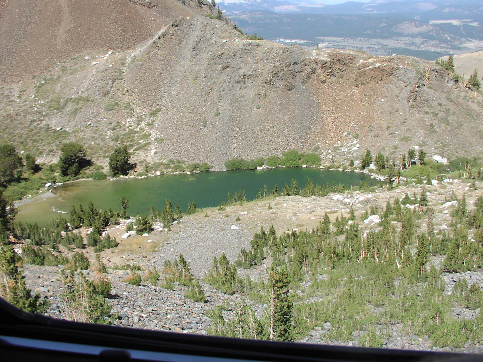
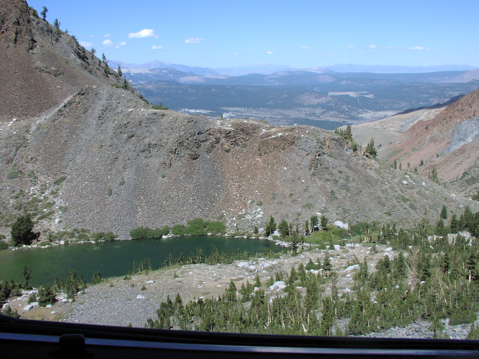
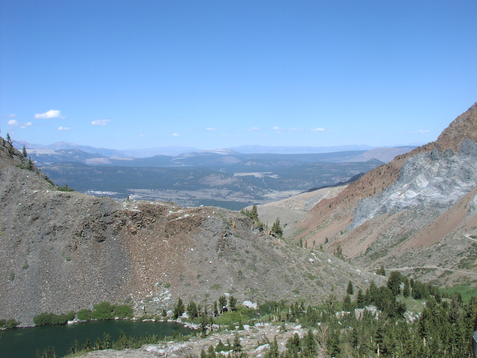
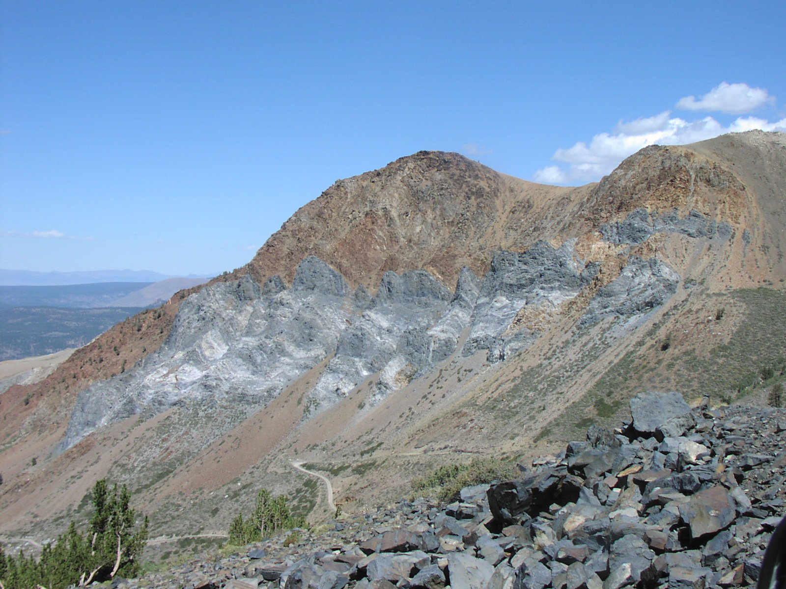
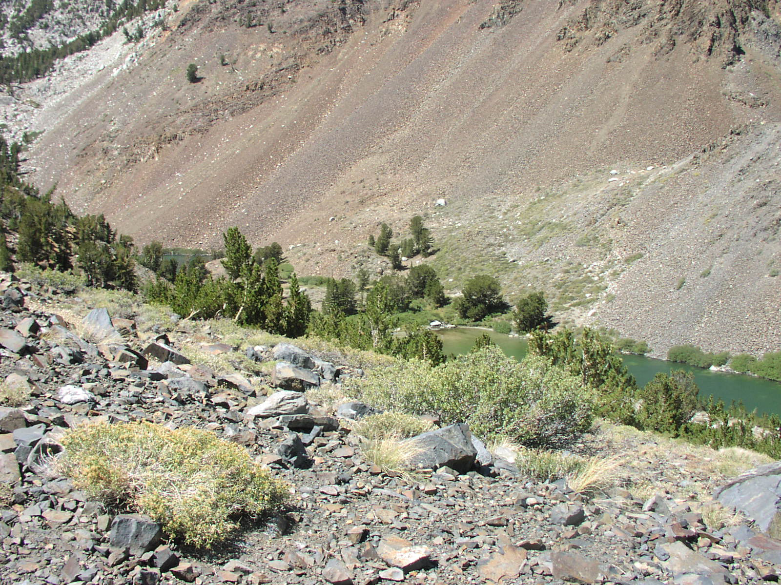
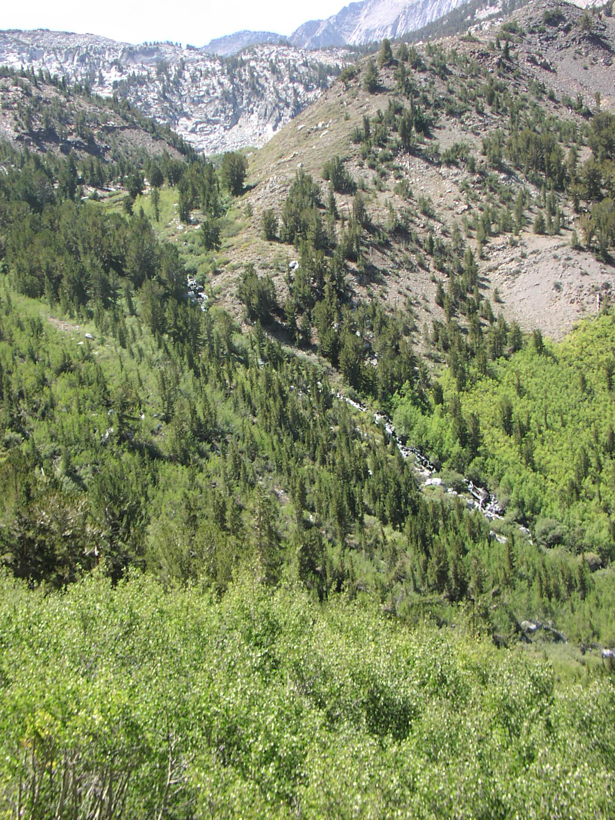
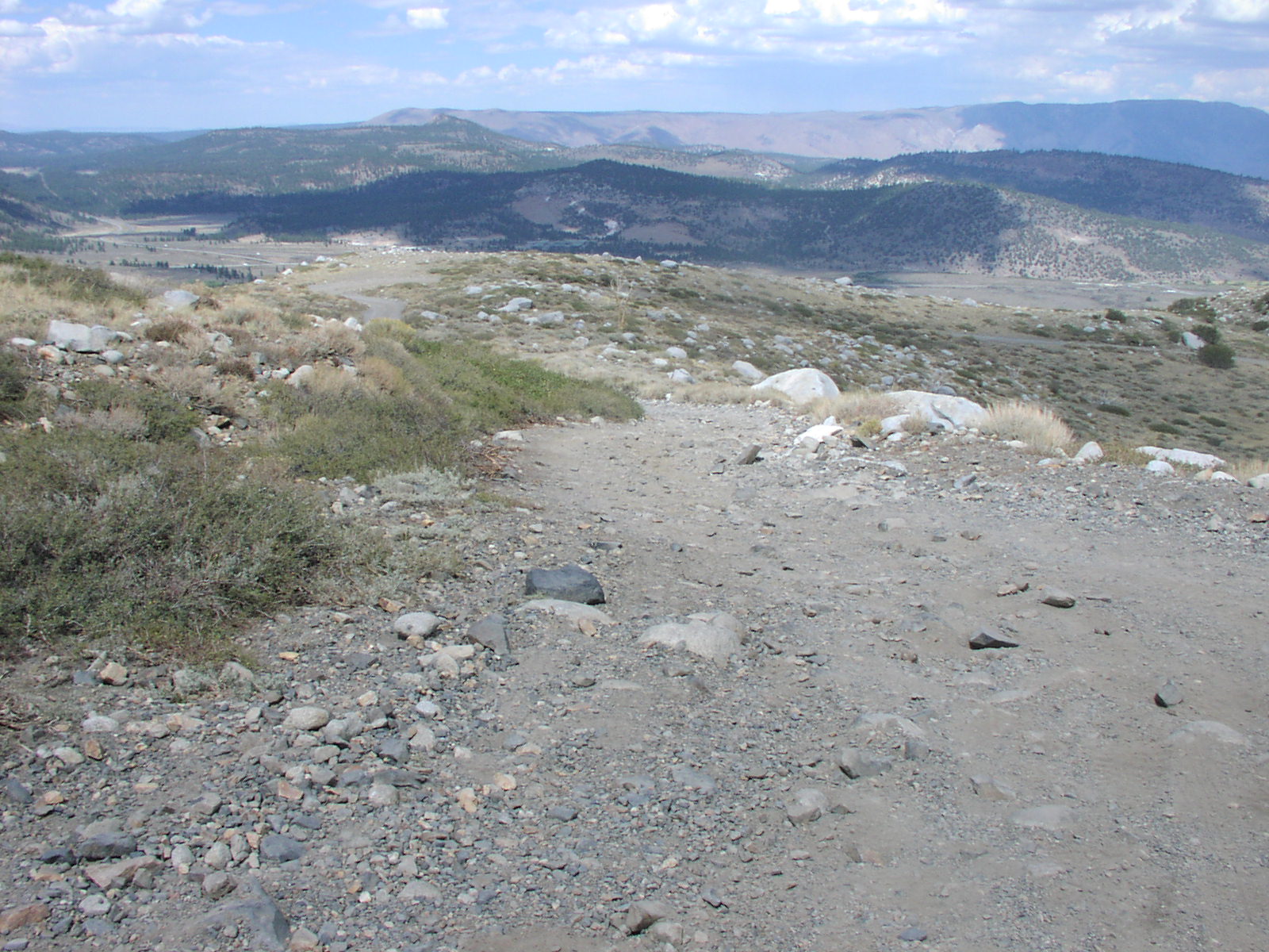
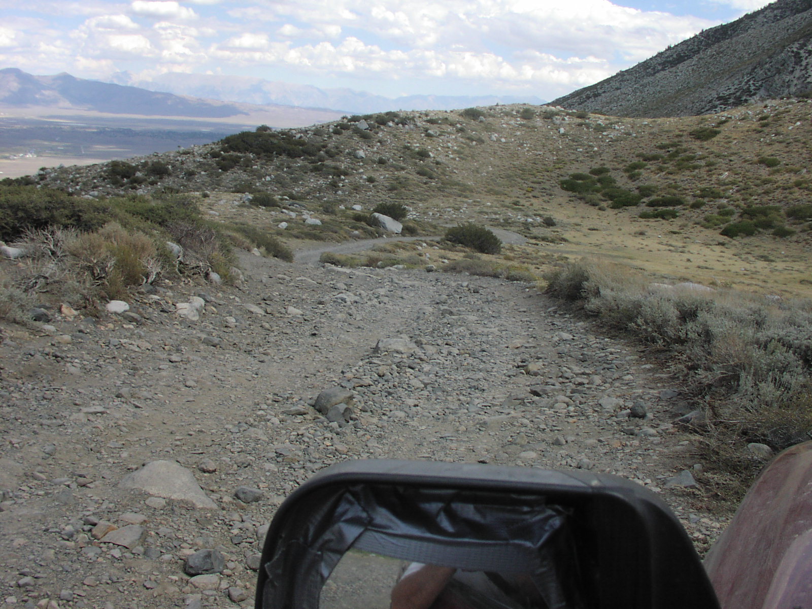
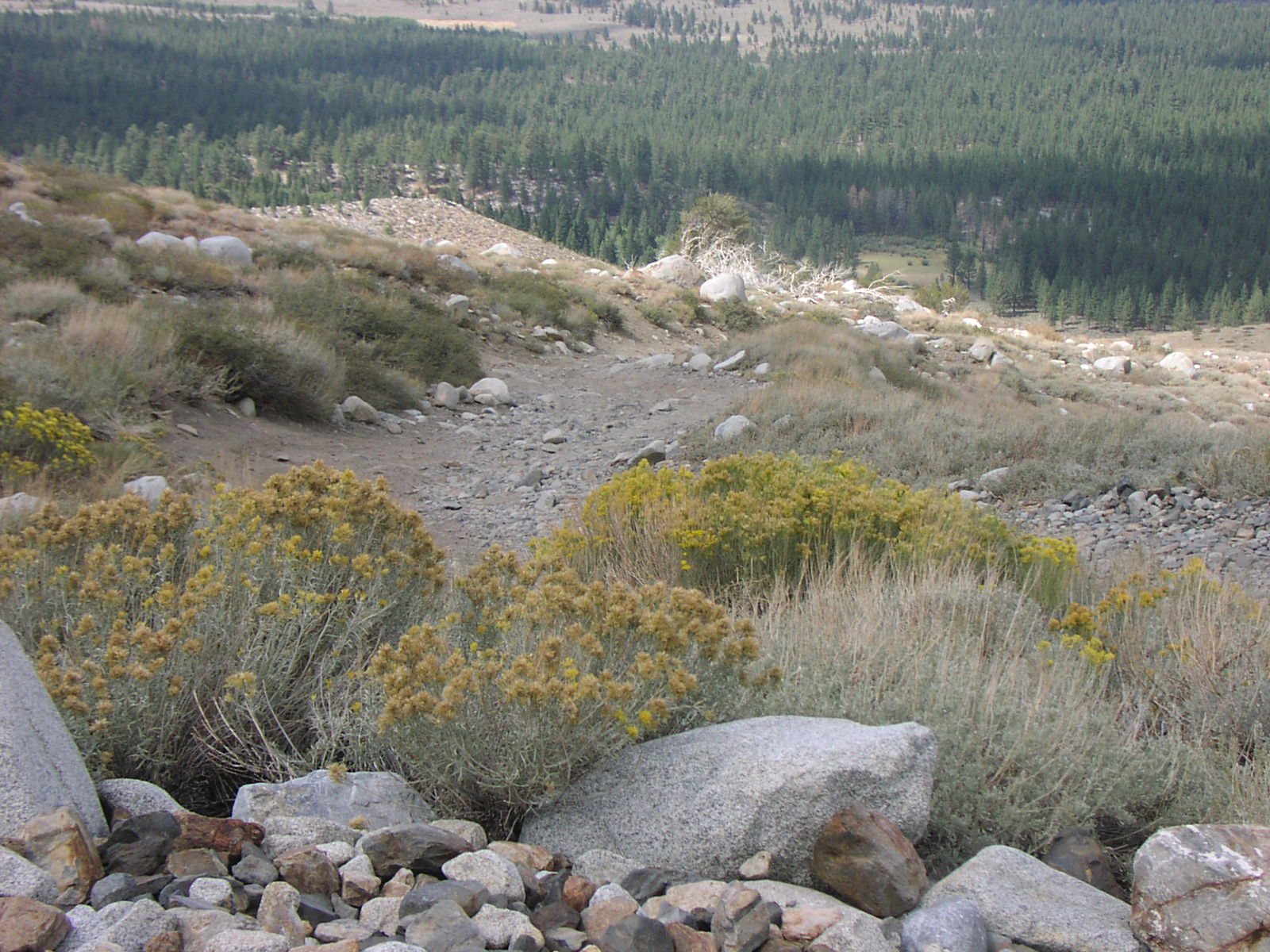
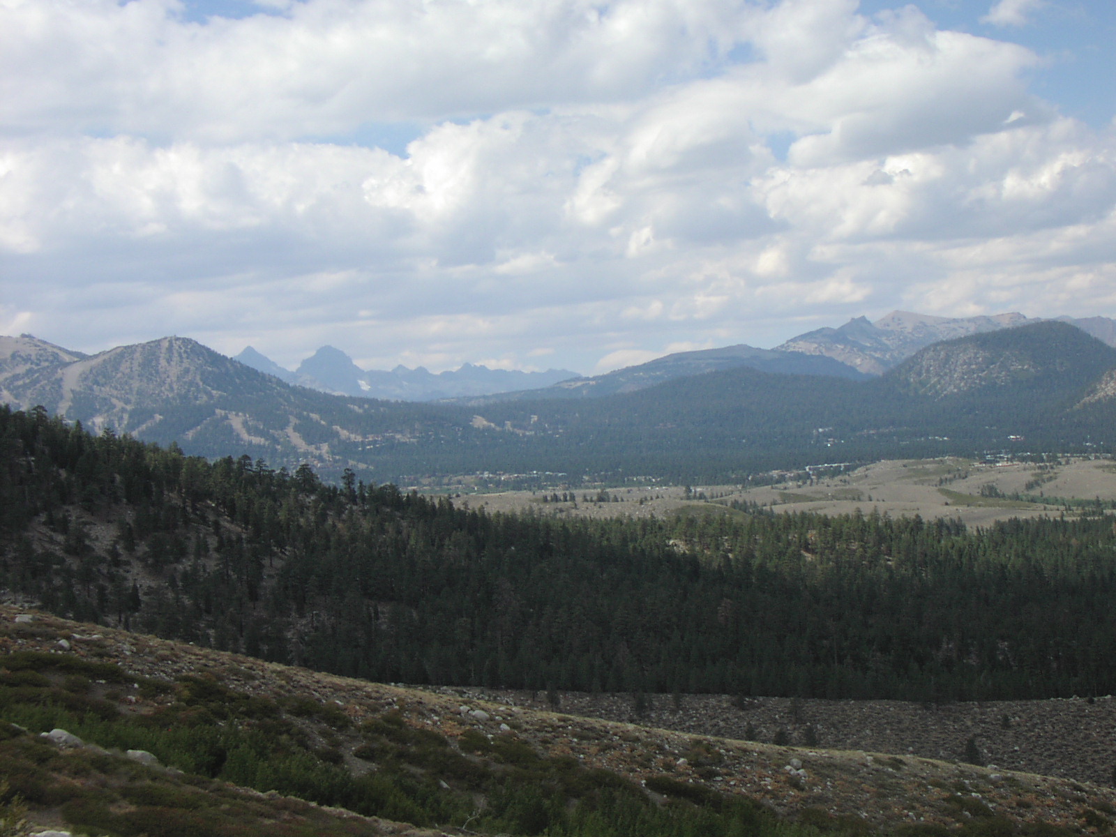
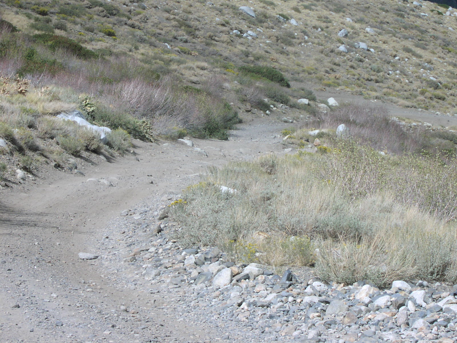
| Description | Nice scenery |
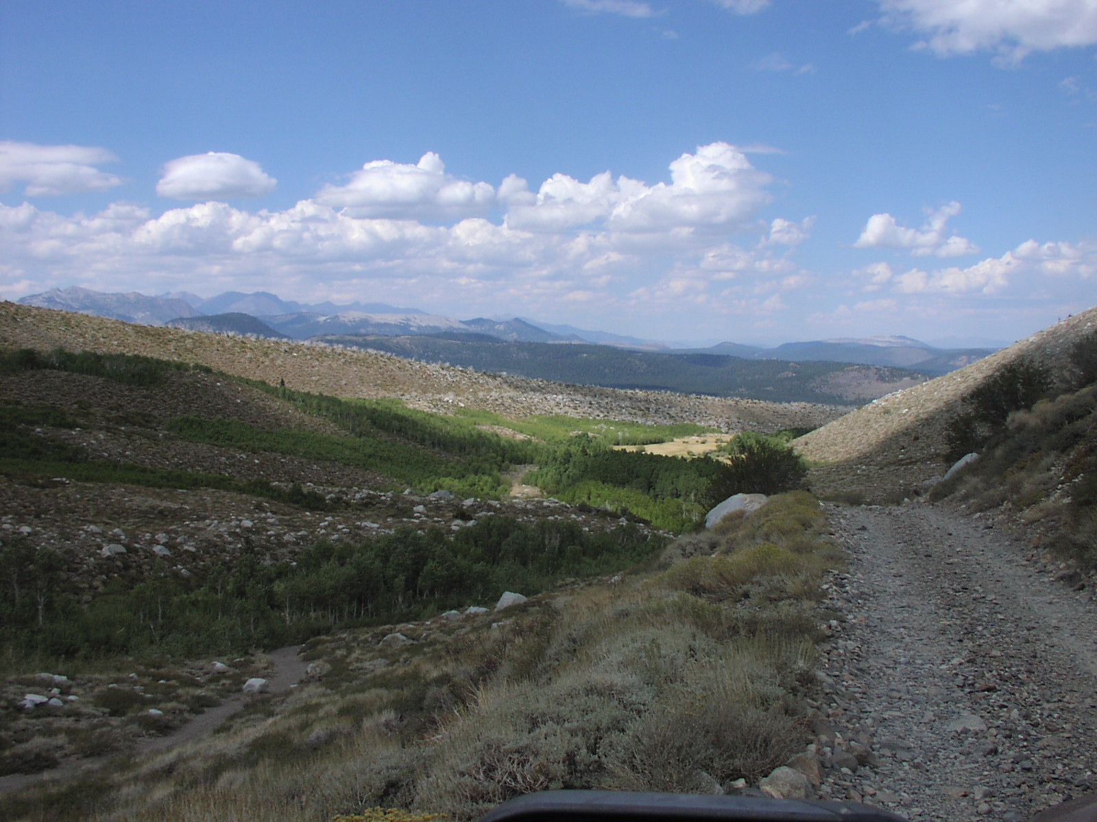
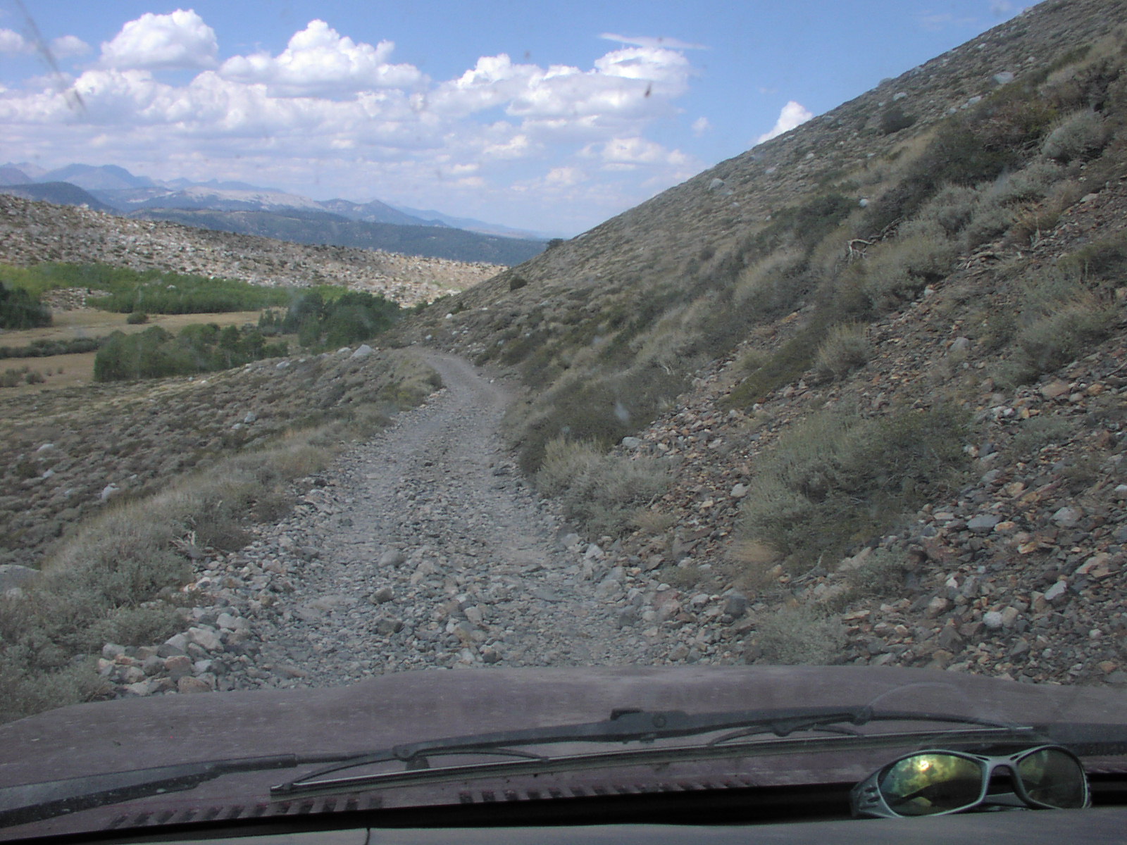
| Location | Inyo National Forest, near the town of Mammoth Lakes. |
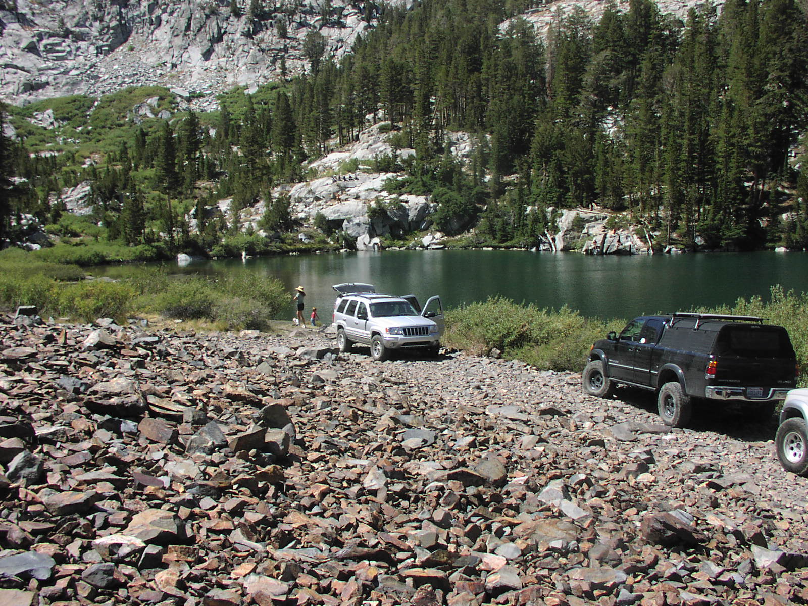
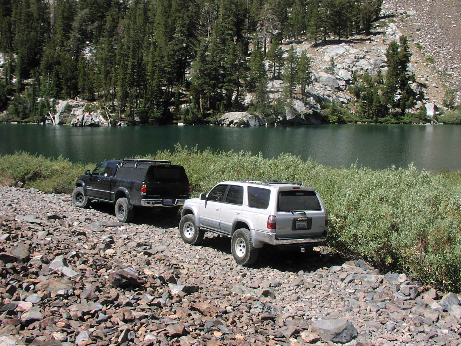
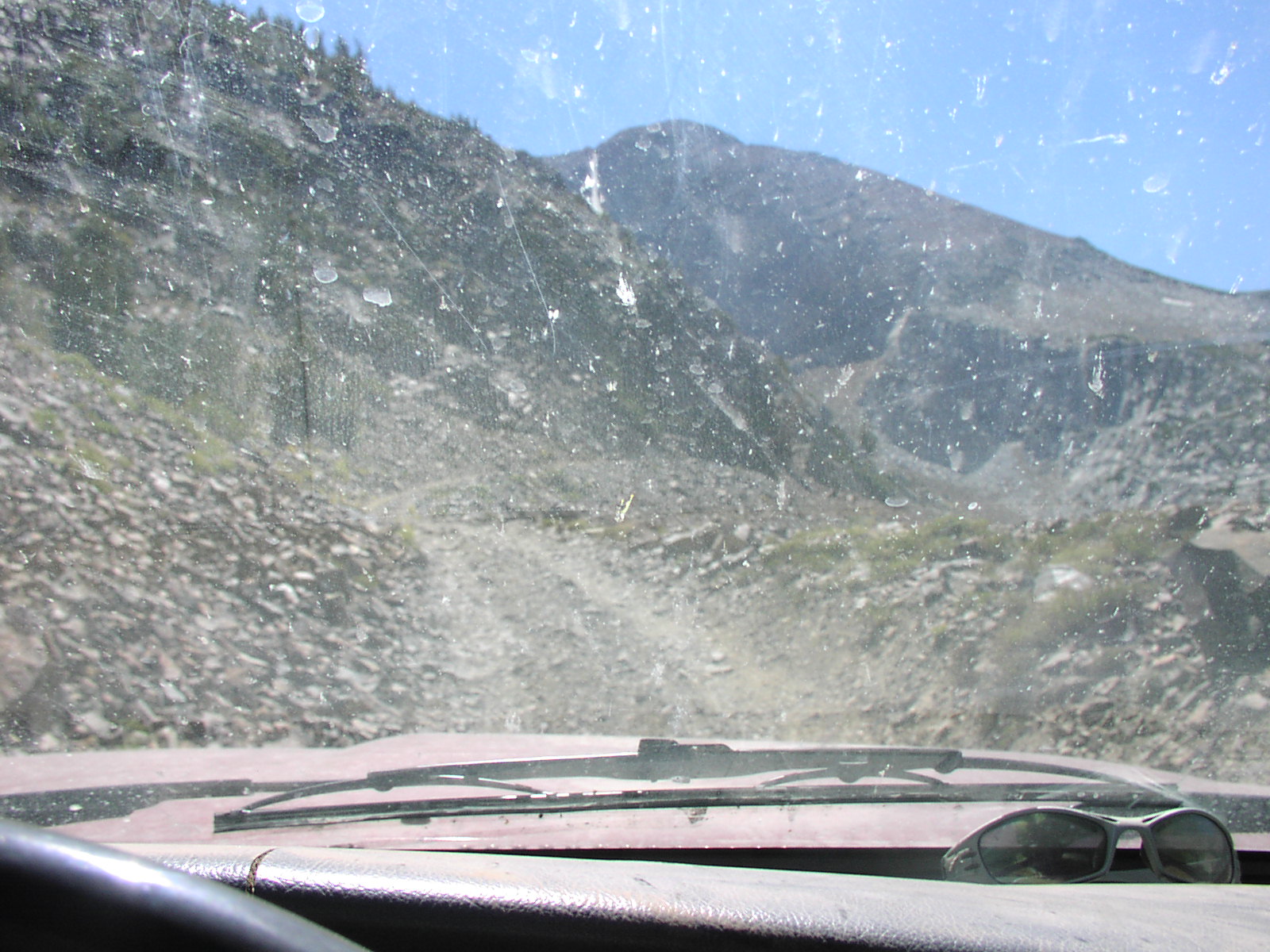
| Directions | Google Maps from Mammoth Lakes. Once you reach this point you go south and start to climb in elevation. To see the road look at the National Forest Map. |
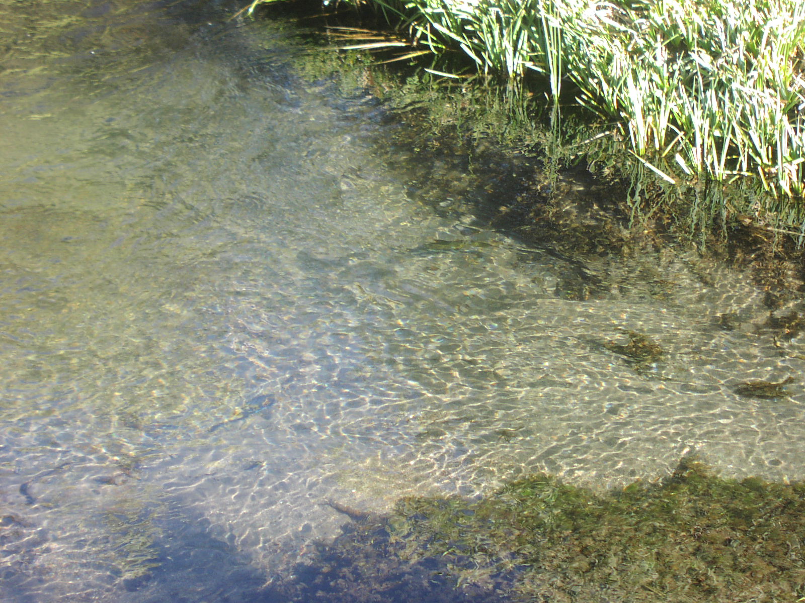
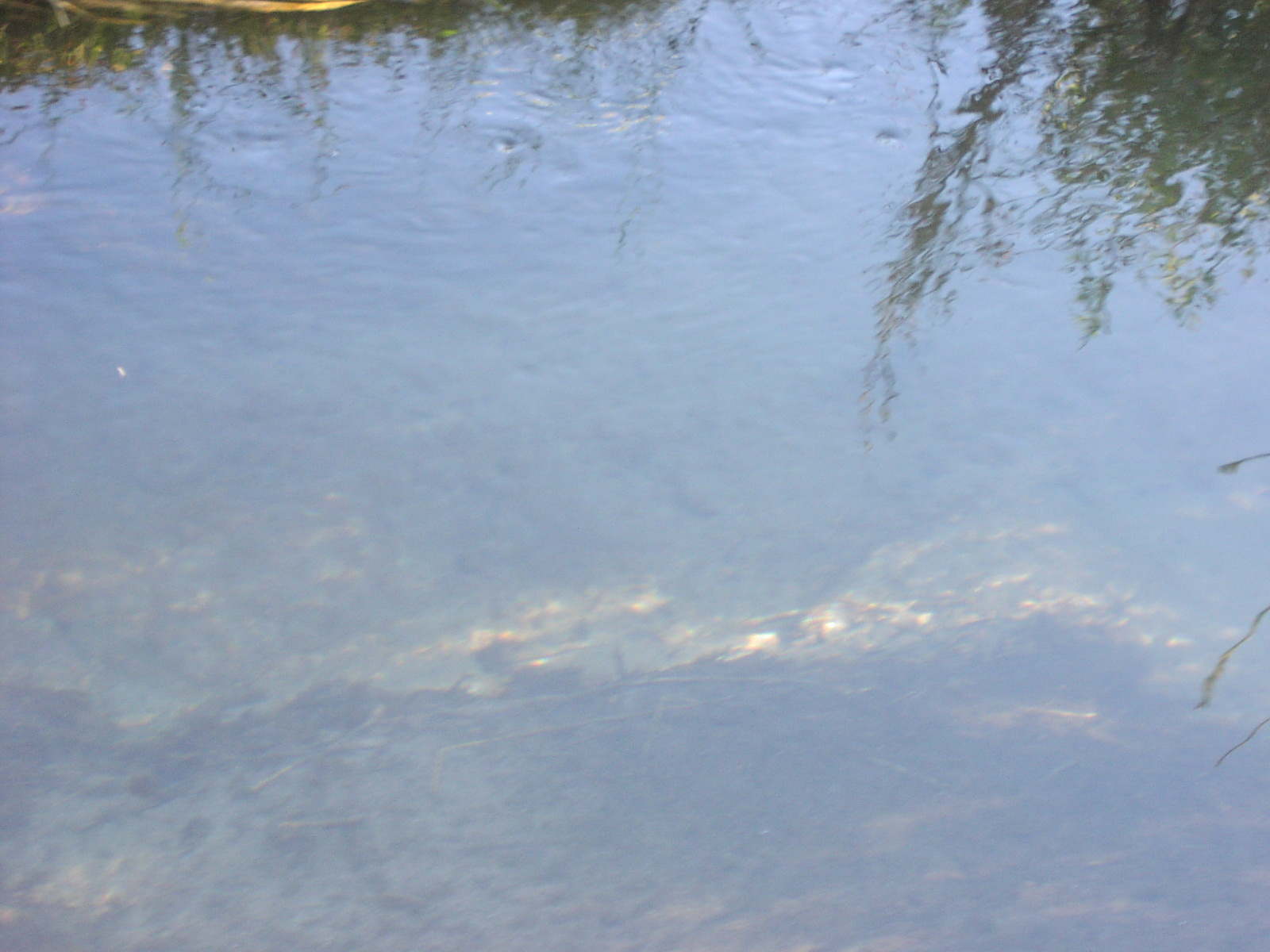
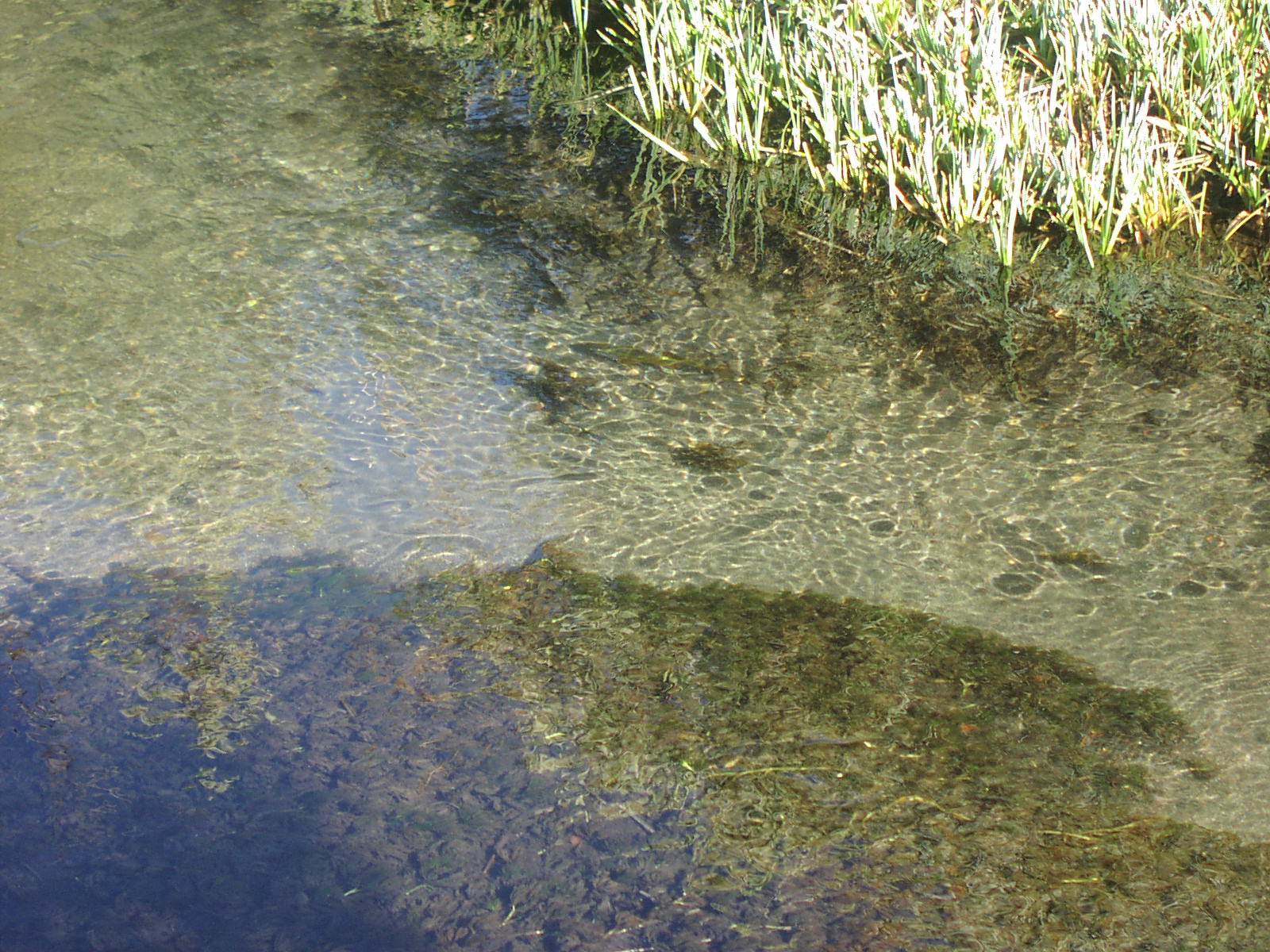
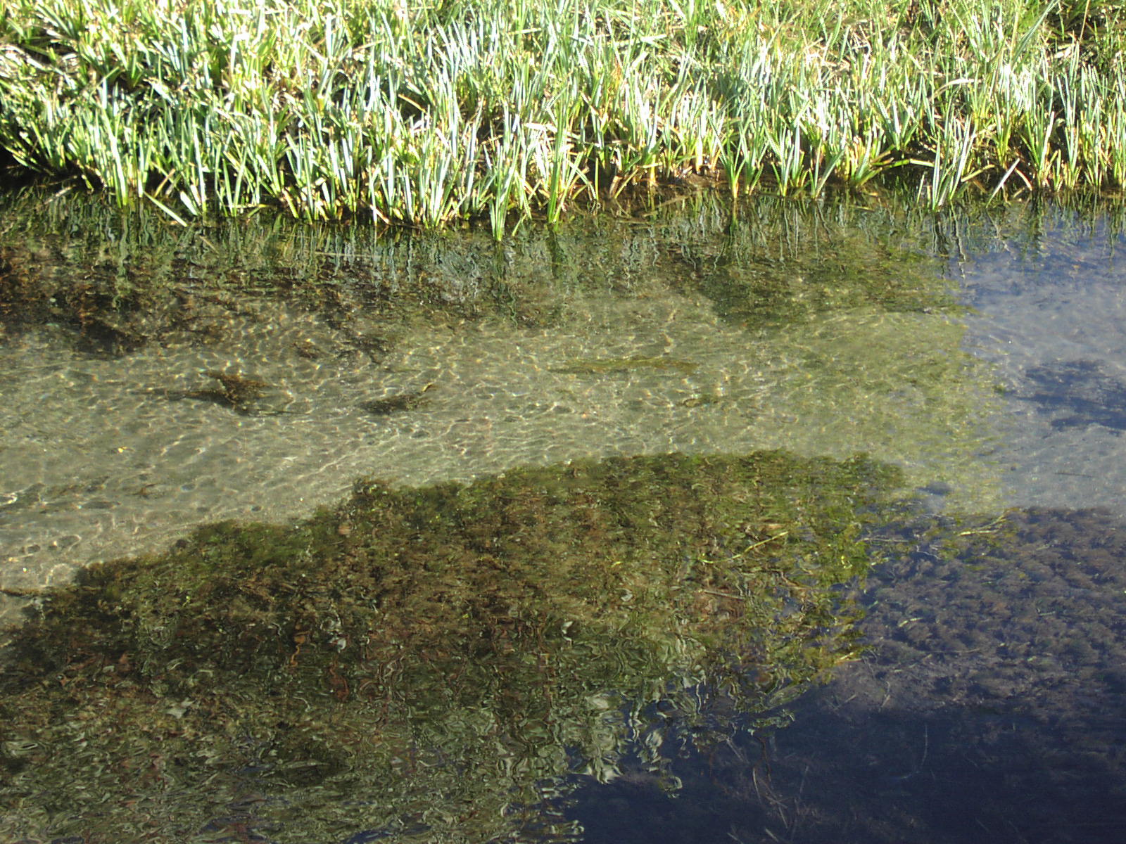
| Fishing | Yes |
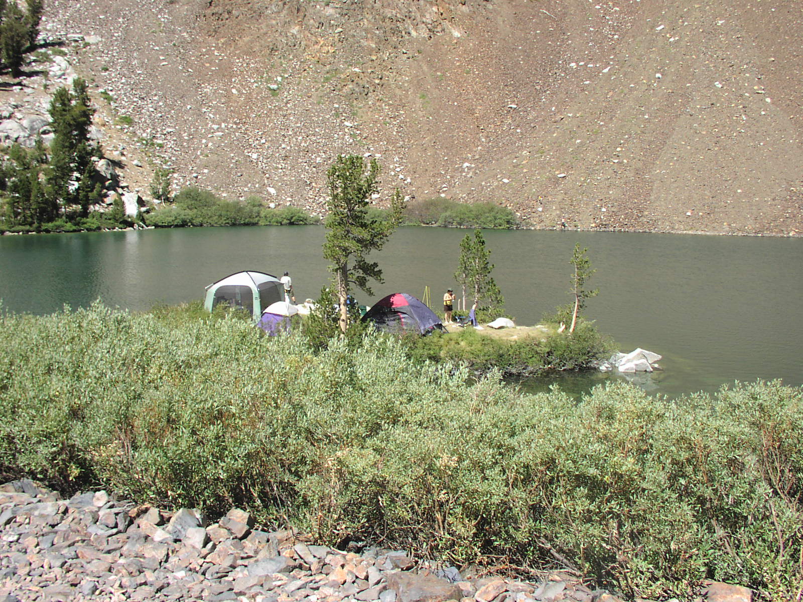
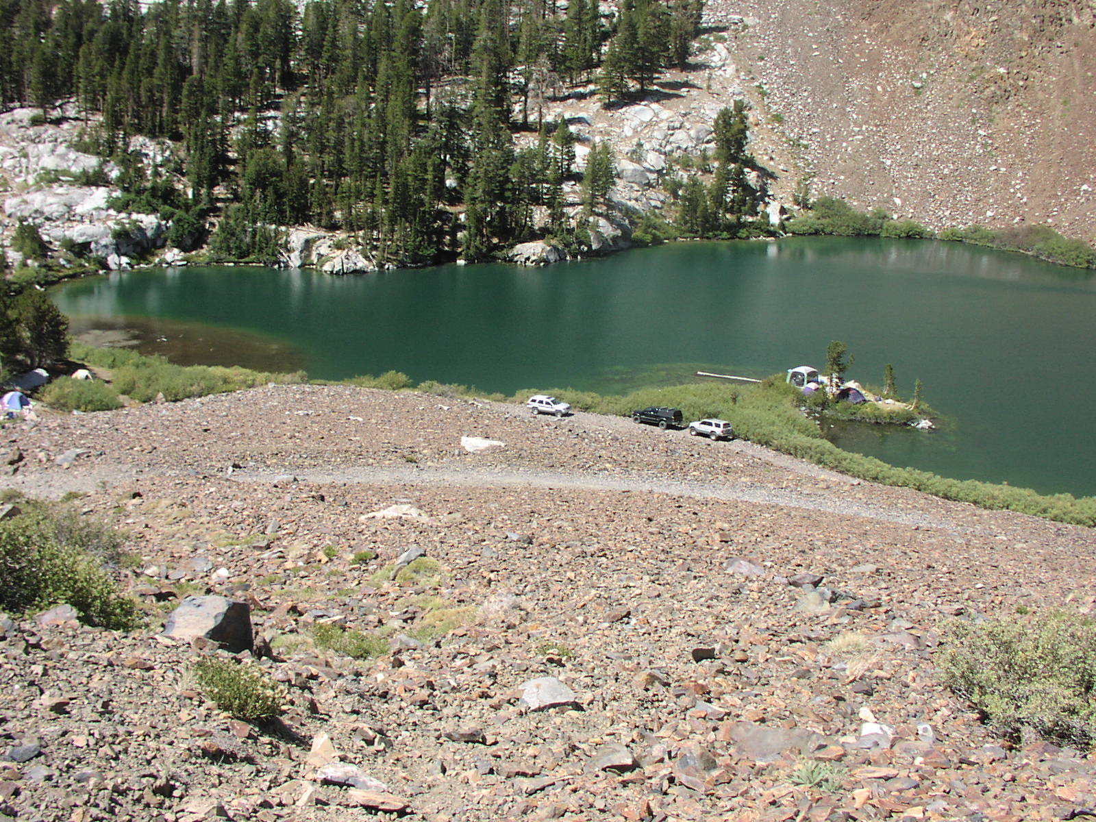
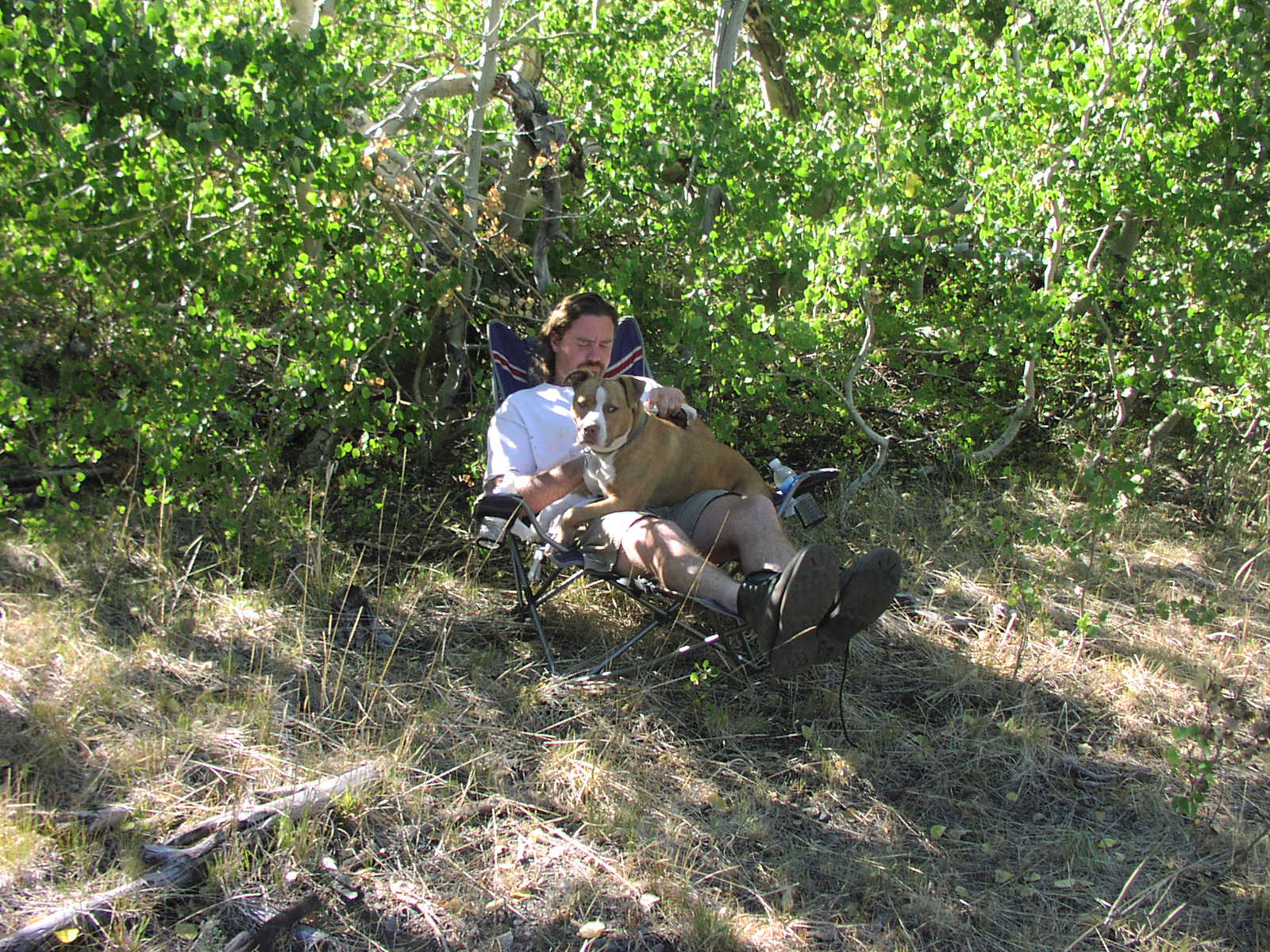
| Camping | At Laurel Lakes and on Laurel Creek . |
| Elevation | 7400 - 9900 |
| Latitude | 37° 34' 35" N |
| Longitude | 118° 54' 51" W |
| Weather | National Weather Service |
| Map Index | D-6 (Inyo National Forest) |
| Maps |
Small Map of Area Inyo National Forest Map (8.6MB) |
| Video | Sierra 2008 - Laurel Lake |
View Larger Map
|