| Author | whokrz |
| Year | 2008 |
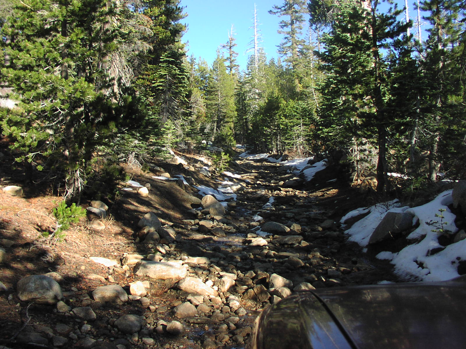
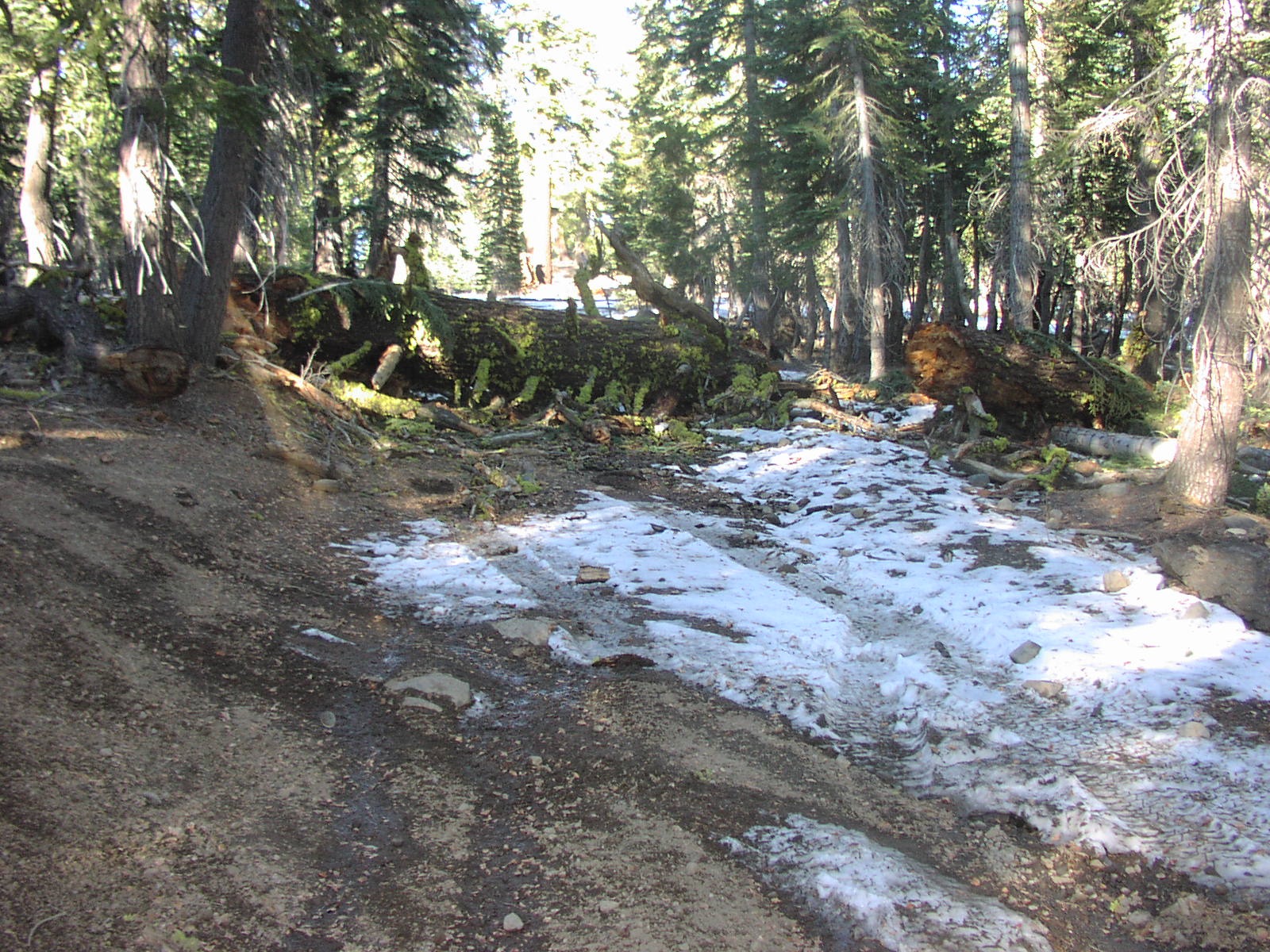
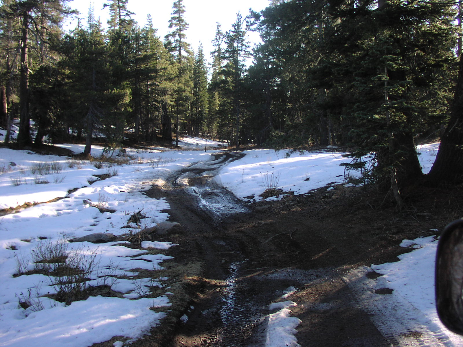
| Trail Open | June - October (Depending on snow level) |
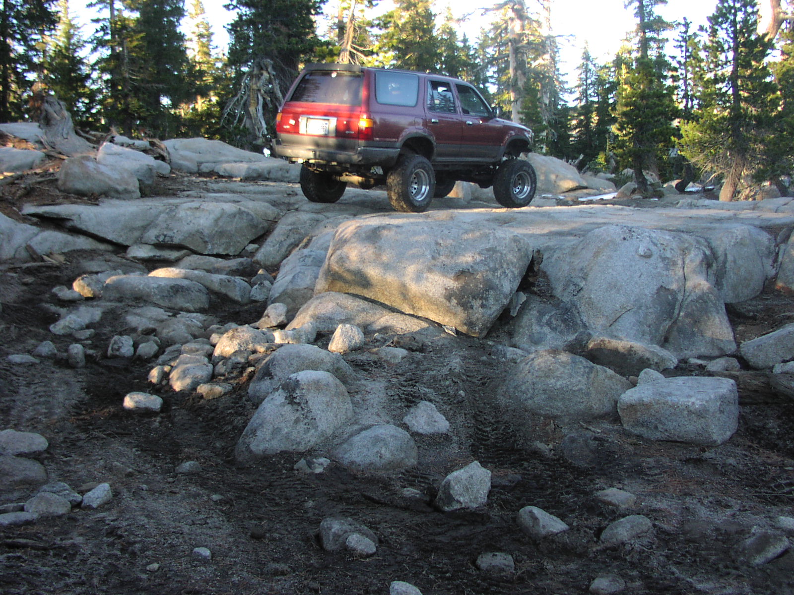
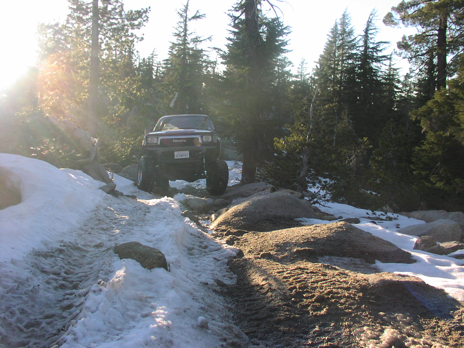
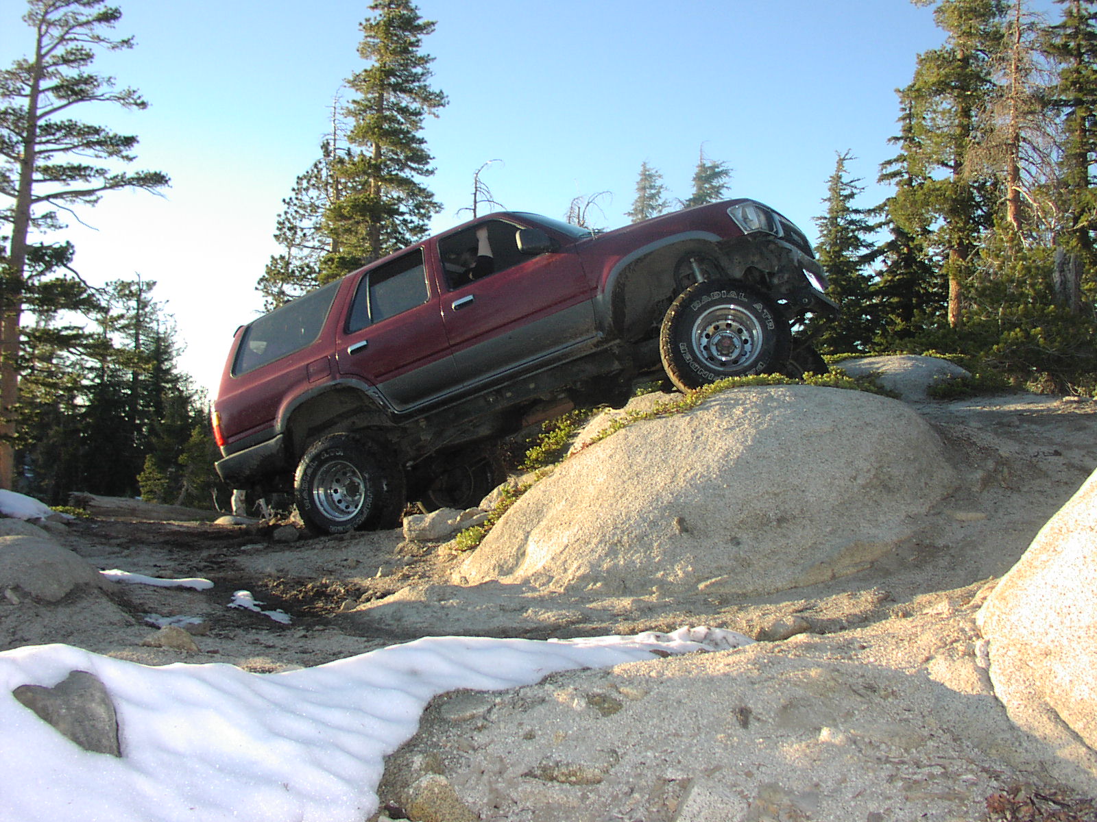
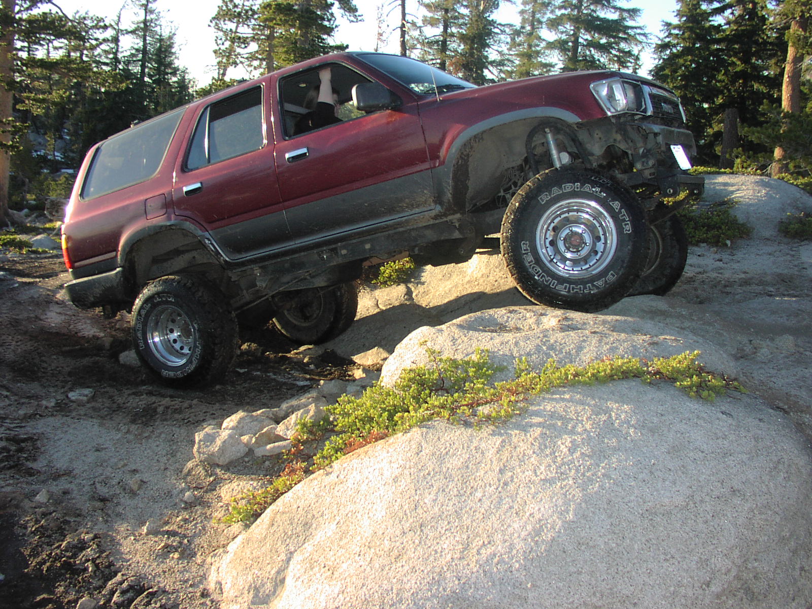
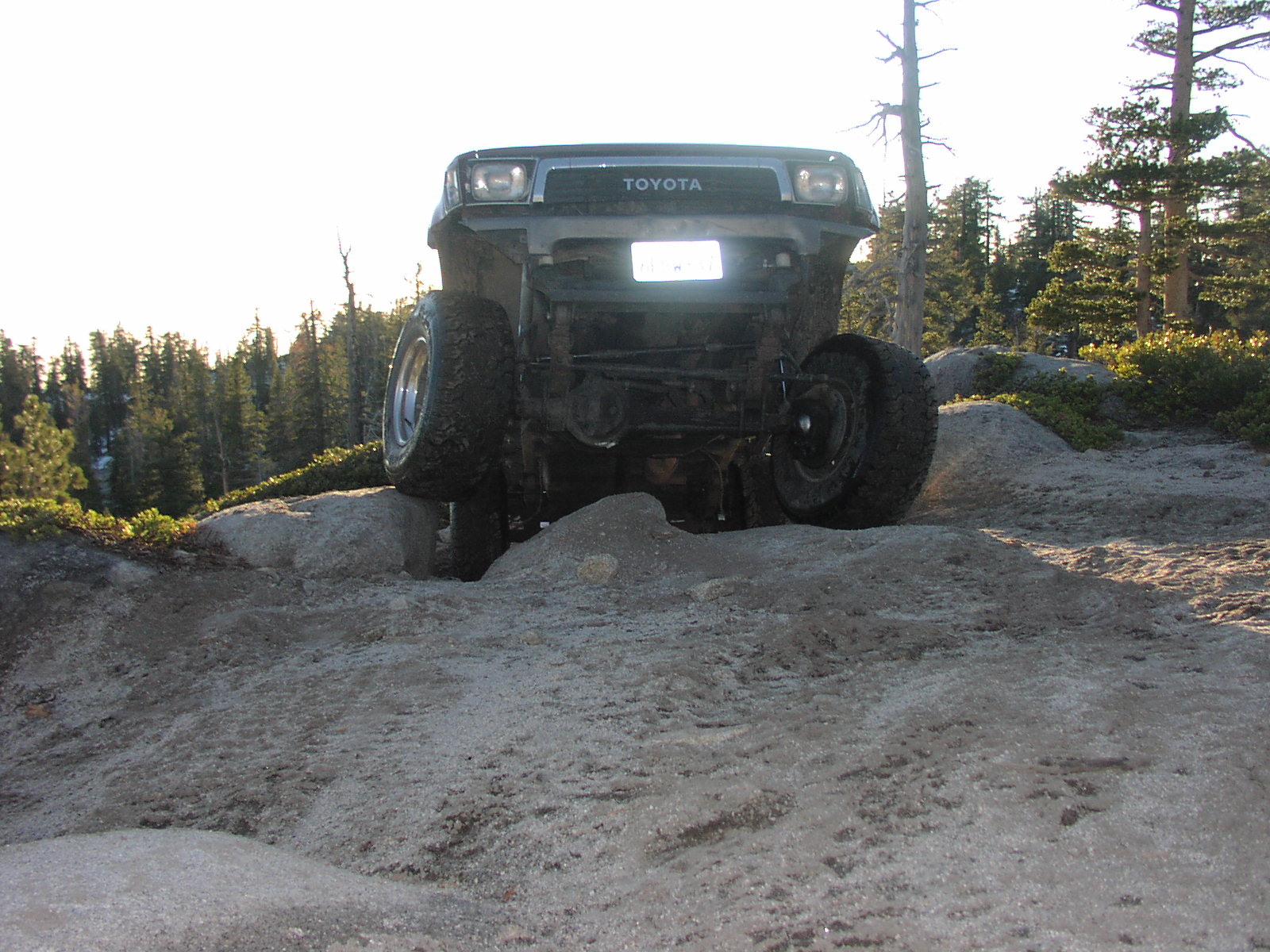
| Difficulty | Moderate [6] |
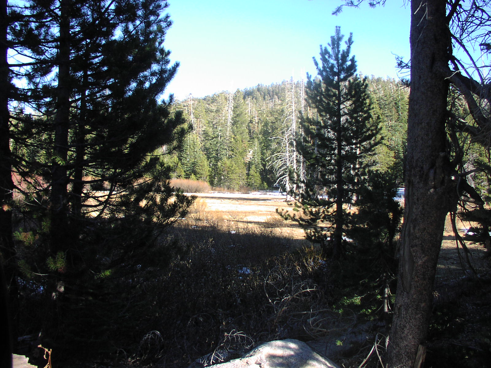
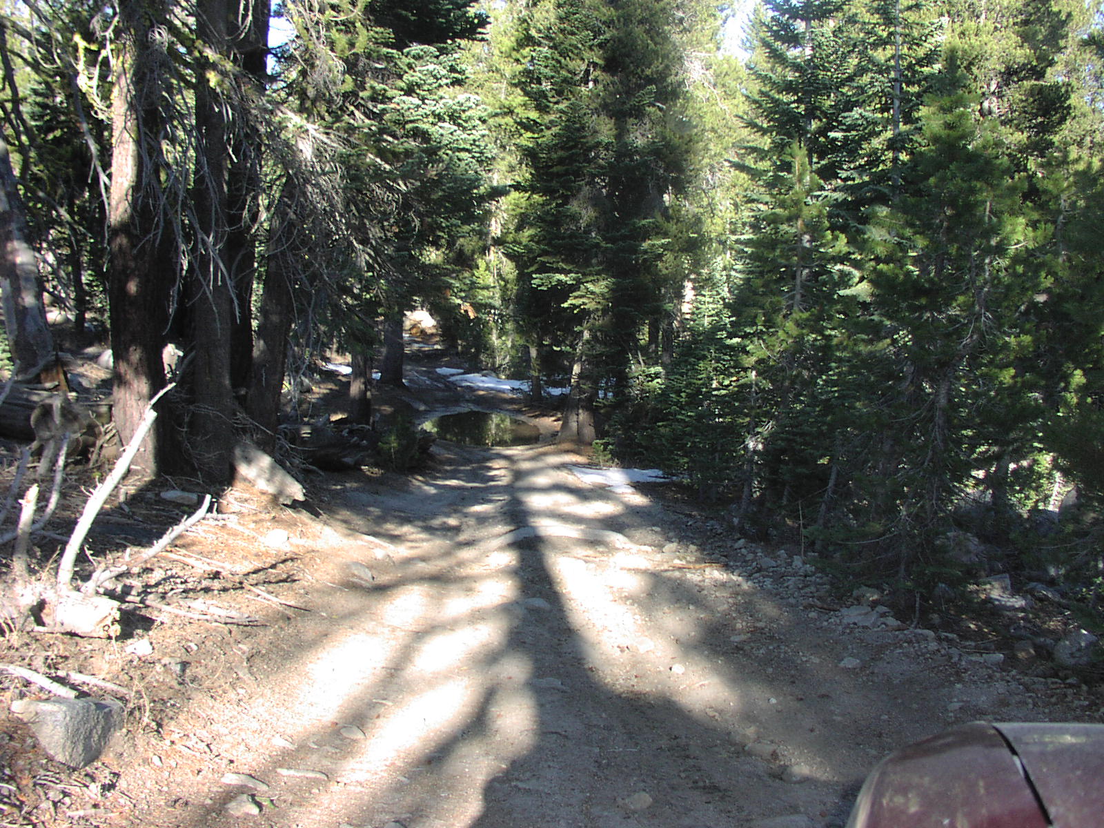
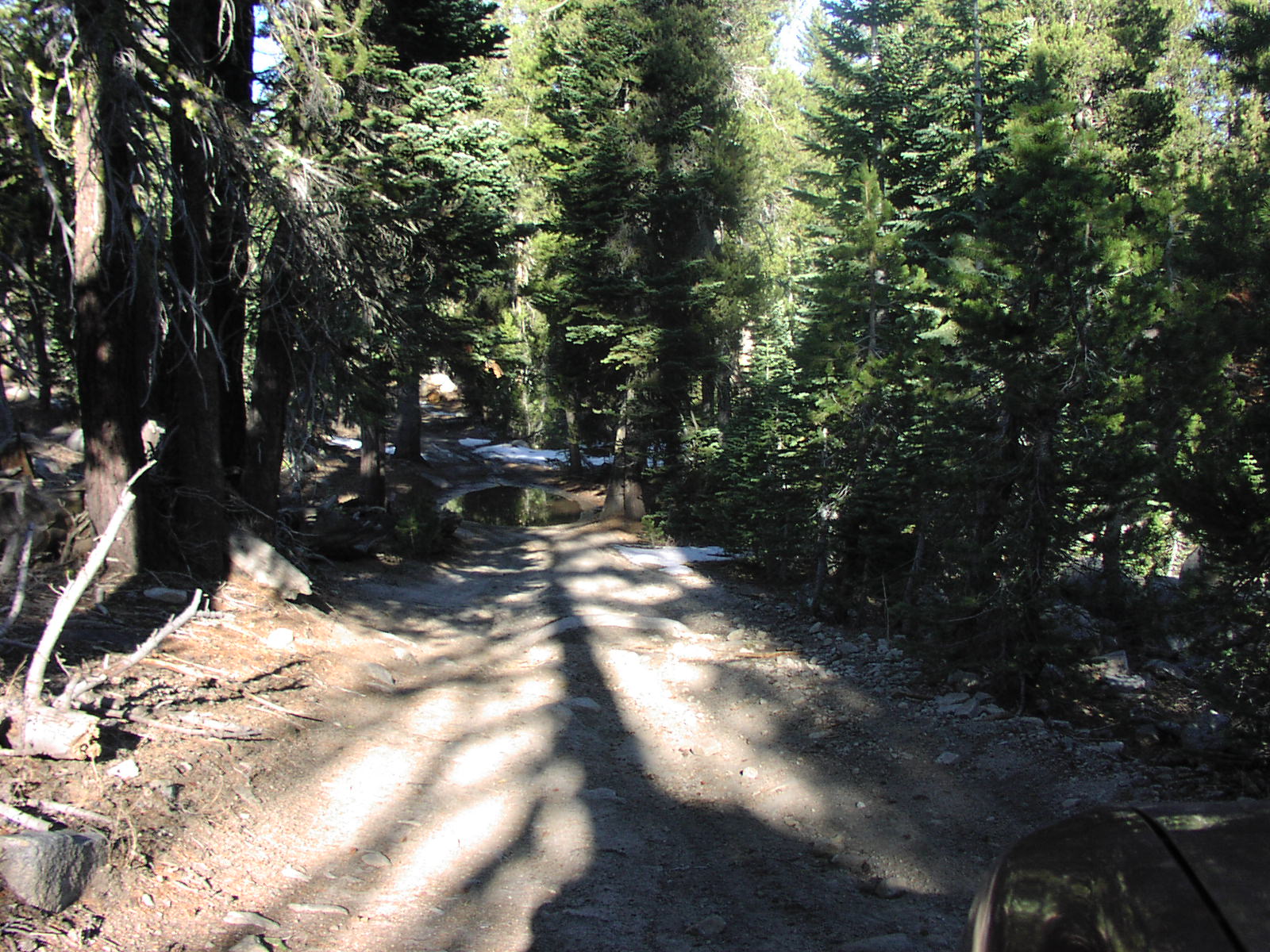
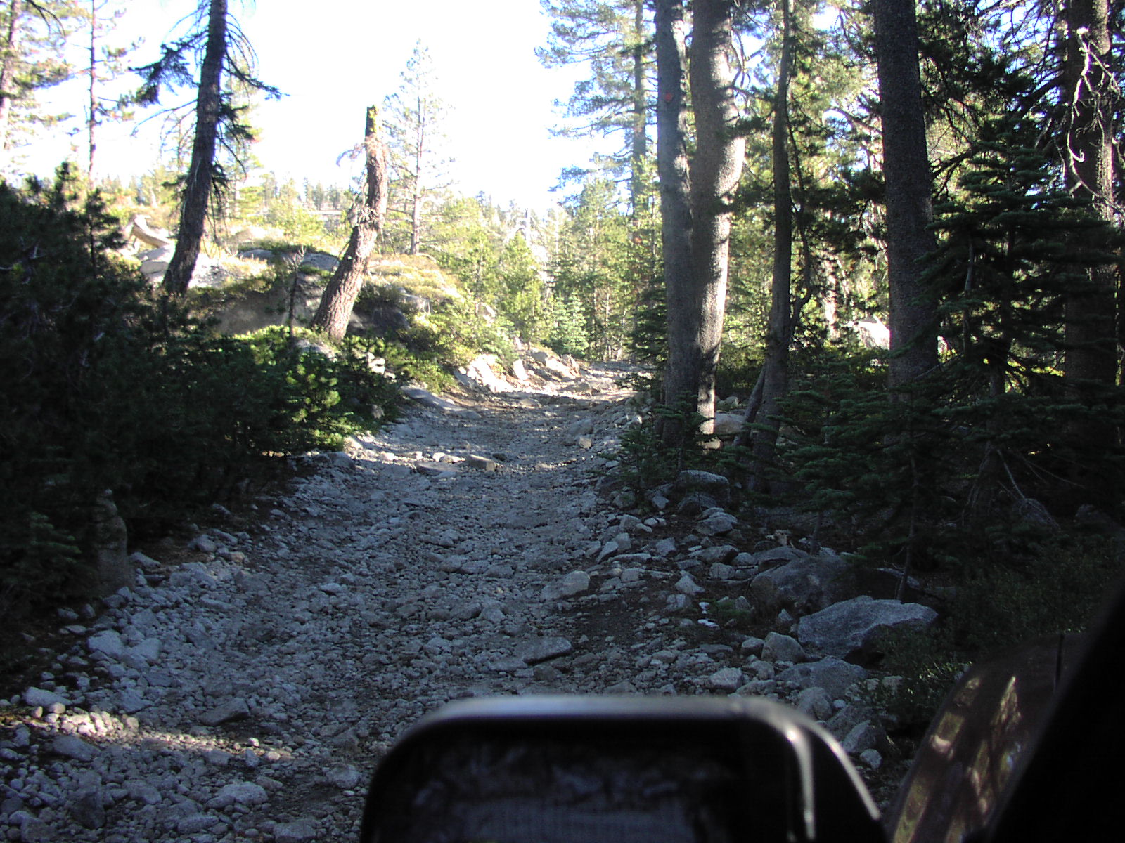
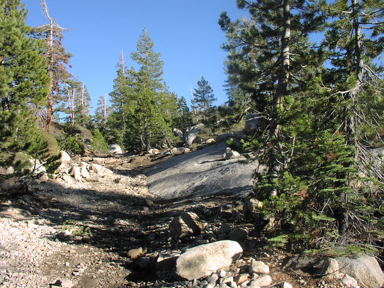
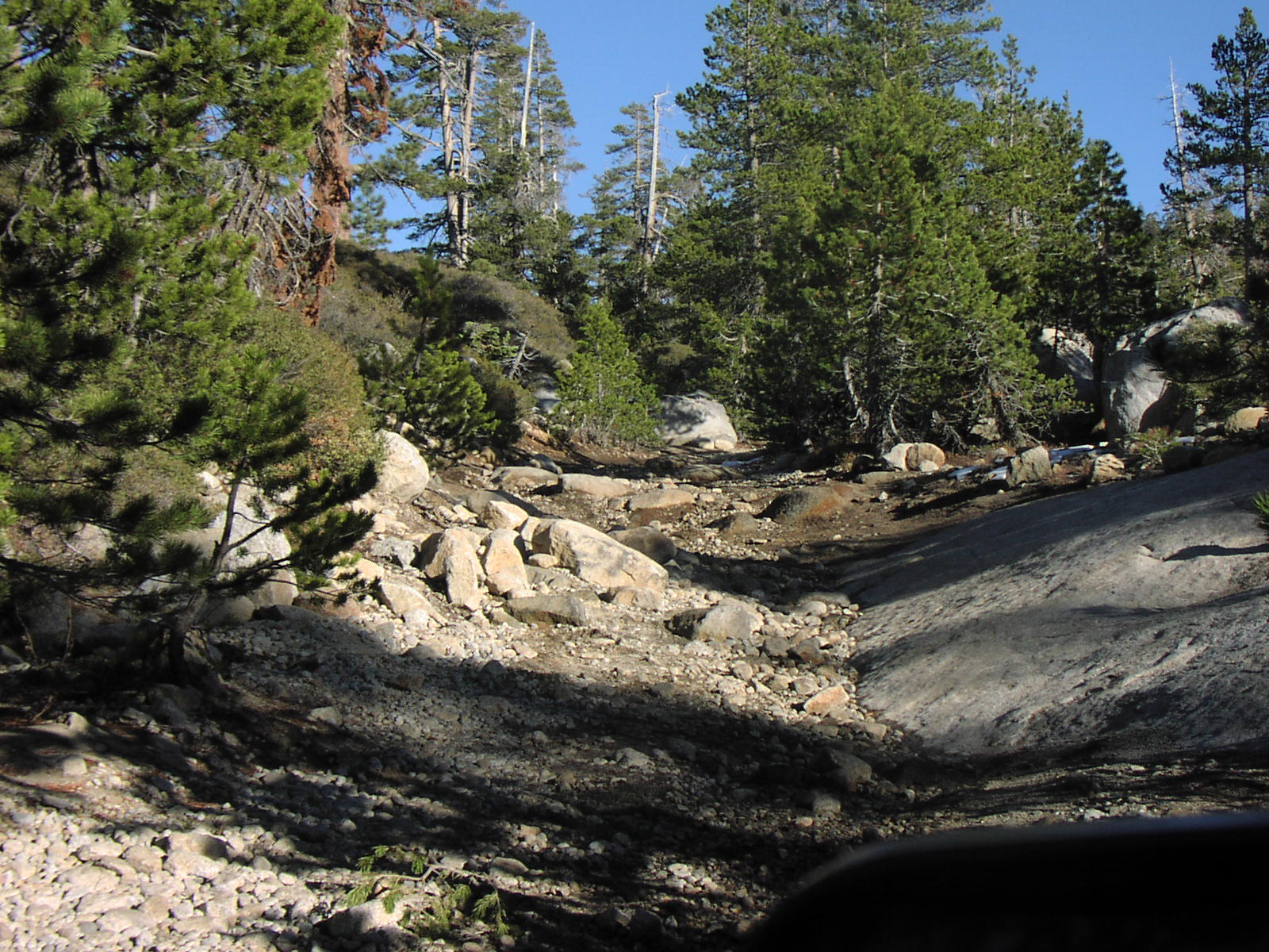
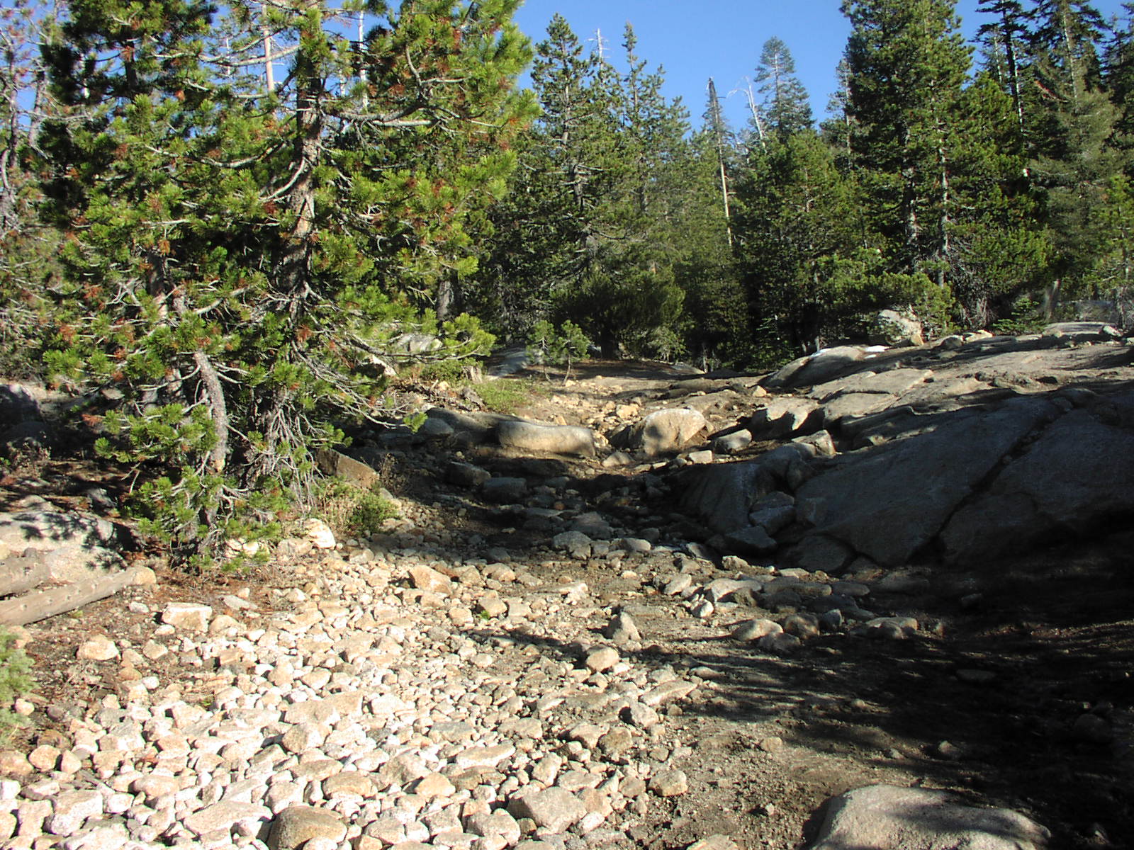
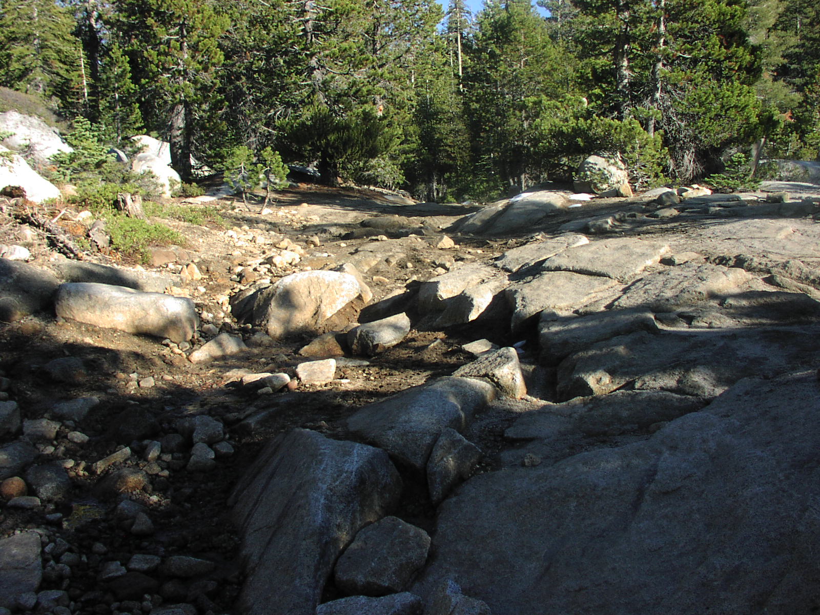
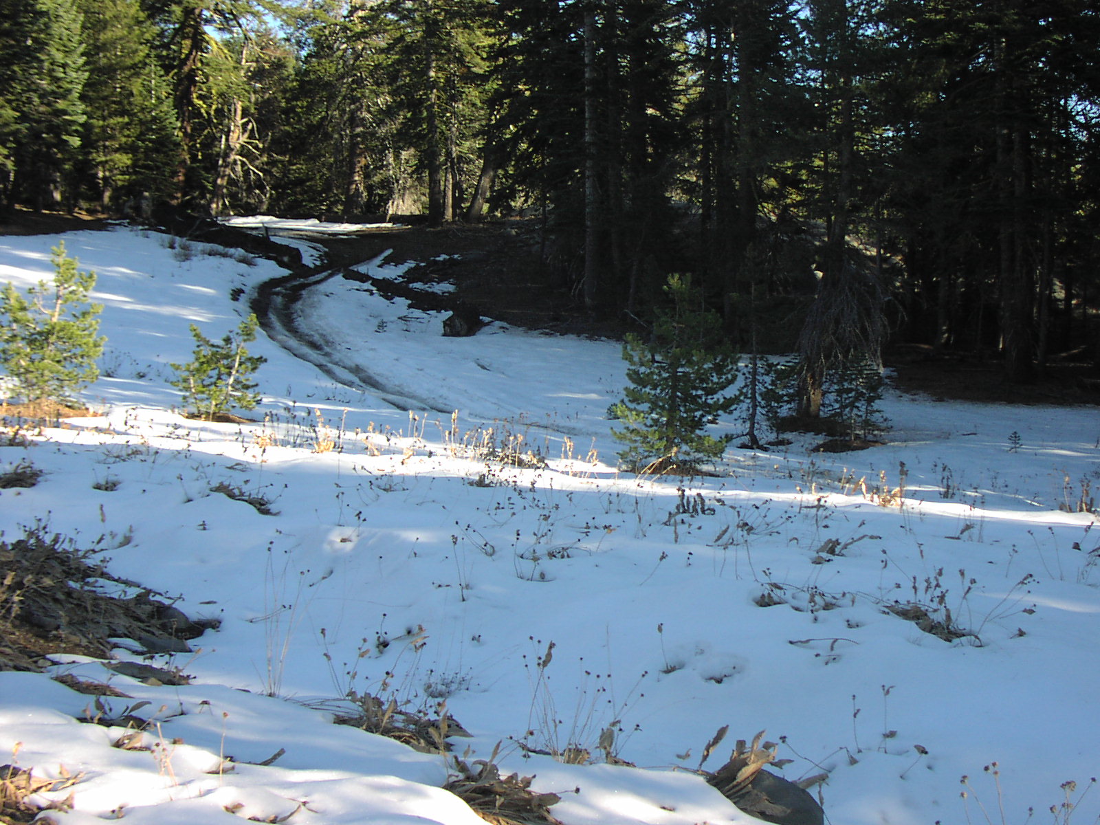
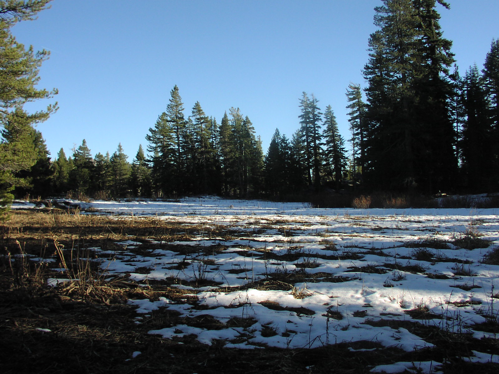
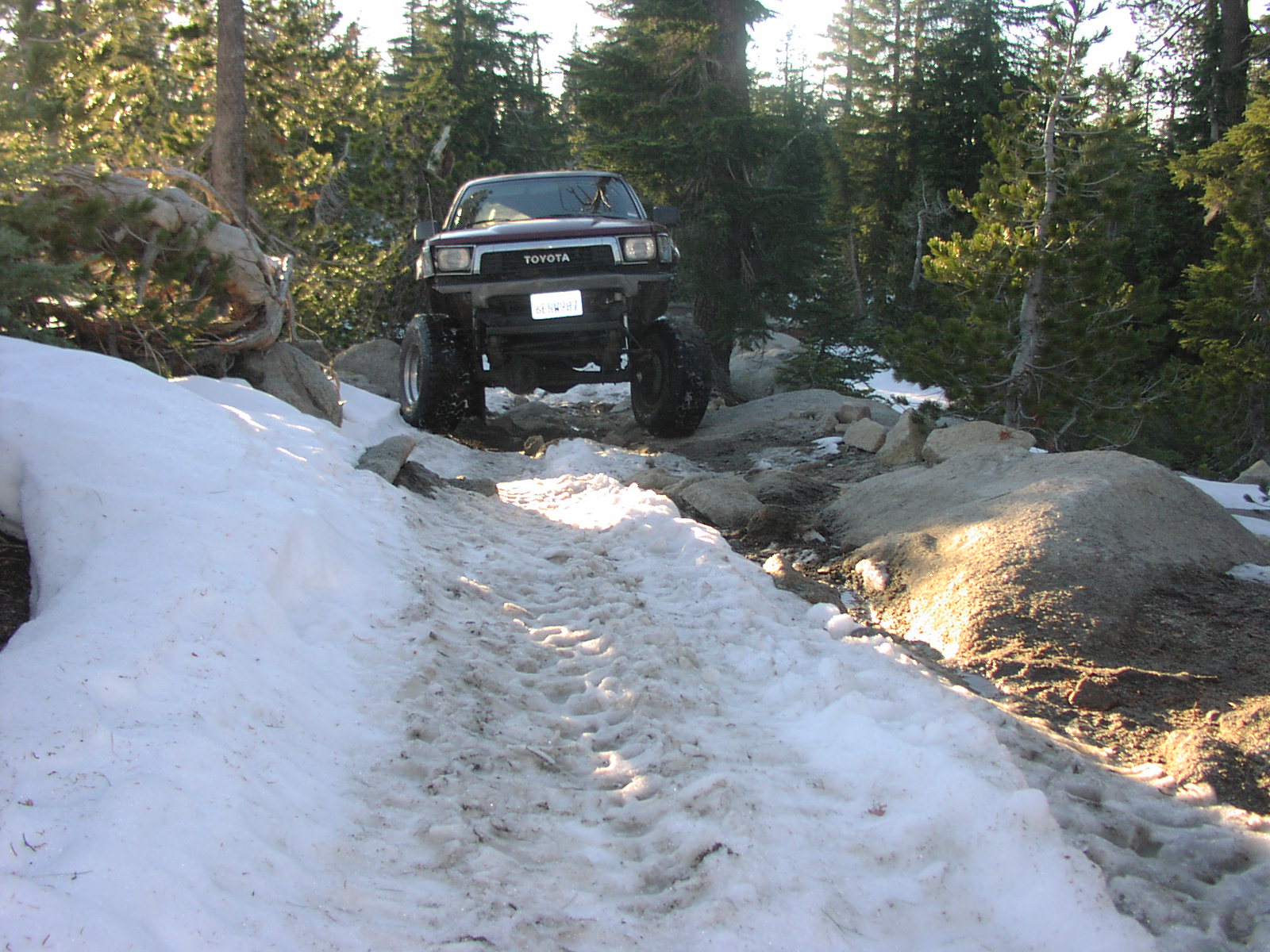
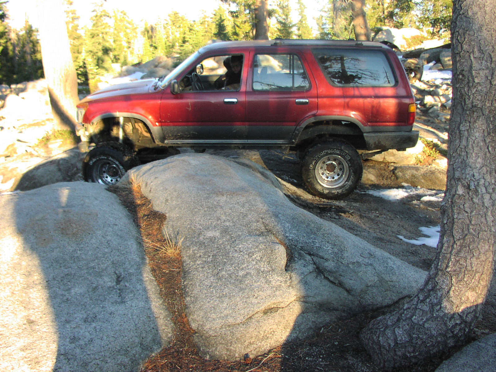
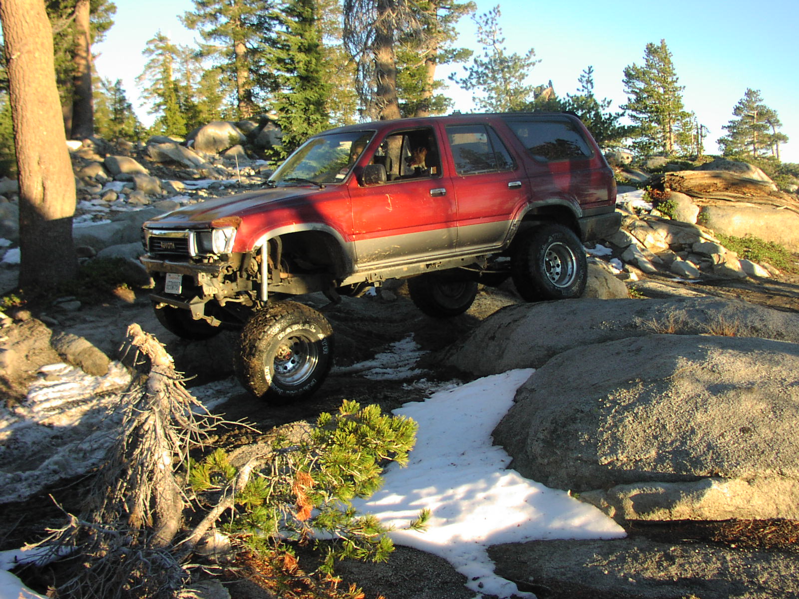
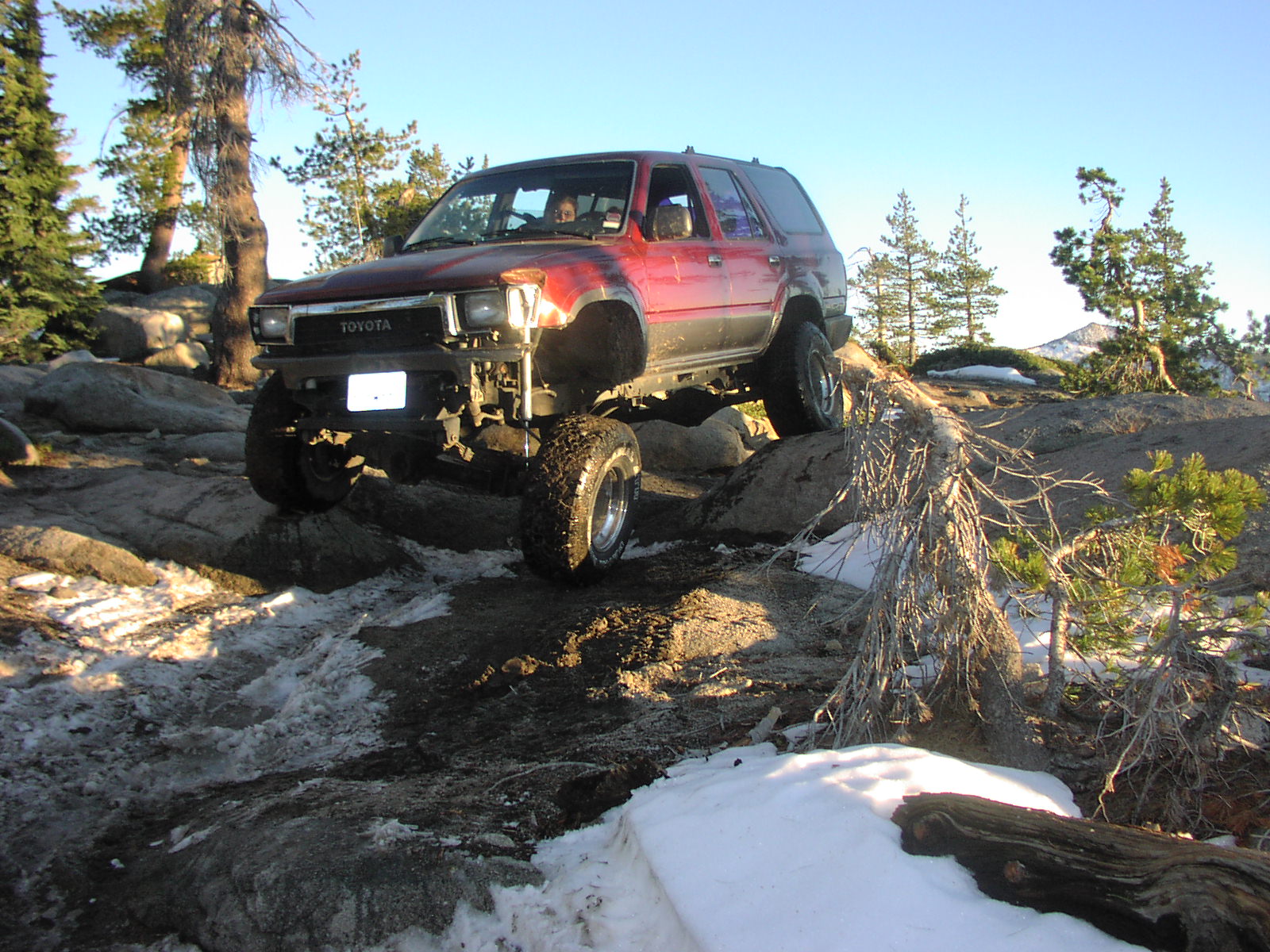
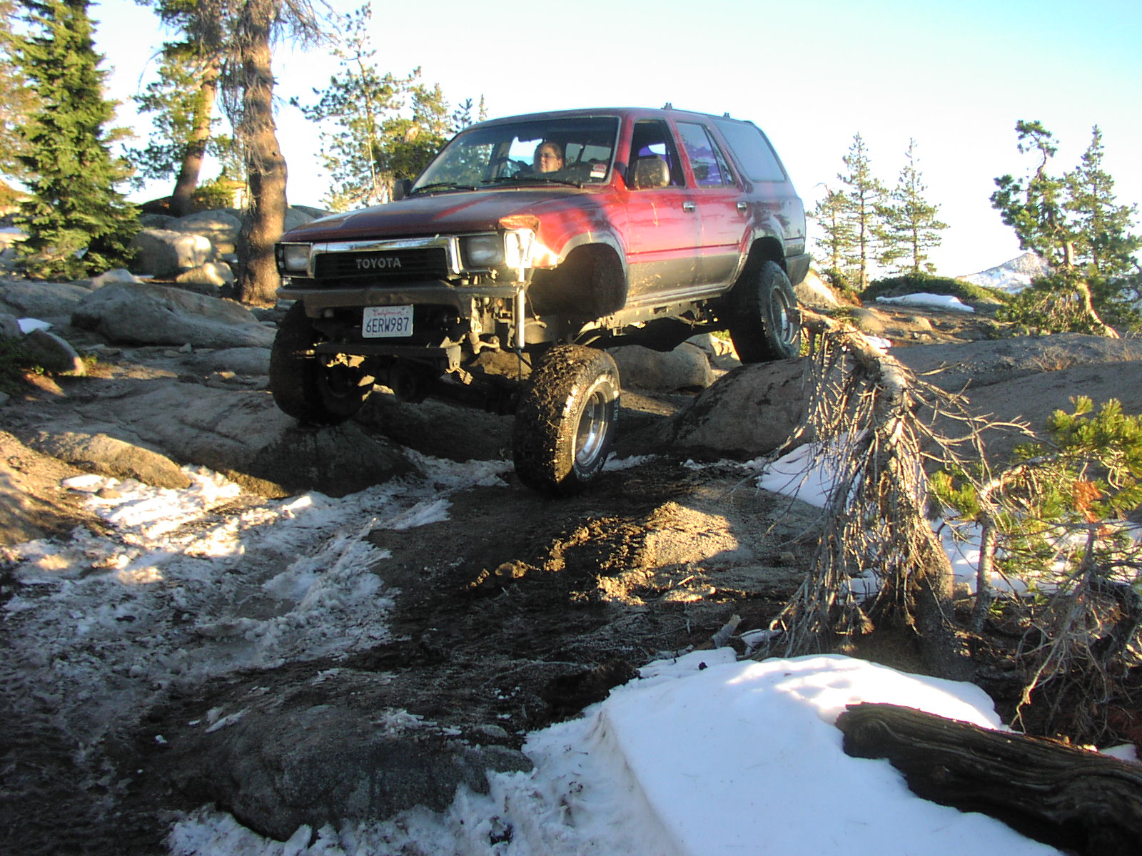
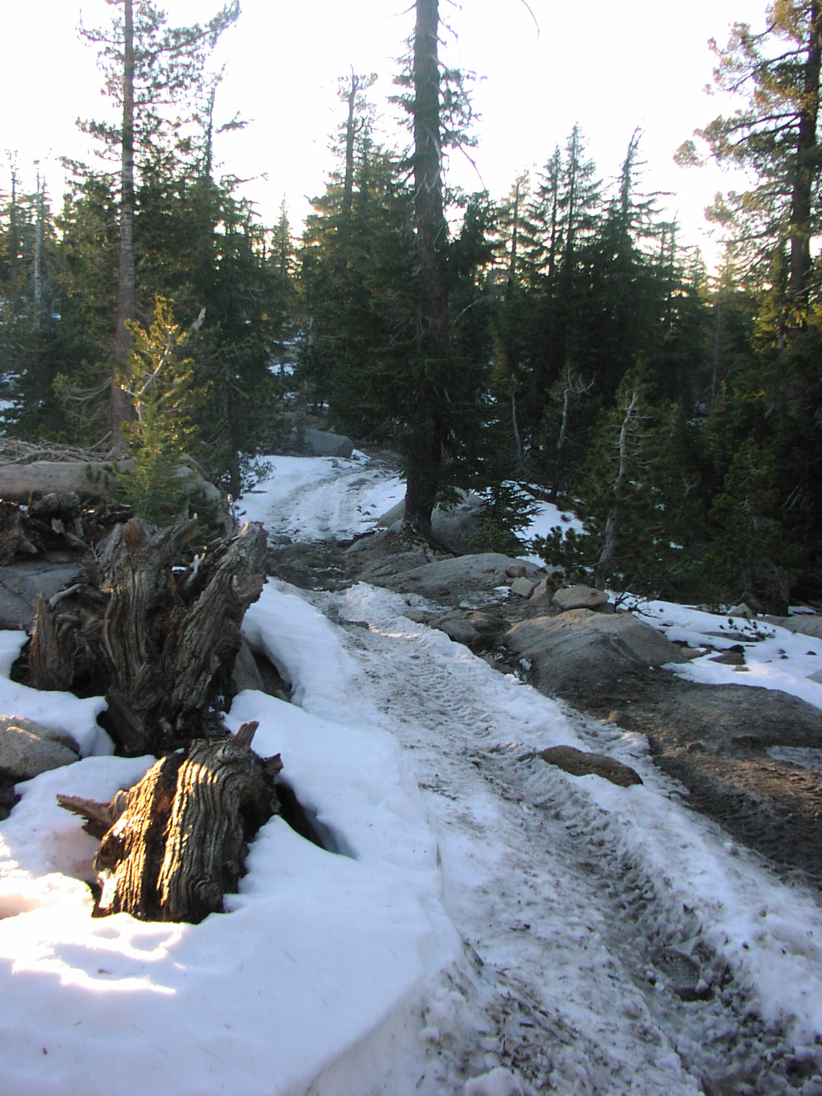
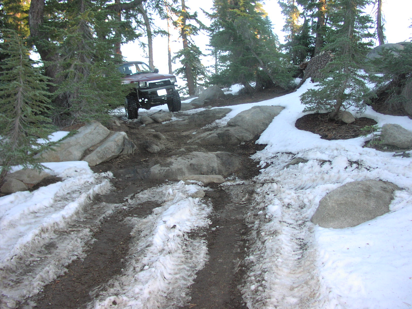
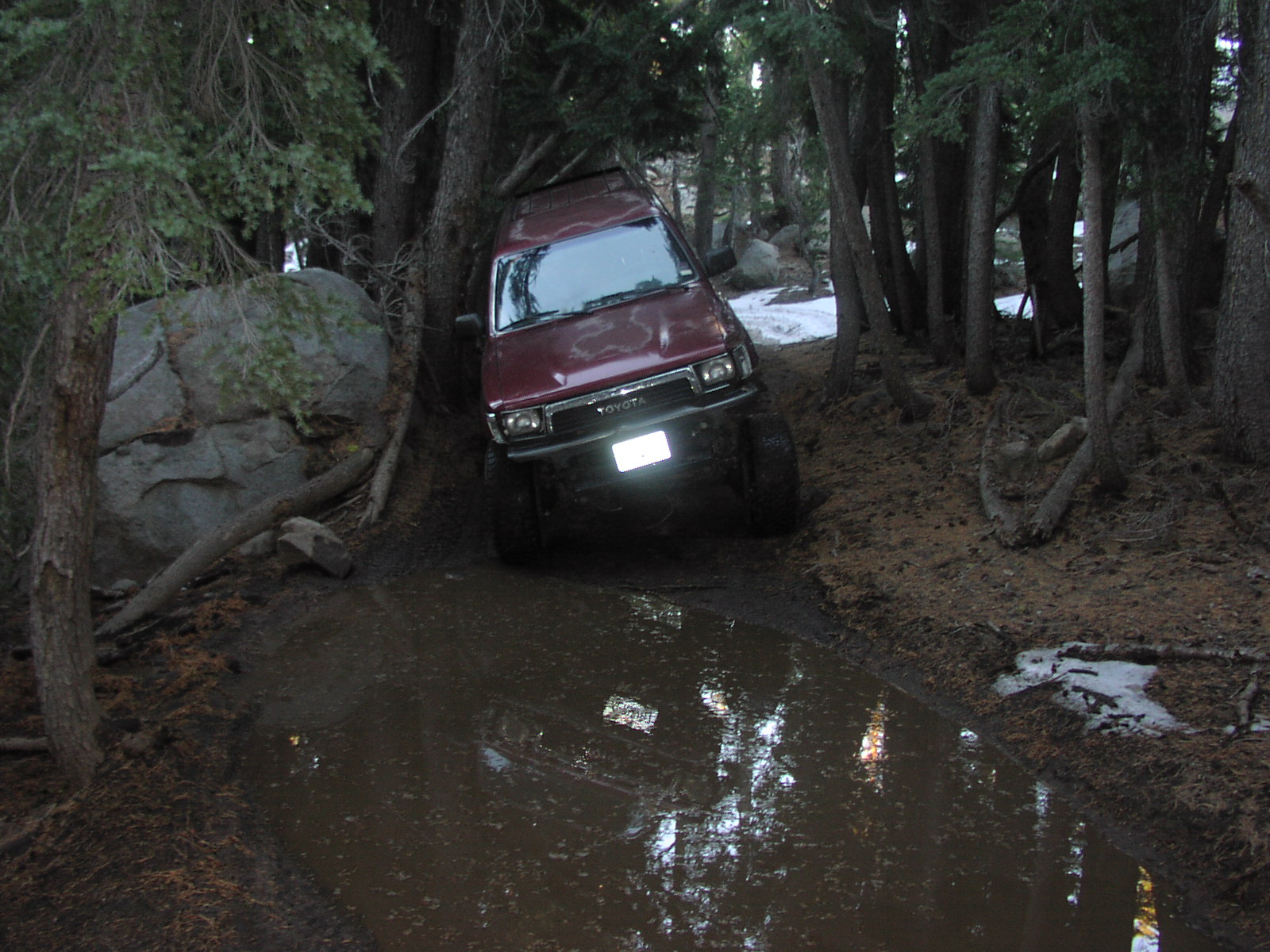
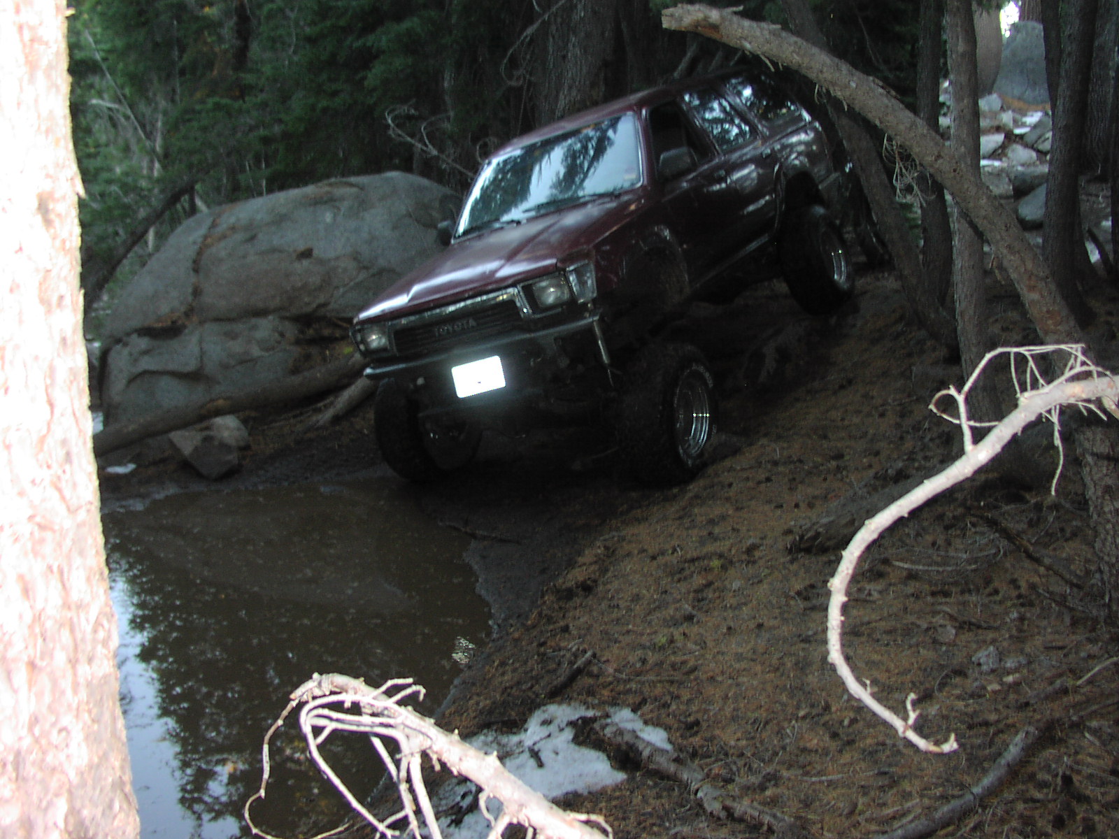
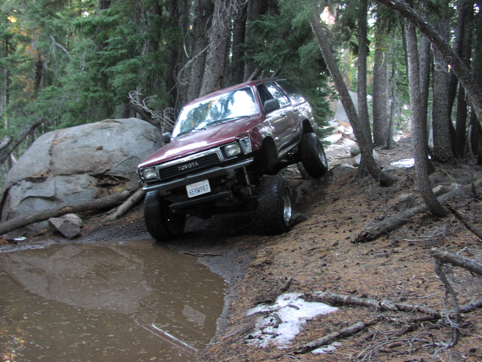
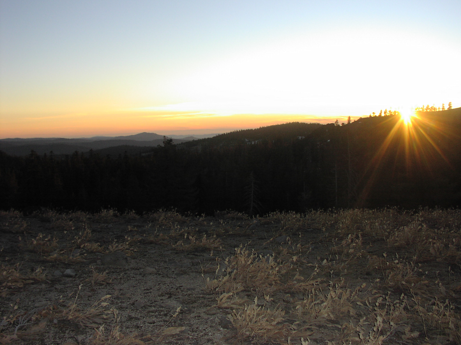
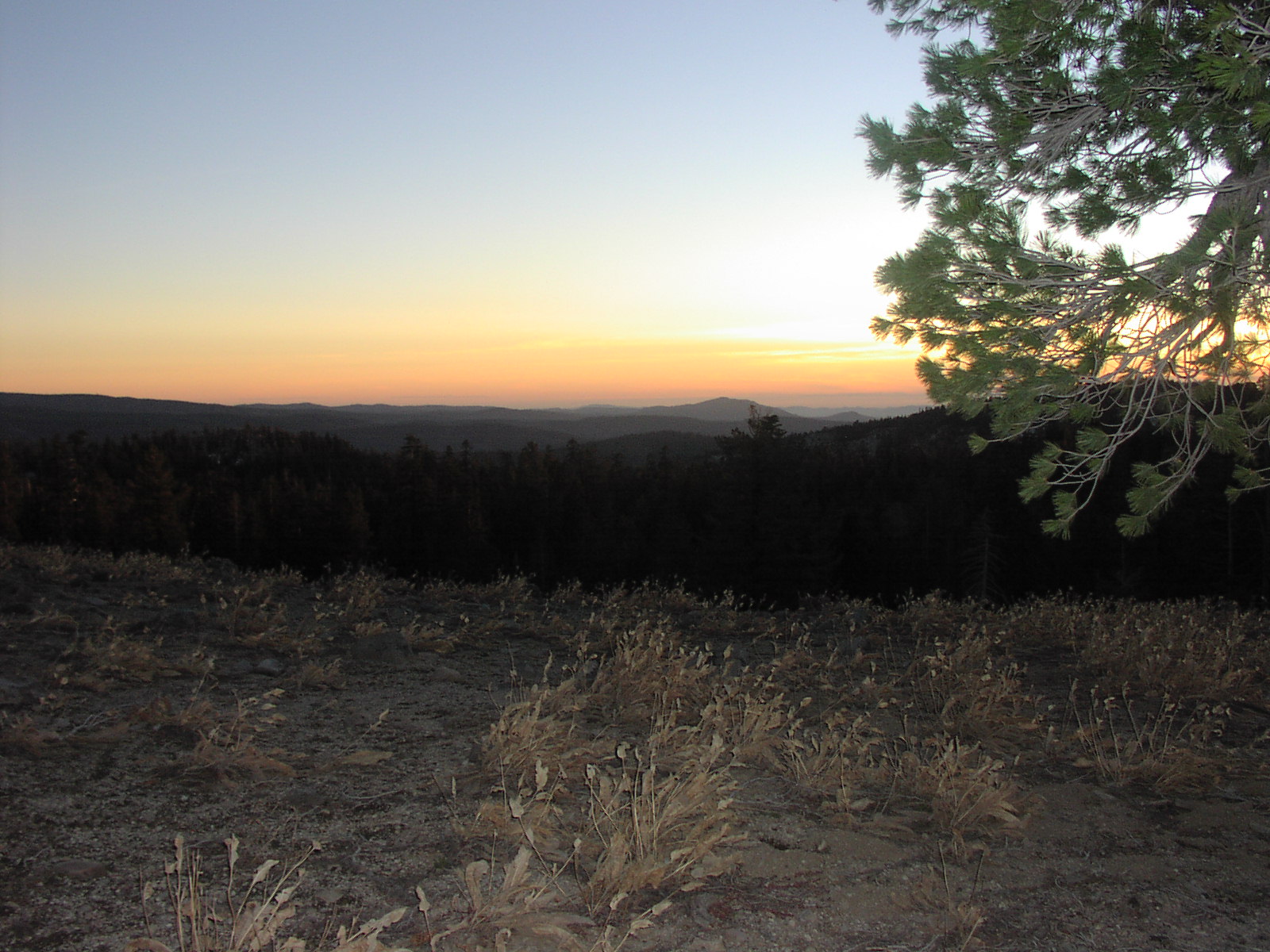
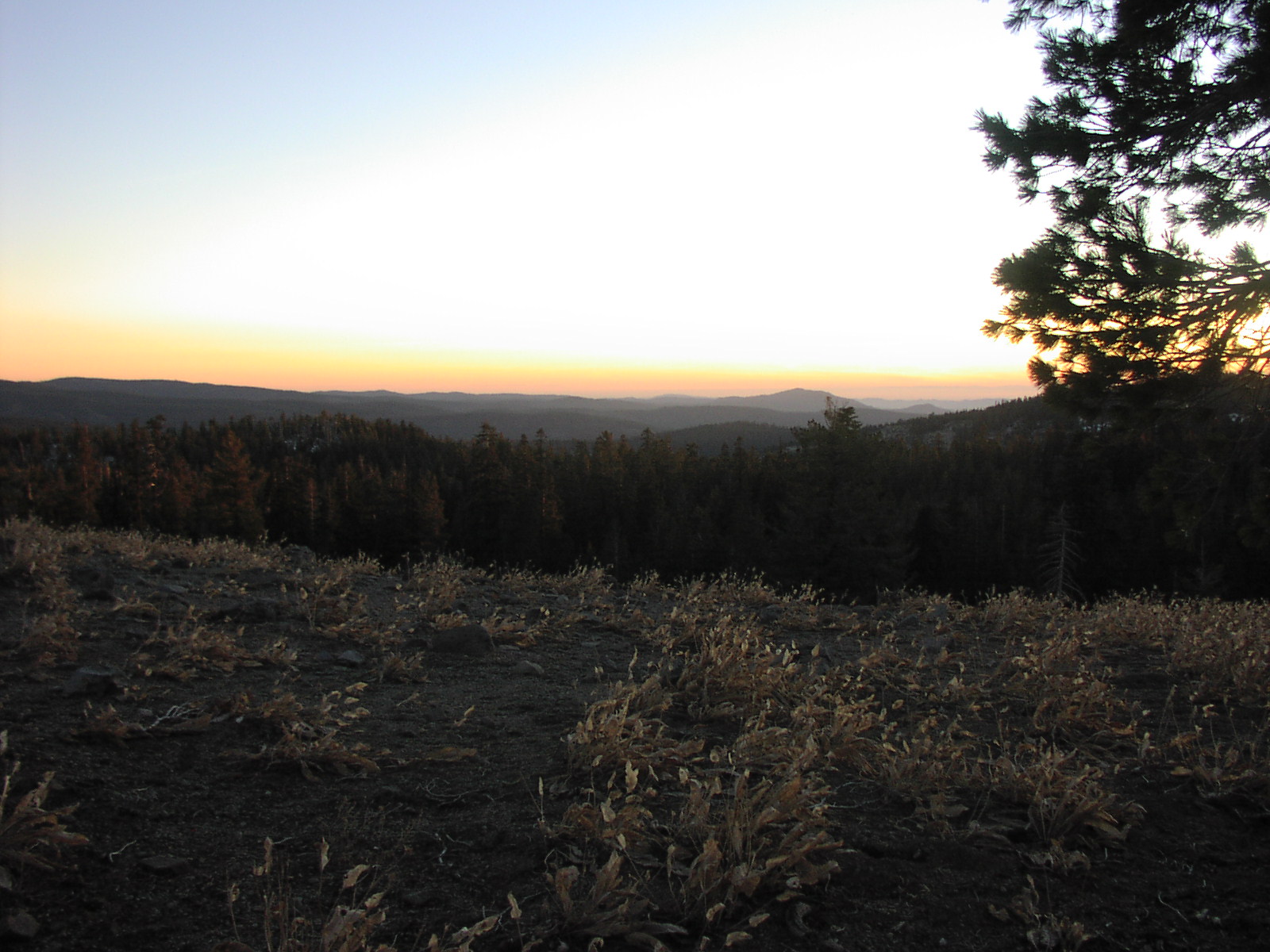
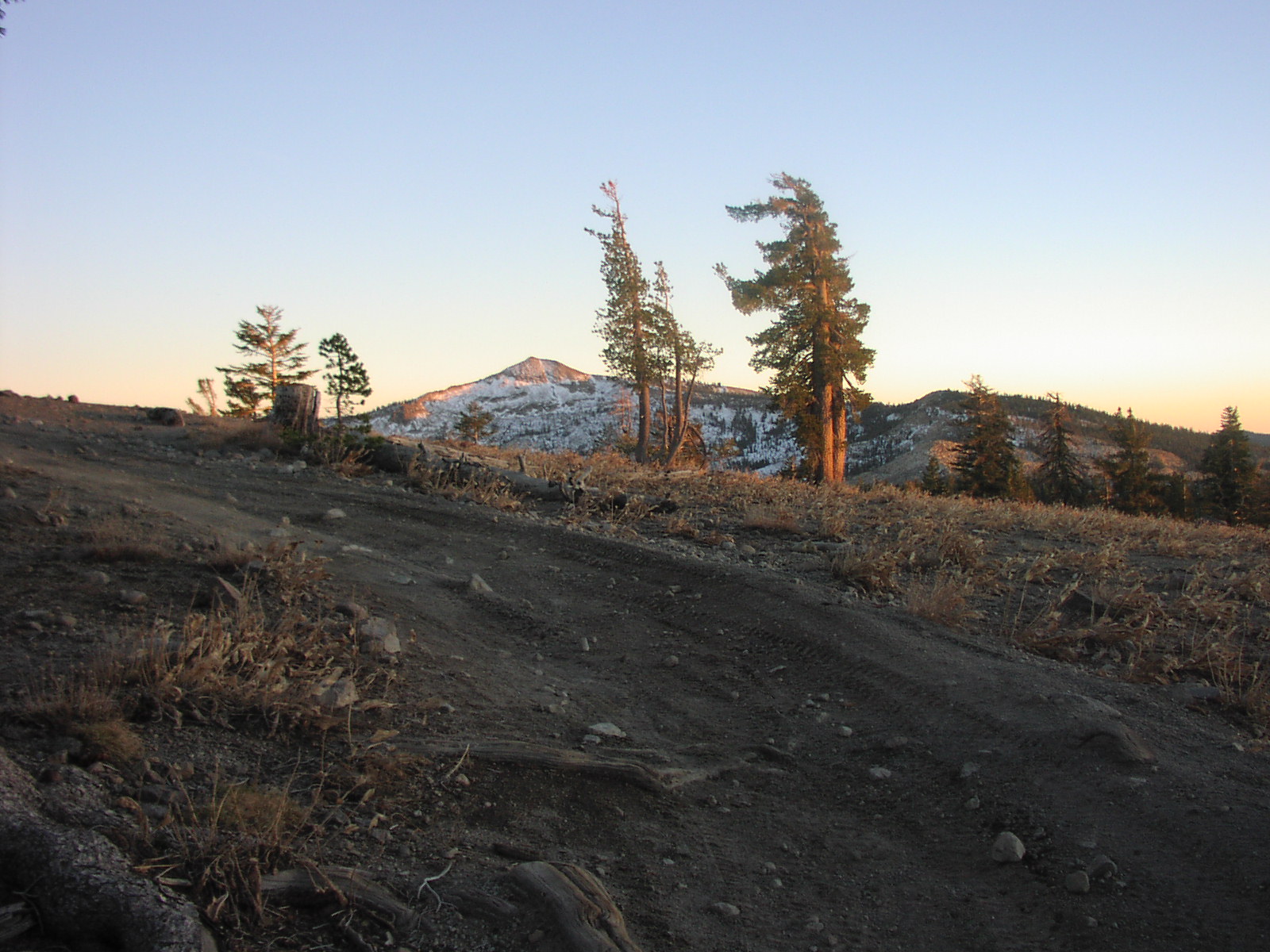
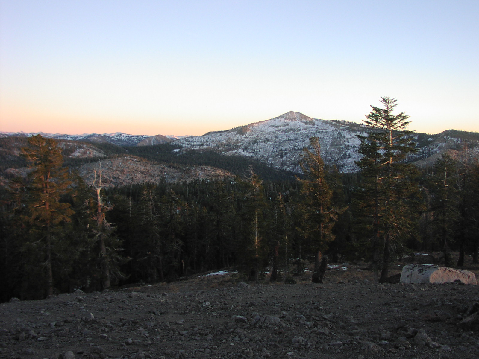
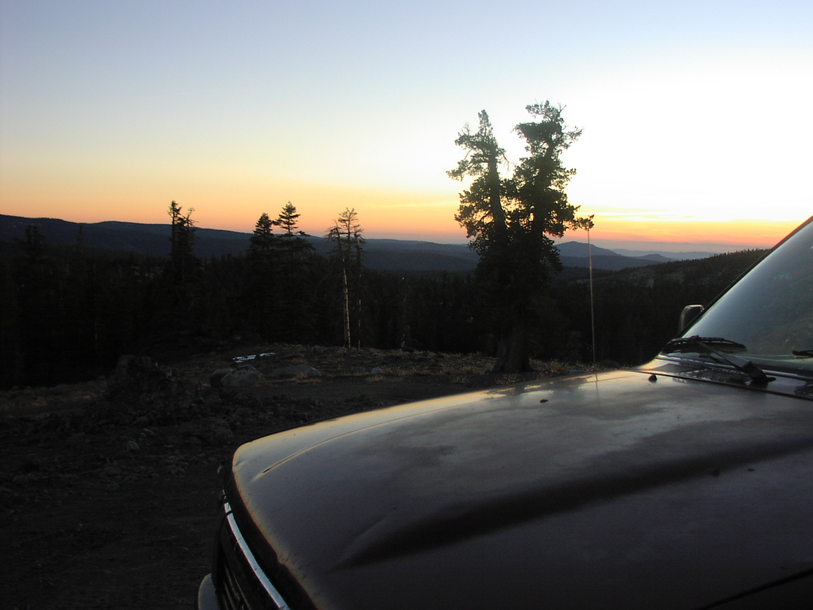
| Description | There was a little bit of snow when I was there. The beginning of the trail was easy and gets harder as you go along. I think I made it about half way up the trail before I turned around. |
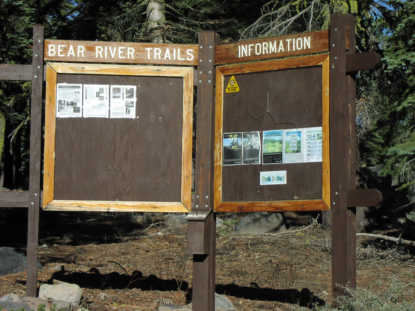
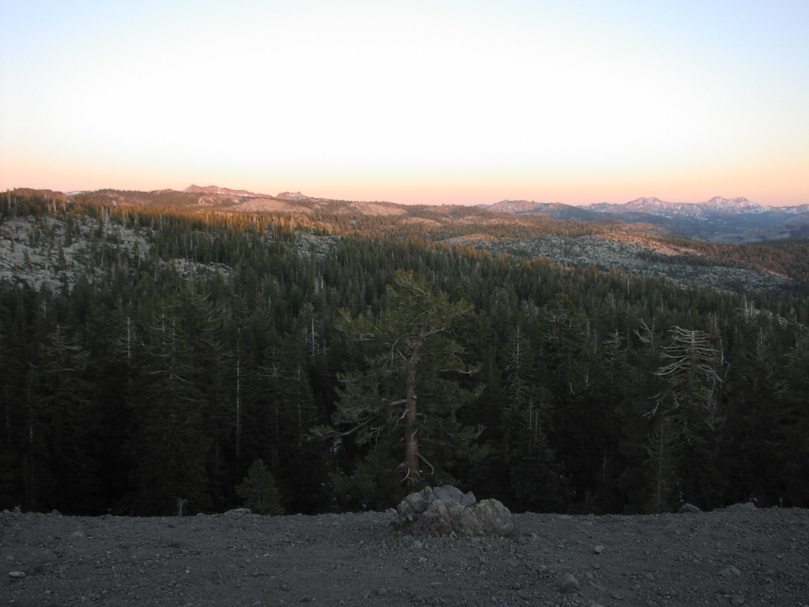
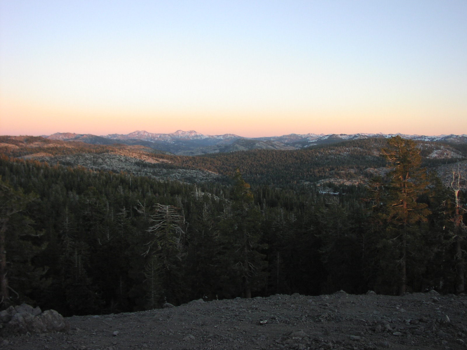
| Location | 8N03 and 9N82, Eldorado National Forest. The trail starts just east of Lower Bear River Reservoir and goes up Squaw Ridge. |
| Directions | Google Maps from Sacramento |
| Fishing | At Lower Bear River Res. |
| Camping | Yes |
| Elevation | 7000 - 8200 |
| Latitude | 38° 33' 14" N |
| Longitude | 120° 12' 2" W |
| Weather | National Weather Service |
| Map Index | G-6 (Eldorado National Forest) |
| Maps |
Small Map of Area Eldorado National Forest Map (9MB) |
| Links | NorCal TTORA Pardoe's Trail |
View Larger Map


|